Information
Landmark: Fort Frederica National MonumentCity: Brunswick
Country: USA Georgia
Continent: North America
Fort Frederica National Monument, Brunswick, USA Georgia, North America
Fort Frederica National Monument preserves the remains of a British colonial fort and settlement located on St. Simons Island, Georgia.
The site protects archaeological evidence of the fort and associated town, established in 1736.
Visual Characteristics
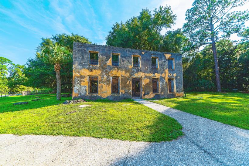
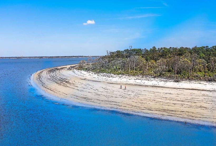
The primary visual elements are the brick ruins of the fort's barracks, officers' quarters, and chapel. These structures are constructed from tabby, a concrete-like material made from oyster shells, lime, and sand. The site also includes earthworks and foundations of other buildings. The surrounding landscape consists of coastal marshland and live oak trees draped with Spanish moss.
Location & Access Logistics
Fort Frederica National Monument is located at 203 Fort Frederica Road, St. Simons Island, GA 31522. It is approximately 15 miles (24 km) north of Brunswick, Georgia, accessible via US-17 North and then Frederica Road (GA-99). Parking is available on-site at the visitor center. Public transport options to St. Simons Island are limited; the Brunswick-Golden Isles Transit bus system serves the island, but direct service to the fort is not guaranteed. The nearest major airport is Jacksonville International Airport (JAX), approximately 75 miles (120 km) south.
Historical & Ecological Origin
The fort was constructed in 1736 by James Oglethorpe, the governor of the Georgia colony, as a defensive outpost against Spanish Florida. Its primary purpose was to protect the southern flank of the British colonies. The tabby construction method was common in the colonial South due to the availability of local materials. The site is situated within the Georgia coastal plain's maritime forest and estuarine ecosystem.
Key Highlights & Activities
Visitors can explore the fort ruins, including the barracks, chapel, and officers' quarters. Self-guided walking tours are available using interpretive signage. Ranger-led programs are offered seasonally. The visitor center provides exhibits on the fort's history and the surrounding environment. Hiking trails are present within the monument grounds.
Infrastructure & Amenities
Restrooms are available at the visitor center. Shaded areas are provided by the natural tree canopy and some covered structures. Cell phone signal (4G/5G) is generally available within the monument area. Food vendors are not present within the monument; dining options are available in the nearby town of Frederica and on St. Simons Island.
Best Time to Visit
The best time of day for photography is generally in the morning or late afternoon when the sun angle creates shadows on the ruins. The most comfortable months for visiting are spring (March-May) and fall (September-November) due to milder temperatures and lower humidity. Summer months (June-August) can be hot and humid. Tidal conditions do not significantly impact access to the main fort ruins.
Facts & Legends
A notable historical event at the fort was the Battle of Bloody Marsh in 1742, where Oglethorpe's forces repelled a Spanish invasion. Local folklore sometimes speaks of spectral figures seen wandering the ruins at dusk, attributed to the soldiers who once garrisoned the fort.
Nearby Landmarks
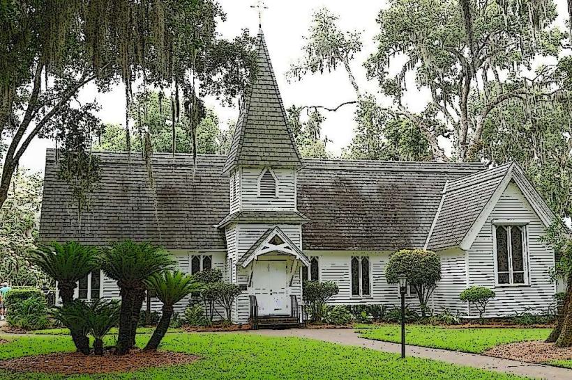
- Christ Church, Frederica (0.8km Southwest)
- Oglethorpe Memorial (1.2km South)
- Fort Frederica Golf Club (1.5km West)
- St. Simons Island Lighthouse Museum (8.5km Southeast)
- Village of St. Simons (9.0km Southeast)