Information
Landmark: Fort Kongenstein RuinsCity: Ada Foah
Country: Ghana
Continent: Africa
Fort Kongenstein Ruins, Ada Foah, Ghana, Africa
Fort Kongenstein is a former Danish colonial fortification located on a hill in Ada Foah, Ghana, near the meeting point of the Volta River and the Atlantic Ocean. The site consists of the physical remains of an 18th-century trading post and military defense structure within the Greater Accra Region.
Visual Characteristics
The ruins consist of weathered light-grey stone and crumbling red brick masonry partially reclaimed by coastal vegetation. The remaining structures include segments of the primary perimeter walls, arched doorways, and the foundations of the internal barracks and storage rooms. The site lacks a roof, exposing the inner courtyards to the elements, and the height of the standing walls varies between two and five meters.
Location & Access Logistics
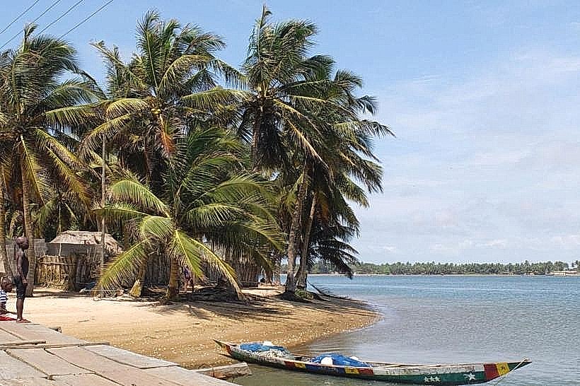
Access the site via the Accra-Aflao Road (N1), turning south at Kasseh onto the Ada Road for approximately 20km until reaching Ada Foah. The ruins are situated near the Ada Foah Clinic and are accessible by foot from the town center or via local "tro-tro" minibuses serving the Ada Foah station. Parking is available in unpaved clearings adjacent to the site, and boat transfers are available nearby for those arriving from the Maranatha Beach Camp side of the river.
Historical & Ecological Origin
The Danish government constructed Fort Kongenstein in 1783 under the direction of Governor Køge. It functioned primarily as a fortified warehouse for the trade of slaves, gold, and ivory before the Danish abolition of the slave trade and the eventual sale of Danish Gold Coast assets to the British in 1850.
Key Highlights & Activities
Visitors can conduct self-guided walks through the remaining chambers and the central courtyard to observe the original masonry techniques. Photography of the Atlantic coastline and the Volta River Estuary is possible from the elevated sections of the ruins. Local guides often provide verbal accounts of the site's role in the trans-Atlantic trade.
Infrastructure & Amenities
The site is largely undeveloped with no formal visitor center, restrooms, or sheltered seating. Cell phone signal for 4G/5G networks is consistent across the grounds due to its proximity to the Ada Foah township. Food vendors and small shops are located within a 500-meter walk in the surrounding village area.
Best Time to Visit
The optimal time for photography is between 07:00 and 09:00 or 16:00 and 18:00 to utilize lower sun angles and avoid midday heat. Visit during the dry season months of November to March to ensure unhindered access to the unpaved paths surrounding the ruins.
Facts & Legends
A significant portion of the original fort has been lost to coastal erosion, with local accounts suggesting that nearly half of the original structure now sits beneath the advancing shoreline. A local tip for visitors is to locate the rusted cannons occasionally visible in the sand near the base of the hill during periods of low tide.
Nearby Landmarks
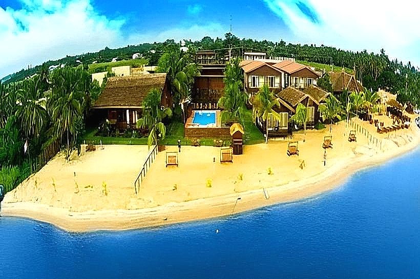
Ada Foah Beach – 0.6km South
Volta River Estuary – 1.2km East
Presbyterian Church of Ghana (Ada Foah) – 0.4km West
Maranatha Beach Camp – 1.5km East (via boat)