Information
Landmark: Fortress of MitrovicaCity: Mitrovica
Country: Kosovo
Continent: Europe
Fortress of Mitrovica, Mitrovica, Kosovo, Europe
The Fortress of Mitrovica, commonly known as the Zvečan Fortress (Kalaja e Zveçanit), is an ancient military fortification situated on the summit of an extinct volcanic cone. It is located approximately 4 kilometers northwest of the Mitrovica city center and remains one of the oldest and most strategically positioned castles in the Balkans.
Visual Characteristics
The fortress is characterized by a multi-layered defensive system following the natural contours of the steep, rocky hill. The structure is built from rough-hewn local stone and lime mortar. It consists of three main parts: the upper town at the peak, the lower town protected by peripheral walls, and the citadel. Massive circular and rectangular towers are integrated into the curtain walls, and the ruins of the Church of St. George are visible within the inner complex.
Location & Access Logistics
The site is located in the town of Zvečan, immediately adjacent to North Mitrovica. Access from the city center is via the R-129 road toward Zvečan. From Peja, the drive is approximately 85 kilometers via the M9 and M2 highways. A narrow, steep, and partially paved road leads from the base of the hill to a small parking area, followed by a 15-minute uphill trek on a rocky foot trail to reach the summit.
Historical & Ecological Origin
The fortress stands on a volcanic neck composed of andesite and dacite, rising 800 meters above sea level. Archaeological evidence suggests Illyrian and Roman precursors, but the current stone fortifications were largely developed by the Byzantine Empire and later expanded by the Serbian Nemanjic dynasty in the 12th century. It served as a critical vantage point overseeing the intersection of the Ibar, Sitnica, and Lushta rivers and the vital trade routes leading to the Trepça mines.
Key Highlights & Activities
The primary activity is the exploration of the medieval ruins and defensive walls. The summit offers a 360-degree panoramic view of the entire Mitrovica basin, the industrial Trepça smokestacks, and the Kopaonik mountain range. It is a frequent destination for hiking, historical research, and landscape photography.
Infrastructure & Amenities
The site is an unmanaged historical ruin; there are no restrooms, visitor centers, or on-site staff. There is no shade available on the summit. 5G and 4G cell phone signals are strong due to the elevation. Visitors must bring their own water and supplies from Zvečan or Mitrovica, where full commercial services are available within a 5-minute drive.
Best Time to Visit
The optimal time for photography is during the "golden hour" shortly before sunset, as the fortress provides an unobstructed view of the sun descending over the Rogozna mountains. Spring and autumn offer the most favorable hiking temperatures. Winter visits are hazardous due to ice on the steep rock trails.
Facts & Legends
Local tradition identifies the fortress as a site of significant medieval royal intrigue, including the imprisonment of King Stefan Dečanski in 1331. A unique geological feature is the presence of several deep, stone-lined cisterns designed to collect rainwater, allowing the garrison to withstand prolonged sieges despite the lack of a natural spring on the volcanic peak.
Nearby Landmarks
Ibar River – 1.5km South
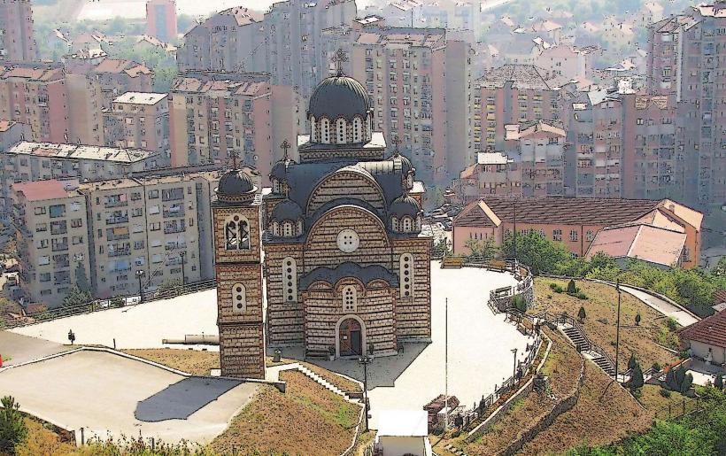
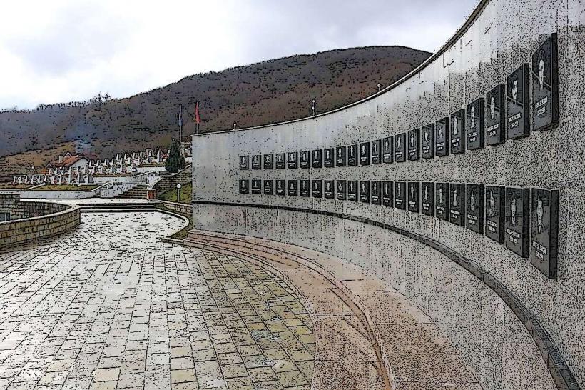
St. Demetrius Cathedral – 3.5km Southeast
Trepça Mine Complex – 3.0km East
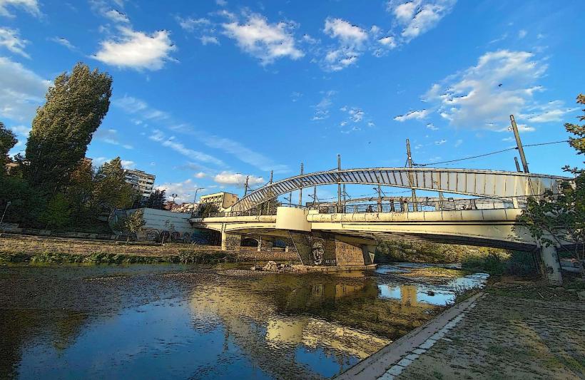
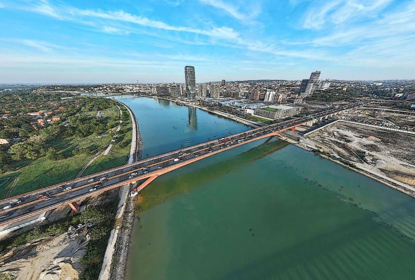
Mitrovica Bridge – 4.5km Southeast
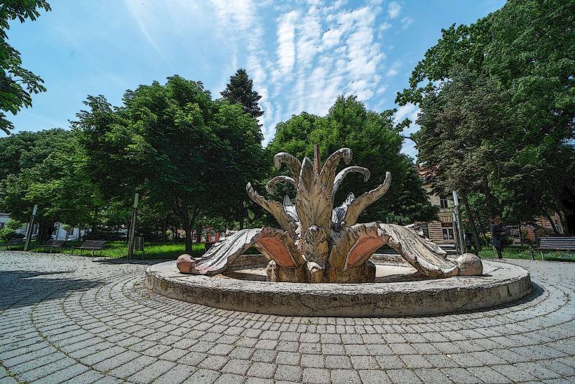
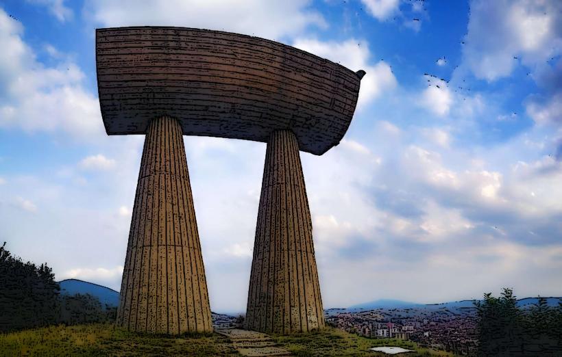
Stone Flower (Miners' Monument) – 3.2km Southeast