Information
Landmark: Ibar RiverCity: Mitrovica
Country: Kosovo
Continent: Europe
Ibar River, Mitrovica, Kosovo, Europe
The Ibar River (Albanian: Ibër) bisects the city of Mitrovica in northern Kosovo, serving as a significant geographical and political boundary. It is a non-navigable waterway belonging to the Black Sea drainage basin.
Visual Characteristics
The river in the Mitrovica sector is approximately 20–25 meters wide with a predominantly rocky and silted bed. The water often exhibits a brownish or dark green hue due to upstream industrial runoff and high sediment levels. The riverbanks are characterized by concrete embankments in the urban center, transitioning into overgrown vegetation and alluvial soil on the outskirts. The northern bank is dominated by residential and industrial structures, while the southern bank features more modernized commercial developments and parklands.
Location & Access Logistics
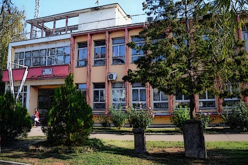
The river flows through the center of Mitrovica, located 40 kilometers north of Pristina.
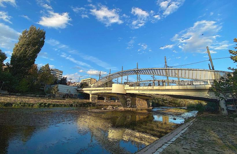
The Mitrovica Bridge: The primary crossing point is the New Bridge (Austerlitz Bridge), which connects the southern (Albanian-majority) and northern (Serb-majority) sectors.
Access: The riverfront is accessible via the M-2 highway. While the bridge is open to pedestrians, it remains closed to general vehicle traffic due to long-standing political disputes and the presence of KFOR (NATO) checkpoints.
Public Transit: Regular bus services from Pristina stop at the southern terminal, a 10-minute walk from the river.
Historical & Ecological Origin
The Ibar originates in the Hajla mountain in Montenegro and flows for 272 kilometers. In Mitrovica, it marks the confluence with the Sitnica River. Historically, the river was the lifeblood of the Trepča mining complex, providing water for lead and zinc smelting operations. Ecologically, the river is severely impacted by heavy metal pollution and untreated municipal waste, making it one of the most chemically stressed waterways in the region.
Key Highlights & Activities
Political Landmark Observation: The New Bridge is a primary site for visitors interested in the region's contemporary history.
Walking: The southern riverbank features a paved promenade with lighting and benches, used extensively by locals for recreation.
Aqua Park Mitrovica: A modern water park located on the southern bank of the river, providing recreational swimming facilities.
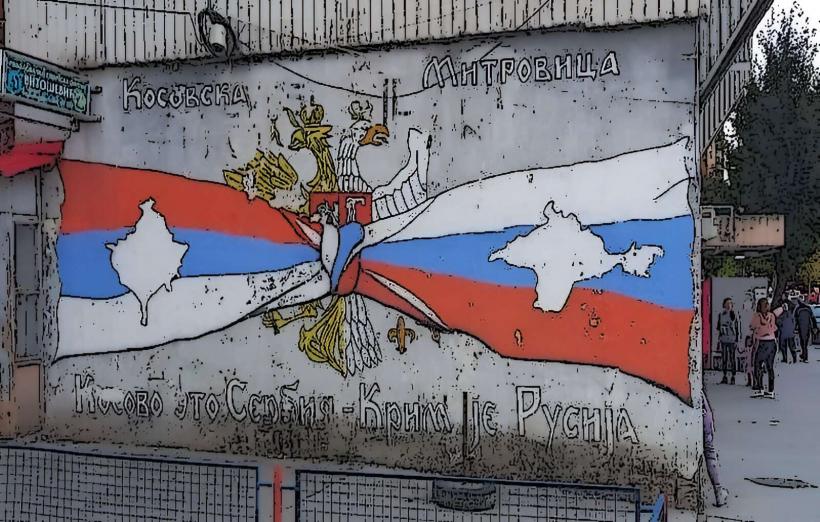
Photography: The contrast between the flags, monuments, and architectural styles on either side of the river is a frequent subject for photojournalists.
Infrastructure & Amenities
The southern bank is well-developed with numerous cafes, restaurants, and shopping centers. The northern bank has more localized amenities and small shops. 4G/5G mobile signals are strong, though network handover between Kosovo and Serbian operators occurs frequently near the river.
Best Time to Visit
Daylight hours are recommended for neutral observation. The river is most visually striking in spring during the snowmelt from the mountains, which increases the flow rate. Winter visits can be difficult due to heavy fog and coal-smoke air pollution in the valley.
Facts & Legends
The Ibar River Bridge is often referred to as the "Divided Bridge" and has been the site of over 1,000 recorded ethnic clashes since 1999. A specific technical fact: the river's flow is heavily regulated by the Gazivoda Dam upstream, which controls the water supply for almost all of Kosovo's heavy industry and energy production.
Nearby Landmarks
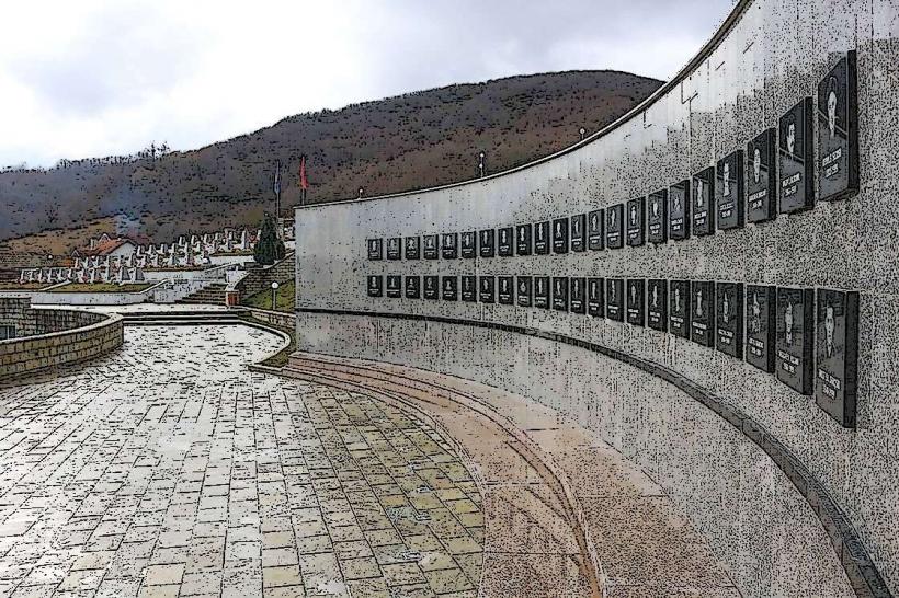
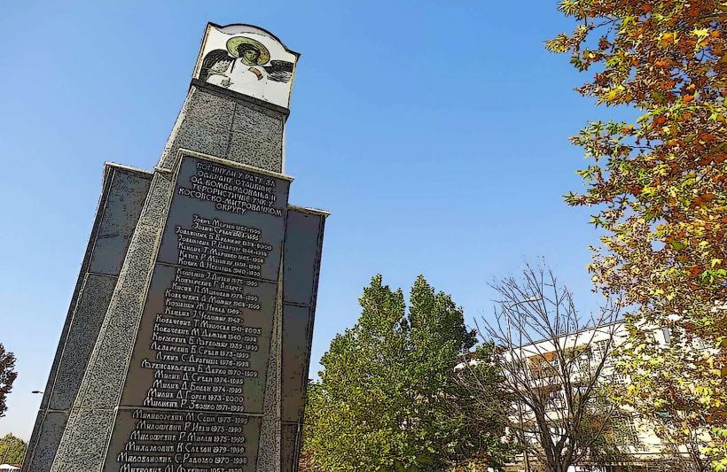
Miners' Monument: 1.5km North (on the hill overlooking the river)
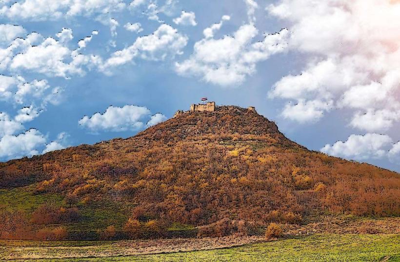
Zvečan Fortress: 4km North
Gazivoda Lake: 25km West
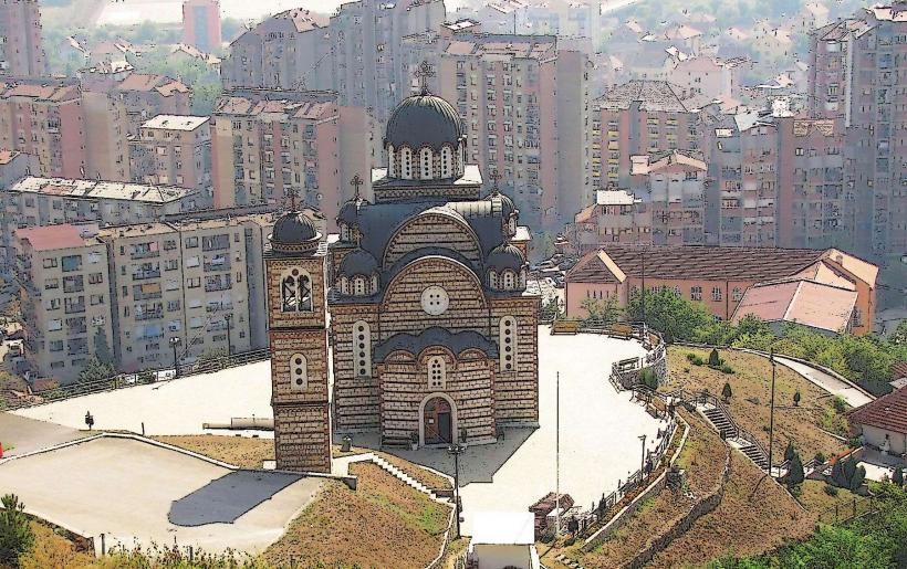
Sveti Dimitrije Church: 1.2km North-West
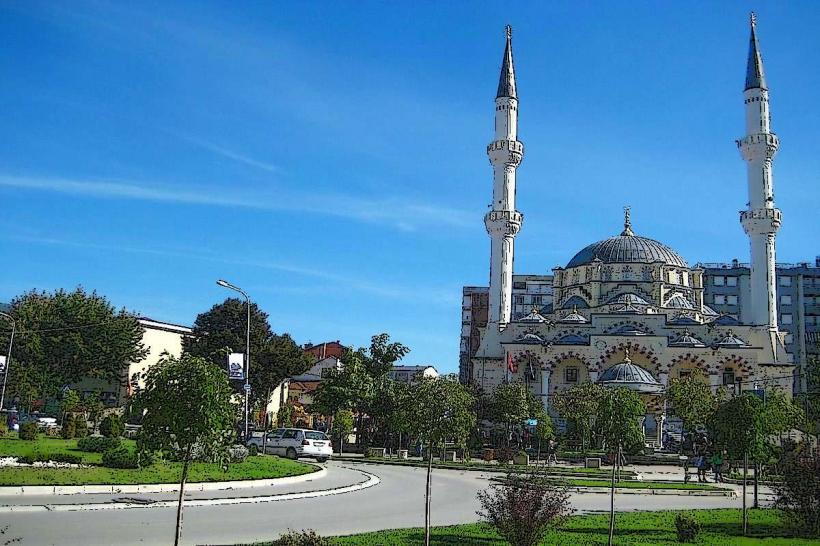
Bayrakli Mosque: 0.8km South