Information
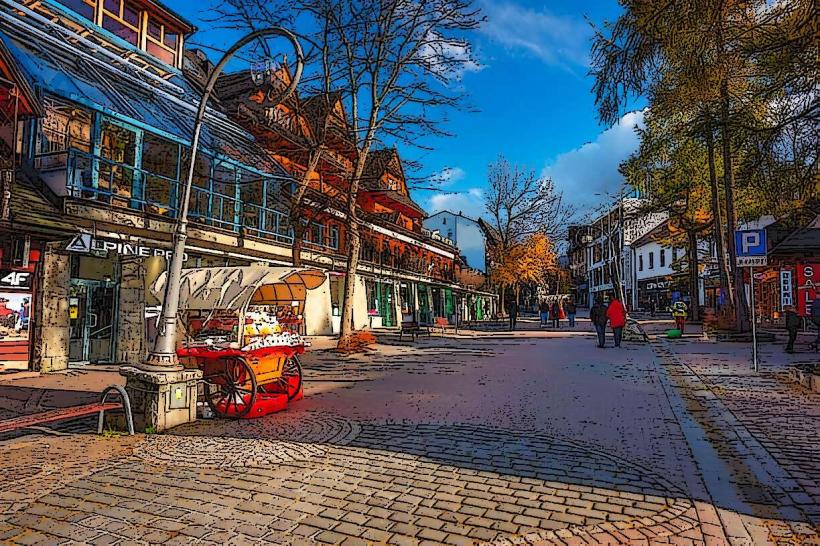
Landmark: GiewontCity: Zakopane
Country: Poland
Continent: Europe
Giewont, Zakopane, Poland, Europe
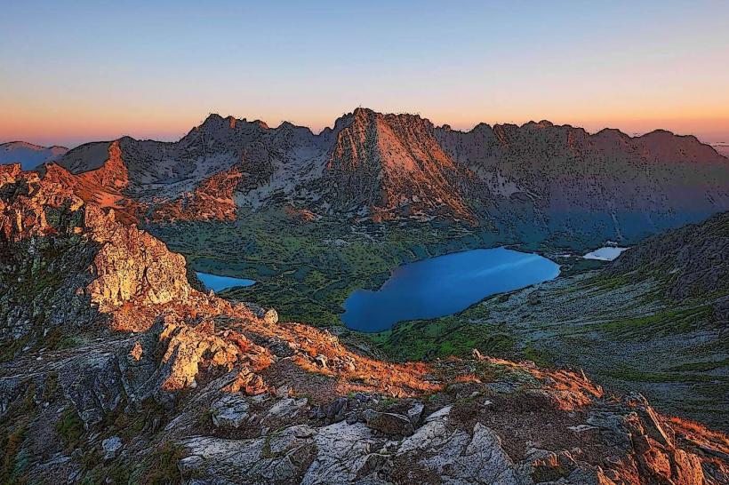
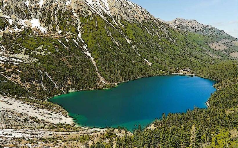
Giewont (1,894 m) is the most recognizable mountain in the Polish Tatras, looming directly over the town of Zakopane. It is famous for its profile, which resembles a "Sleeping Knight," and the 15-meter iron cross at its summit.
Visual Characteristics
The mountain consists of three main parts: Wielki Giewont (Great Giewont, the highest point), Mały Giewont (Small Giewont), and Długi Giewont (Long Giewont). From Zakopane, the silhouette appears as a knight lying on his back, with the Great Giewont forming the head and the Long Giewont forming the body.
Logistics & Access
Main Trailheads:
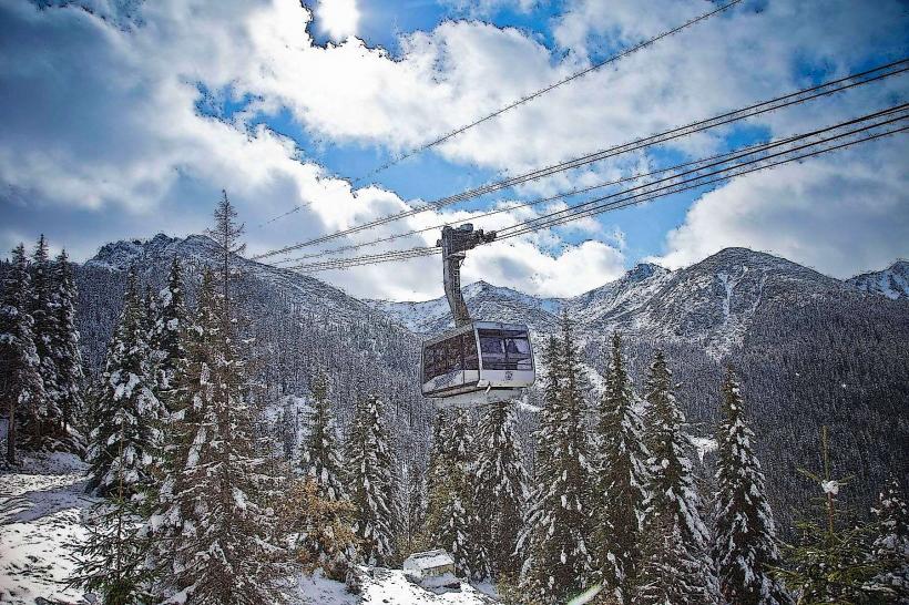
Blue Trail from Kuźnice: The most popular route, passing the Kalatówki glade and the Kondratowa mountain hut (approx. 3–3.5 hours up).
Red Trail from Dolina Strążyska: A steeper, more scenic ascent passing the Siklawica waterfall (approx. 3.5–4 hours up).
The Summit Section: The final approach to the cross is a one-way circular route secured with steel chains. It involves basic scrambling and can be slippery.
Entry Fee: As part of the Tatra National Park (TPN), an entry ticket is required.
The Summit Cross
Height: 15 meters (plus 2.5 meters embedded in the rock).
History: Erected in 1901 by parishioners from Zakopane to commemorate the 1900th anniversary of the birth of Jesus Christ. It was carried up in sections by local highlanders.
Safety Warning: The iron cross acts as a massive lightning rod. Giewont is the most dangerous place in the Tatras during a thunderstorm. Hikers must descend immediately at the first sign of dark clouds or a drop in temperature.
Key Highlights
Panoramic Views: The summit offers a vertical drop-off view directly down onto Zakopane and a sweeping view of the High Tatras to the south.
Schronisko na Hali Kondratowej: The smallest mountain hut in the Polish Tatras, located on the blue trail, serving as a primary rest stop for hikers.
Infrastructure & Amenities
Accessibility: Not accessible for strollers or wheelchairs. The final chain section requires decent physical fitness and a lack of vertigo.
Connectivity: 5G/LTE signal is strong at the summit due to the line-of-sight to the town below.
Facilities: There are no toilets or shops at the summit; the last facilities are at the Kondratowa hut.
Best Time to Visit
Early Morning: To avoid the "traffic jams" that frequently occur at the chains on the final ascent during peak summer months.
September/October: For stable weather and maximum visibility.
Winter: Requires full mountaineering equipment (crampons, ice axe) and avalanche awareness, as the slopes of Giewont are high-risk areas.
Facts & Legends
The most famous legend claims that the "Sleeping Knight" will wake up and come to the defense of Poland when the country is in great peril. Another legend says that the mountain's caves contain hidden treasures guarded by ancient spirits.
Nearby Landmarks
Kuźnice: 4.5 km (Starting point for blue trail)
Strążyska Valley: 5.0 km (Starting point for red trail)
Sarnia Skała: A lower peak nearby (1,377 m) offering the best view of Giewont's north face.