Information
Landmark: Grande Rivière du SudCity: Cayes Jacmel
Country: Haiti
Continent: North America
Grande Rivière du Sud, Cayes Jacmel, Haiti, North America
Grande Rivière du Sud is a river located in the vicinity of Cayes Jacmel, Haiti. It flows into the Caribbean Sea.
Visual Characteristics
The river's water color varies from brown to grey depending on recent rainfall and sediment load. The banks are characterized by dense tropical vegetation, including palm trees and various shrubs. The riverbed consists of sand and gravel.
Location & Access Logistics
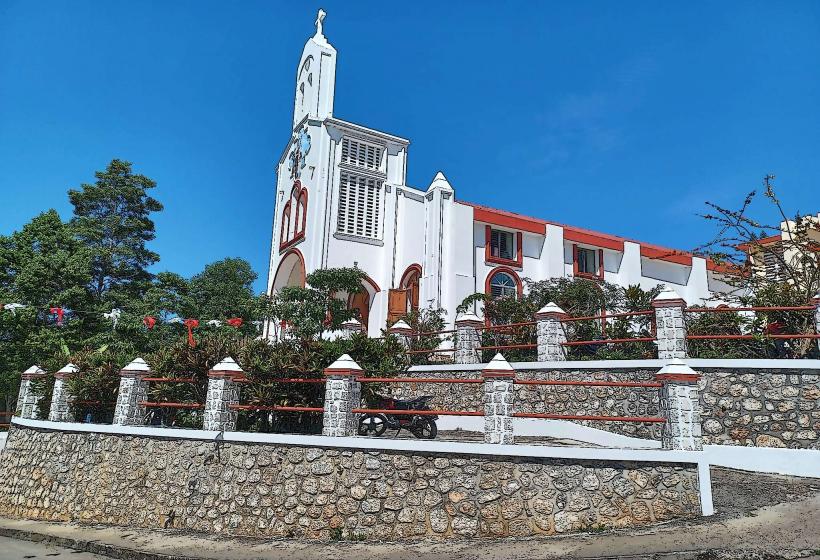
Grande Rivière du Sud is situated approximately 10 kilometers east of Jacmel. Access is primarily via Route Nationale 2 (RN2) heading east from Jacmel. Turn south onto an unpaved road approximately 5 kilometers past the town of Marigot. This unpaved road leads directly to the river mouth. Parking is available on the sandy area near the river mouth, though it is informal and unmanaged. Public transport to the area is limited; local tap-taps (shared taxis) operate between Jacmel and Marigot, requiring a transfer to reach the river.
Historical & Ecological Origin
Grande Rivière du Sud is a natural river system formed by rainfall runoff from the Massif de la Selle mountain range. Its ecological origin is that of a coastal river draining a tropical watershed. Historically, it has served as a natural boundary and a source of freshwater for local communities.
Key Highlights & Activities
Observation of the river's confluence with the Caribbean Sea is a primary activity. Swimming is possible in calmer sections away from the main current. Local fishermen often operate in the area, providing opportunities to observe traditional fishing methods.
Infrastructure & Amenities
There are no formal restrooms or shade structures directly at the river mouth. Cell phone signal (2G/3G) is generally available but can be intermittent. No food vendors are permanently stationed at this location; visitors should bring their own provisions.
Best Time to Visit
The best time of day for visual observation is during the morning or late afternoon when the sun angle provides softer light. The dry season, from December to March, offers lower water levels and less sediment. During the rainy season (April to November), the river can become swollen and its color significantly darker.
Facts & Legends
Local folklore suggests that the river's currents can change unpredictably, and some believe it is influenced by spirits of the sea. A specific tip for visitors is to be aware of the tide, as the river mouth can be significantly affected by incoming waves, altering the accessible shoreline.
Nearby Landmarks
- Marigot (Town Center) - 5km West
- Bassin Bleu - 8km Northwest
- Pic La Selle (Massif de la Selle) - 25km North
- Jacmel (City Center) - 10km West