Information
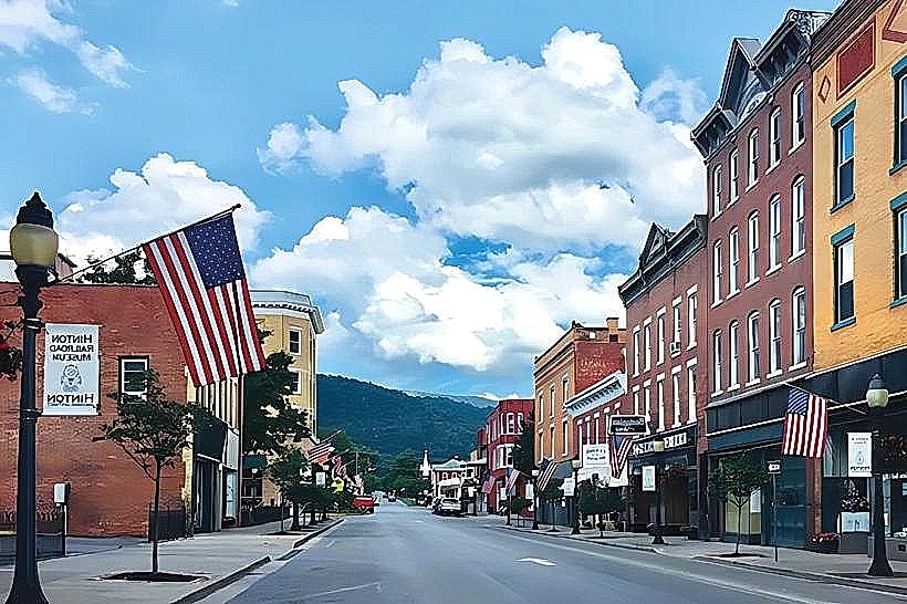
Landmark: Greenbrier River Trail AccessCity: Hinton
Country: USA West Virginia
Continent: North America
Greenbrier River Trail Access, Hinton, USA West Virginia, North America
The Greenbrier River Trail Access in Hinton, West Virginia, provides entry to a 77-mile multi-use trail constructed on a former railroad bed. This access point is situated in the city of Hinton.
Visual Characteristics
The access point itself is a paved area adjacent to the Greenbrier River. Trail markers are typically metal posts with directional signage. The surrounding vegetation consists of deciduous trees and riverbank flora. The river's color varies based on recent rainfall and sediment load, generally appearing brown to grey.
Location & Access Logistics
The primary access point is located at the southern terminus of the Greenbrier River Trail, in Hinton, West Virginia. From downtown Hinton, take US Route 20 West (also known as Court Street) for approximately 0.5 kilometers. Turn left onto River Avenue. The access point and parking area are located at the end of River Avenue. Parking is available in a designated gravel lot. Public transport options directly to this specific access point are limited; visitors typically arrive by private vehicle.
Historical & Ecological Origin
The Greenbrier River Trail follows the path of the former Chesapeake & Ohio Railway's Greenbrier Division. The railway line was constructed in the late 19th and early 20th centuries to transport coal and timber. The trail was established after the railway ceased operations, with the conversion to a recreational trail completed in the late 20th century. The Greenbrier River is a tributary of the New River, part of the Kanawha River watershed.
Key Highlights & Activities
Activities include hiking, biking, and horseback riding along the trail. The trail is relatively flat with a gentle grade, suitable for various skill levels. Fishing is permitted in the Greenbrier River. Birdwatching is also a common activity due to the riparian environment.
Infrastructure & Amenities
Restrooms are available at the Hinton trailhead. Shade is provided by the surrounding trees. Cell phone signal (4G/5G) is generally available in Hinton but can be intermittent along the trail itself. No food vendors are located directly at this access point; visitors should plan to bring their own provisions or utilize services in Hinton.
Best Time to Visit
For hiking and biking, the months of April through October offer the most favorable weather. Spring (April-May) provides blooming vegetation. Autumn (September-October) offers fall foliage. Mid-day lighting can be harsh for photography; early morning or late afternoon provides softer light. No specific tide requirements apply as this is a river trail.
Facts & Legends
The Greenbrier River is one of the longest free-flowing rivers east of the Mississippi River. A local historical note is that the railway line was instrumental in the development of Hinton as a railroad town.
Nearby Landmarks
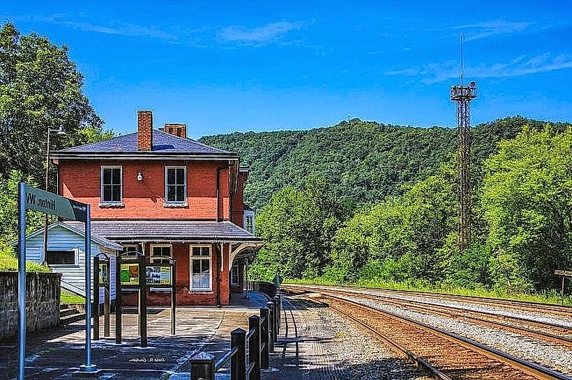
- Chesapeake & Ohio Railway Heritage Center (0.8km Northeast)
- Hinton Historic District (1.2km Northeast)
- Bluestone State Park (25km Southwest)
- Pipestem Resort State Park (30km Southwest)