Information
Landmark: Half Moon BayCity: Roatan
Country: Honduras
Continent: North America
Half Moon Bay, Roatan, Honduras, North America
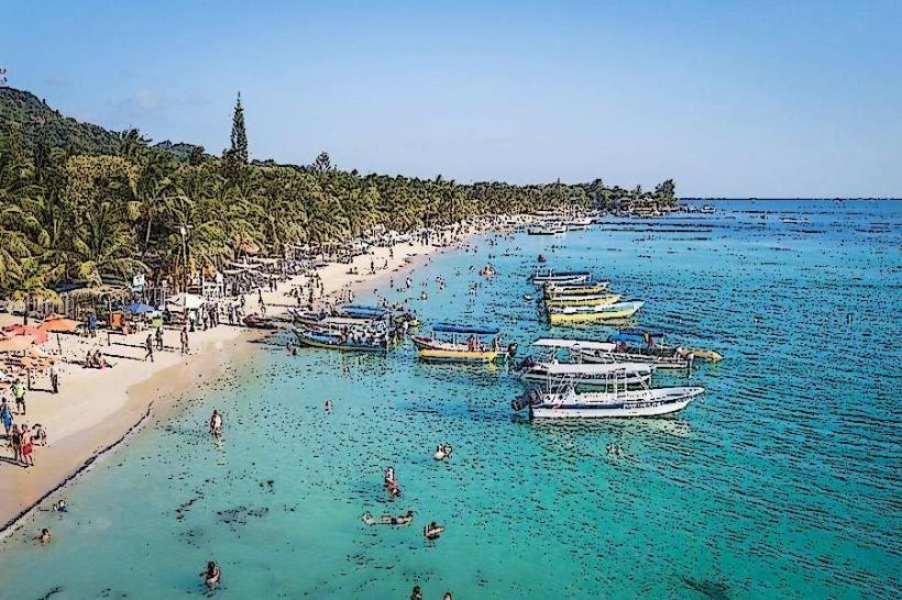
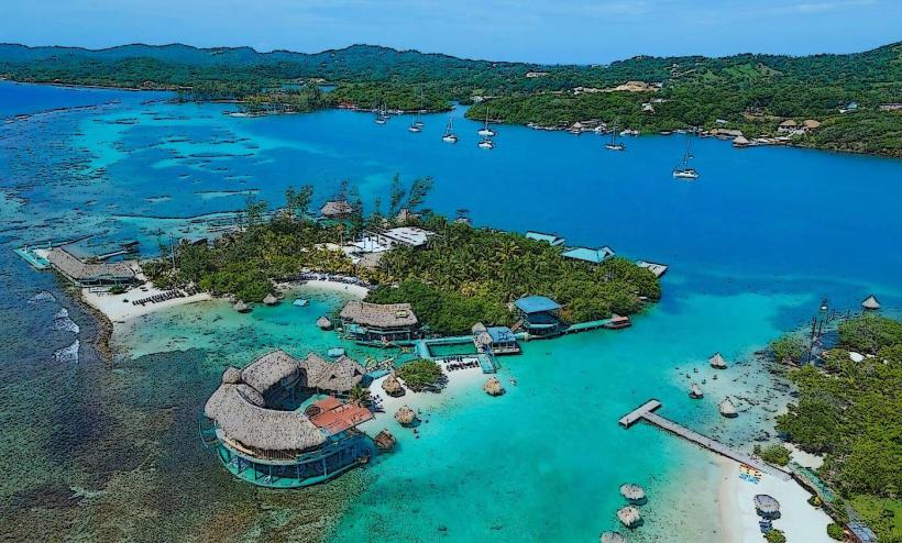
Half Moon Bay is a coastal inlet located on the north shore of Roatan Island, Honduras. It is characterized by its crescent shape and shallow, clear waters.
Visual Characteristics
The bay features a sandy seabed with depths ranging from 0.5 meters to 5 meters. The water color is consistently turquoise. The shoreline is lined with coconut palms and low-lying coastal vegetation. The beach consists of fine, light-colored sand.
Location & Access Logistics
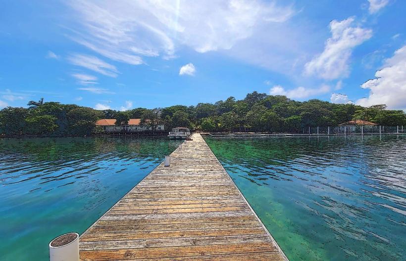
Half Moon Bay is situated approximately 10 kilometers east of Coxen Hole, the main settlement on Roatan. Access is via the main island road, Highway 1. Turn north onto the unpaved access road approximately 0.5 kilometers past the town of West End. Parking is available at a small, informal lot adjacent to the beach, typically costing $2 USD per vehicle. Public transportation is limited; local taxis or private car hire are the primary options. No direct bus routes serve the bay.
Historical & Ecological Origin
The bay is a natural coastal feature formed by sedimentation and wave action over millennia. Ecologically, it is part of the Mesoamerican Barrier Reef System, supporting a diverse marine environment.
Key Highlights & Activities
Snorkeling is possible directly from the beach. The reef is approximately 50 meters offshore. Kayak rentals are available from vendors on the beach. Swimming is permitted in designated areas. Observation of marine life, including various reef fish and occasional sea turtles, is a primary activity.
Infrastructure & Amenities
Restrooms are available at a small beach bar. Limited shade is provided by palm trees and a few thatched umbrellas. Cell phone signal (4G) is generally available. Food and beverages are sold at the beach bar.
Best Time to Visit
For optimal lighting for photography, visit between 10:00 AM and 2:00 PM. The dry season, from December to May, offers the most consistent weather. High tide is generally preferred for snorkeling to ensure adequate water depth over the reef.
Facts & Legends
Local lore suggests that pirates used the bay as a sheltered anchorage during the 17th century, though no definitive archaeological evidence supports this claim. The bay's name is derived from its distinctive curved shape.
Nearby Landmarks
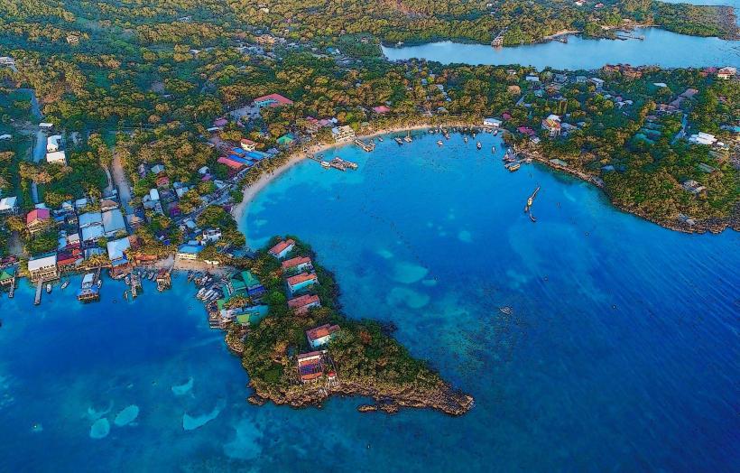
- West End (1.5km West)
- Tabyana Beach (2.0km East)
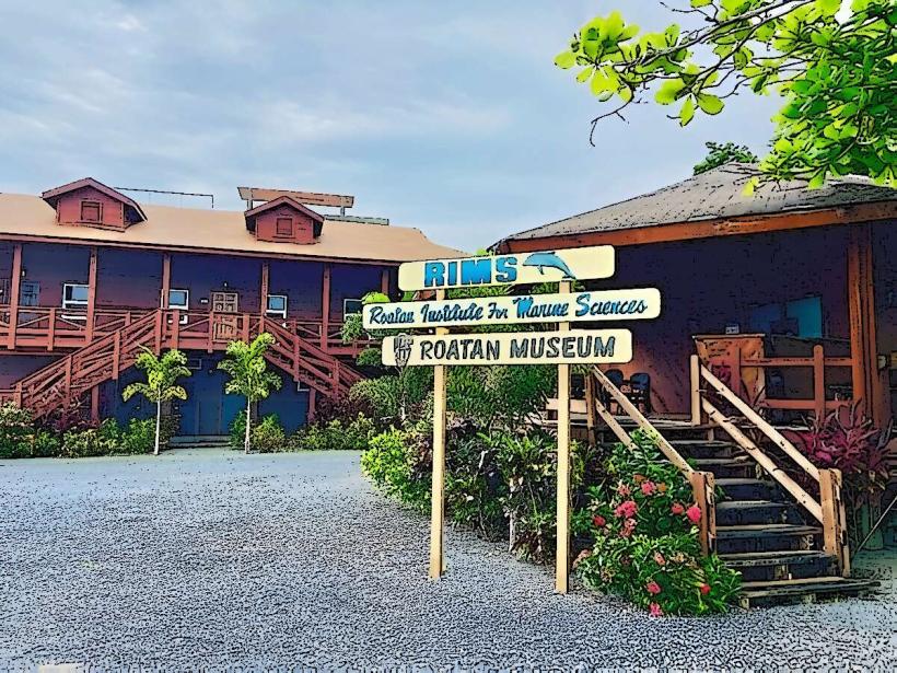
- Roatan Institute of Marine Sciences (2.5km West)
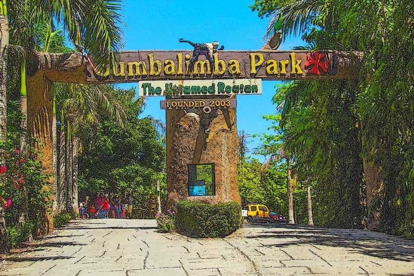
- Gumbalimba Park (3.0km East)