Information
Landmark: High RockCity: Freeport
Country: Bahamas
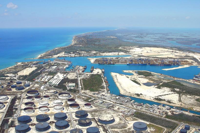
Continent: North America
High Rock, Freeport, Bahamas, North America
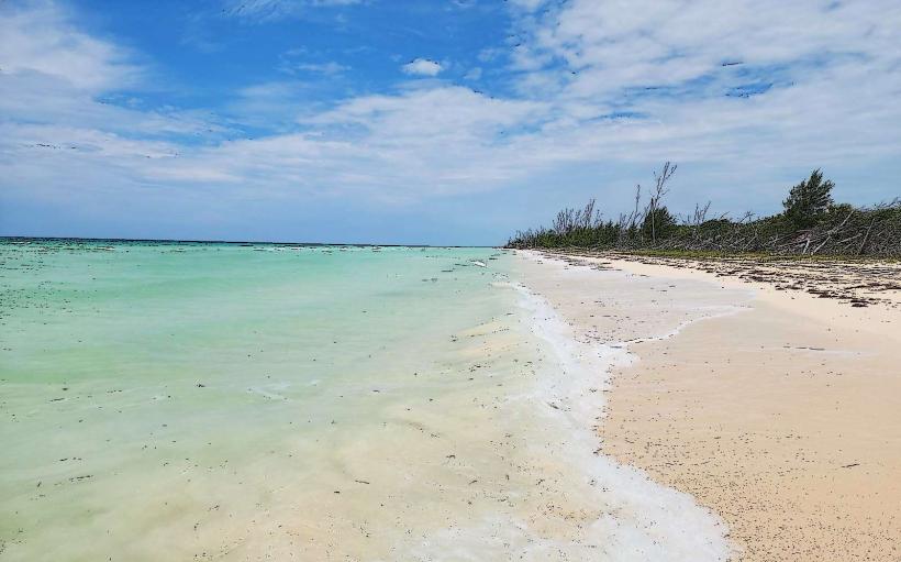
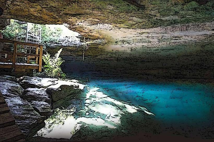
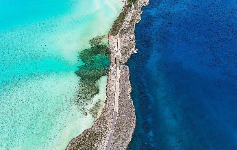
High Rock is a geological formation located on the western tip of Grand Bahama Island, Bahamas.
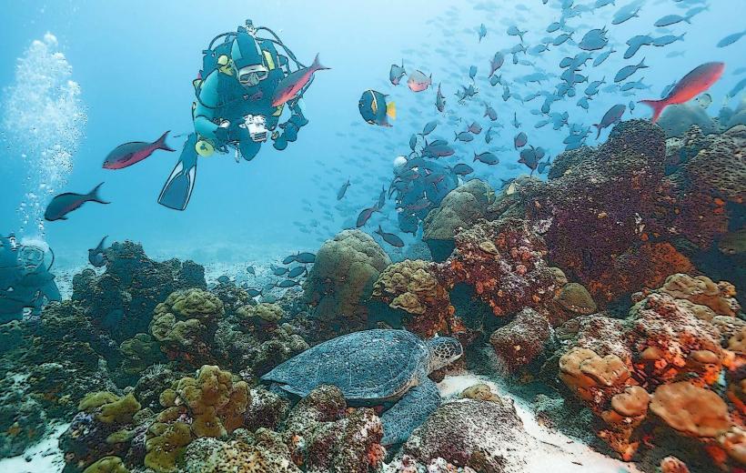
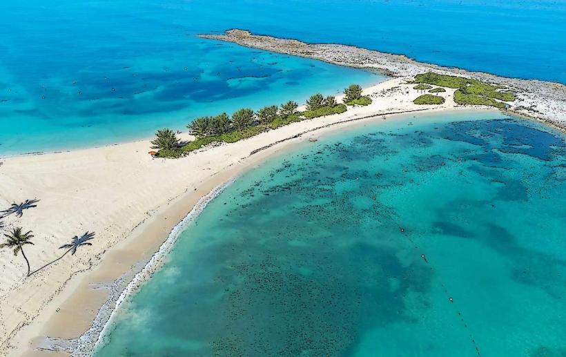
This site comprises a series of limestone outcrops and shallow tidal pools.
Visual Characteristics
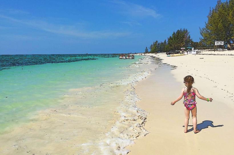
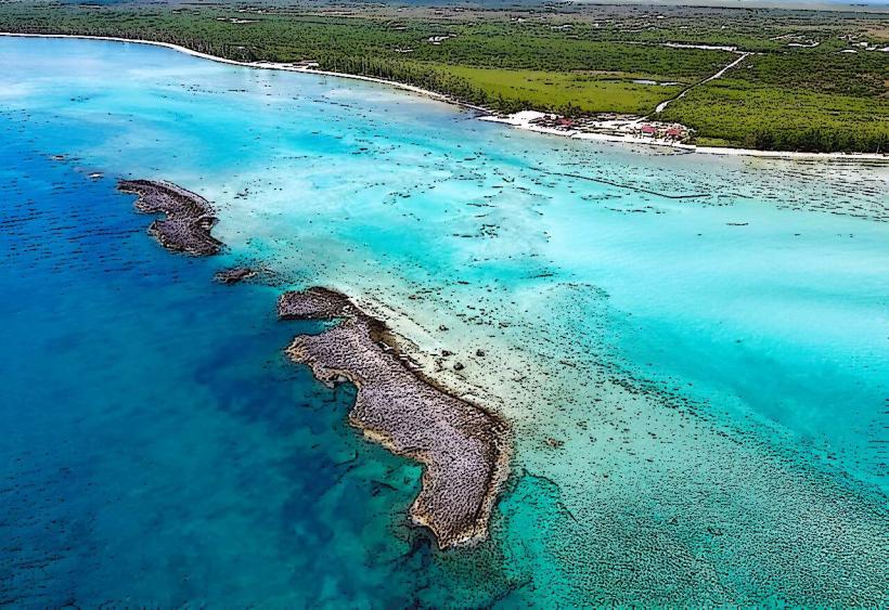
The rock formations are composed of porous, light-colored limestone, exhibiting a rough, eroded texture. The area is characterized by low-lying scrub vegetation, primarily sea grape and various salt-tolerant grasses. The surrounding water is shallow and typically clear, with a light turquoise hue.
Location & Access Logistics
High Rock is situated approximately 40 kilometers west of Freeport. Access is via Queens Highway, turning south onto Barbary Beach Road. The final approach involves a dirt track, passable by most standard vehicles. Parking is available on the unpaved area adjacent to the rock formations. No public transport services operate directly to High Rock.
Historical & Ecological Origin
High Rock is a natural limestone formation, shaped by millennia of wave action and aeolian processes. It represents a coastal depositional environment characteristic of the Bahamian archipelago.
Key Highlights & Activities
Observation of tidal pool ecosystems is possible. Beachcombing along the shoreline is permitted. Photography of the rock formations is a common activity.
Infrastructure & Amenities
No public restrooms or shade structures are present at High Rock. Cell phone signal (4G/5G) is generally weak to non-existent. No food vendors are located at this site.
Best Time to Visit
For photography, the early morning and late afternoon offer optimal lighting conditions due to the angle of the sun. The dry season, from December to May, provides the most stable weather. Low tide is preferable for exploring the tidal pools.
Facts & Legends
Local folklore suggests that the name "High Rock" originated from a prominent, now eroded, pinnacle that once stood taller than the surrounding formations. This feature was reportedly used as a navigational marker by early mariners.
Nearby Landmarks
- Lucayan National Park (15km East)
- Gold Rock Beach (18km East)
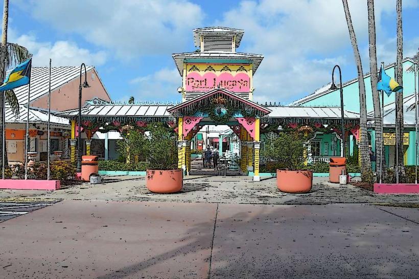
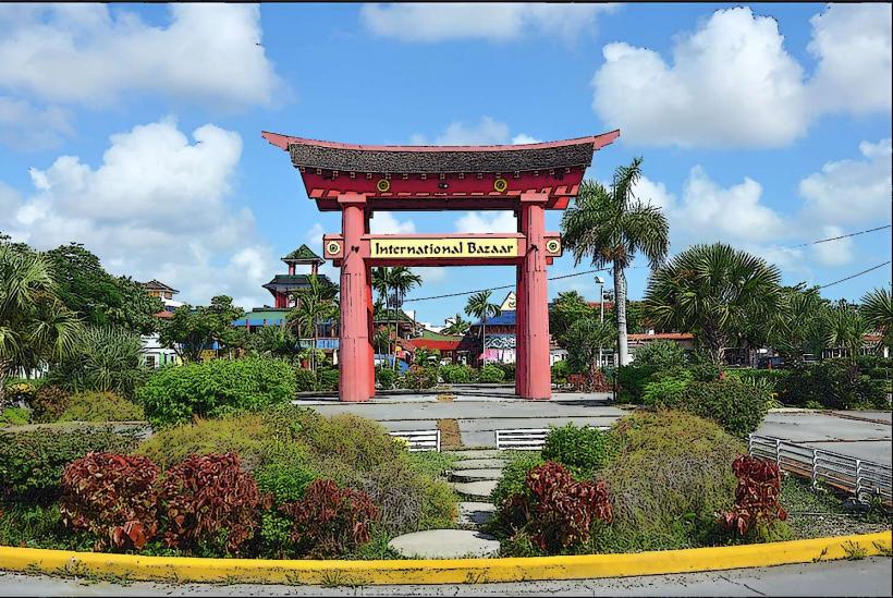
- Port Lucaya Marketplace (38km East)
- Freeport City Center (40km East)