Information
Landmark: Independence PassCity: Aspen
Country: USA Colorado
Continent: North America
Independence Pass, Aspen, USA Colorado, North America
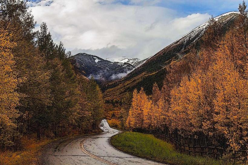
Independence Pass is a mountain pass located in the Sawatch Range of the Rocky Mountains in Colorado, USA. It is situated between the towns of Aspen and Twin Lakes.
Visual Characteristics
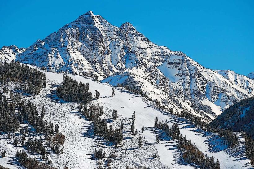
The pass reaches an elevation of 12,095 feet (3,687 meters). The terrain consists of steep, rocky slopes with alpine tundra vegetation at higher elevations. Exposed rock faces and scree fields are common. Ponderosa pine and spruce trees dominate the lower slopes. The road itself is paved asphalt.
Location & Access Logistics
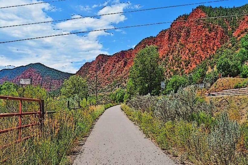
Independence Pass is accessible via State Highway 82. It is approximately 21 miles (34 kilometers) east of Aspen and 15 miles (24 kilometers) west of Twin Lakes. The drive from Aspen takes approximately 45 minutes to 1 hour, depending on traffic and road conditions. Parking is available at designated pull-offs and at the summit area, though it can be limited during peak season. There are no public transport services directly to the pass summit. The highway is typically closed from November to late May due to snow.
Historical & Ecological Origin
The pass was historically used by Native American tribes and later by prospectors and settlers. The current road was largely constructed in the early 20th century, with significant improvements made over time. Ecologically, it represents a transition zone between montane and alpine ecosystems, supporting specialized flora and fauna adapted to high-altitude, cold environments.
Key Highlights & Activities
Hiking trails are available, including the popular John Denver Memorial Trail. Photography opportunities exist at various viewpoints along the highway. Visitors can observe alpine wildflowers in summer. The summit area offers panoramic views of the surrounding mountain ranges.
Infrastructure & Amenities
Restrooms are available at the summit parking area. Limited shade is present in the forested areas below the treeline. Cell phone signal is intermittent to non-existent at higher elevations. No food vendors are present at the pass; visitors should bring their own provisions.
Best Time to Visit
The pass is generally open from late May/early June through October. For photography, early morning or late afternoon light provides optimal conditions. The months of July and August offer the warmest weather and the most accessible hiking conditions. There are no tide considerations.
Facts & Legends
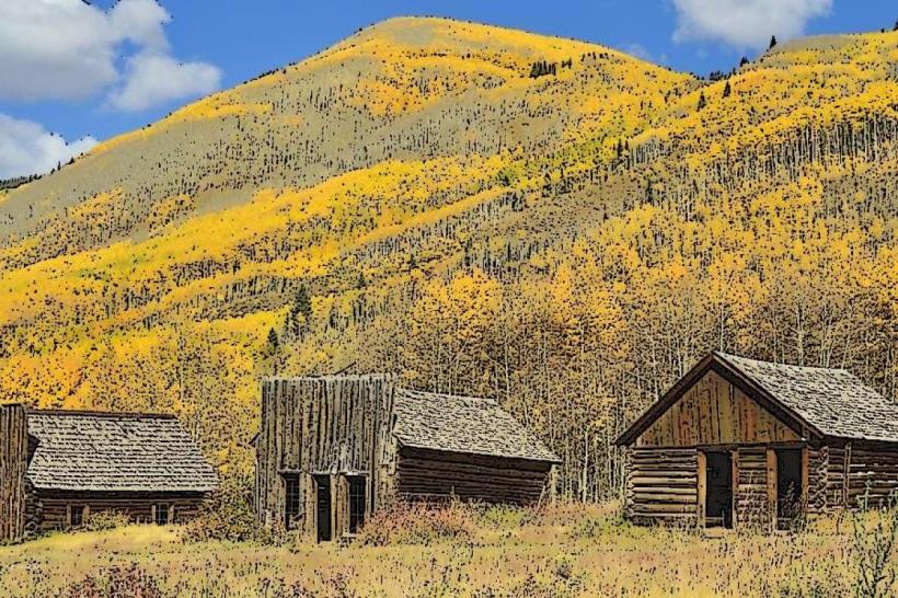
The pass is named after the nearby ghost town of Independence, which was a mining settlement. A unique geological feature is the Continental Divide, which runs across the pass, separating drainages that flow to the Pacific Ocean and the Gulf of Mexico.
Nearby Landmarks
- 0.5km West: John Denver Memorial
- 5km West: Ashcroft Ghost Town
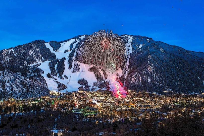
- 15km West: Aspen, Colorado
- 24km East: Twin Lakes, Colorado
- 30km East: Turquoise Lake