Information
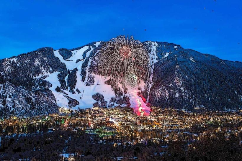
Landmark: Rio Grande TrailCity: Aspen
Country: USA Colorado
Continent: North America
Rio Grande Trail, Aspen, USA Colorado, North America
The Rio Grande Trail is a multi-use recreational path extending from Aspen, Colorado, southwards along the Roaring Fork River.
It provides access to natural landscapes and recreational opportunities within the Roaring Fork Valley.
Visual Characteristics
The trail is primarily a paved asphalt surface, averaging 3 meters in width. It follows the natural contours of the Roaring Fork River valley, with sections bordered by riparian vegetation, including cottonwood trees and willows. Open meadows and steeper, forested hillsides are visible from various points along the path. The river itself exhibits clear, fast-flowing water, with exposed gravel bars and rock formations.
Location & Access Logistics
The Rio Grande Trail begins at the eastern edge of Aspen, Colorado, at the intersection of Cemetery Lane and the Rio Grande Trailhead. It extends approximately 42 miles southwest towards Glenwood Springs. Access points are numerous, with designated trailheads and parking areas located in Aspen, Snowmass Village, Basalt, and Carbondale. Public transportation is available via the Roaring Fork Transportation Authority (RFTA) buses, which service multiple towns along the trail corridor, with stops near several access points. Bicycle rentals are available in Aspen and other communities along the route.
Historical & Ecological Origin
The trail is built on the former Denver and Rio Grande Western Railroad corridor, which operated from the late 19th century until the 1960s. The railroad was instrumental in transporting ore and passengers through the valley. The current trail conversion began in the late 20th century, preserving the historic rail bed for recreational use. Ecologically, the trail traverses a montane riparian zone, supporting diverse plant and animal life associated with the Roaring Fork River ecosystem.
Key Highlights & Activities
Activities include cycling, running, walking, and cross-country skiing in winter. Birdwatching is common due to the riparian habitat. Fishing is permitted in designated sections of the Roaring Fork River. The trail connects to numerous side trails leading into the surrounding White River National Forest for hiking and mountain biking. Specific points of interest include the historic bridges and the scenic river overlooks.
Infrastructure & Amenities
Restrooms are available at major trailheads and in adjacent towns. Shade is provided by mature trees in certain sections. Cell phone signal (4G/5G) is generally available in populated areas and along the trail corridor, but can be intermittent in more remote stretches. Food vendors and restaurants are located in the towns of Aspen, Snowmass Village, Basalt, and Carbondale, which are accessible from various trail points.
Best Time to Visit
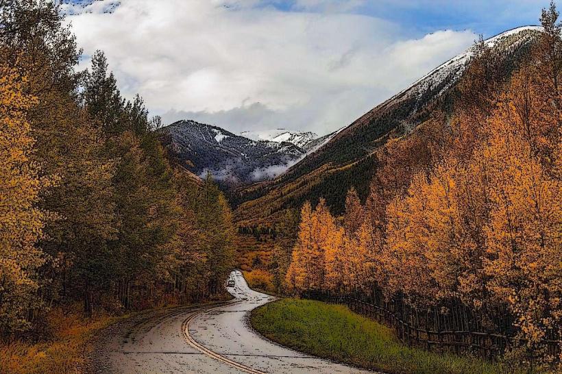
The trail is accessible year-round. For cycling and walking, late spring (May-June) and early autumn (September-October) offer moderate temperatures and clear skies. Summer (July-August) can be warm, with afternoon thunderstorms possible. Winter offers opportunities for cross-country skiing and snowshoeing, with trail conditions varying based on snowfall. Lighting for photography is optimal during the early morning and late afternoon hours, particularly in the autumn when foliage changes color.
Facts & Legends
A specific historical oddity is the preservation of several original railroad mile markers along the trail. Local lore sometimes refers to the Roaring Fork River as having a "spirit" that influences its flow, a concept tied to the valley's early mining and logging history.
Nearby Landmarks
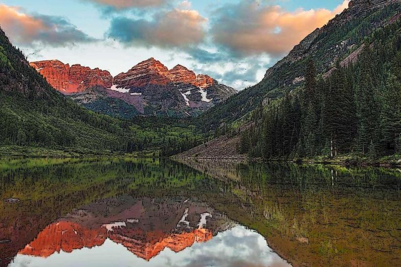
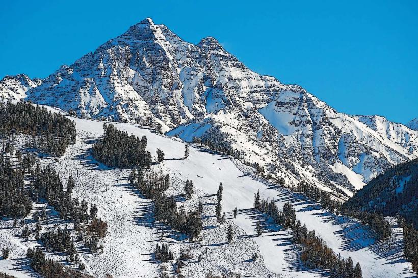
- Maroon Bells Scenic Area (10km Southwest)
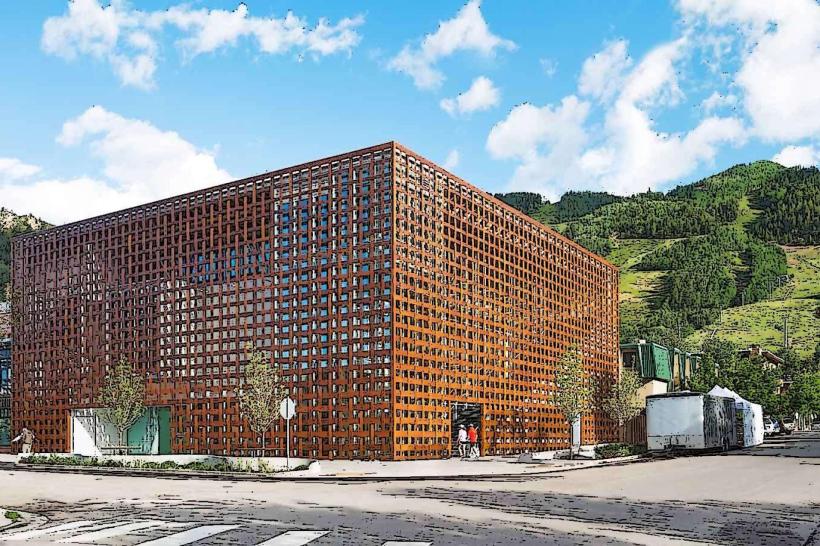
- Aspen Art Museum (1km West)
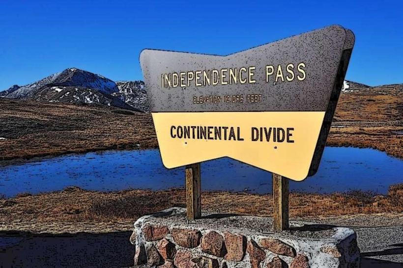
- Independence Pass (20km East)
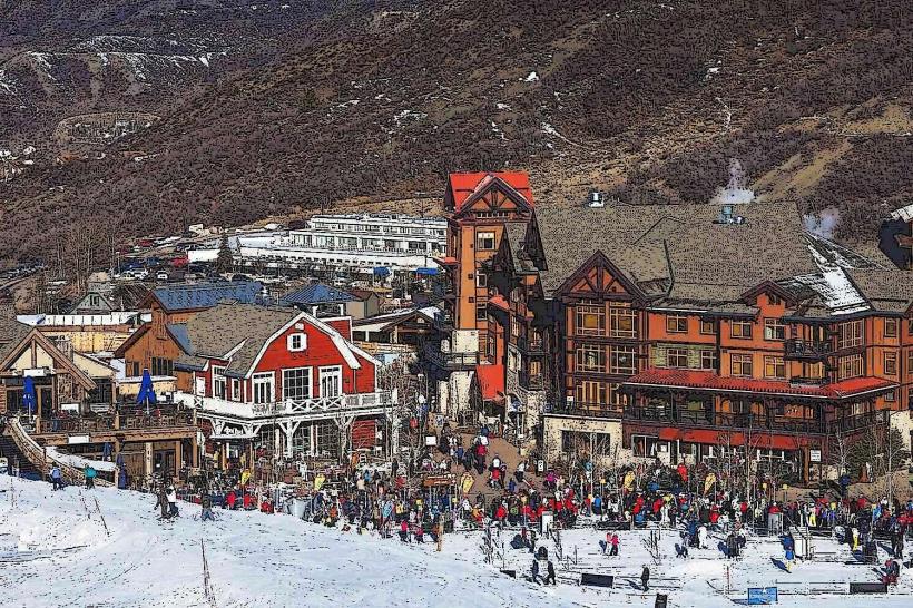
- Snowmass Village (15km Southwest)
- Glenwood Hot Springs Pool (40km Southwest)