Information
Landmark: Islets of GranadaCity: Granada City
Country: Nicaragua
Continent: North America
Islets of Granada, Granada City, Nicaragua, North America
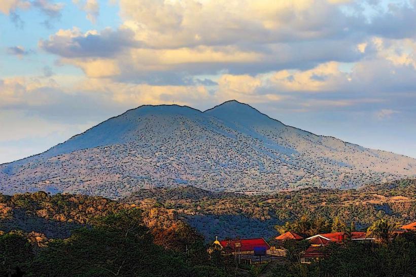
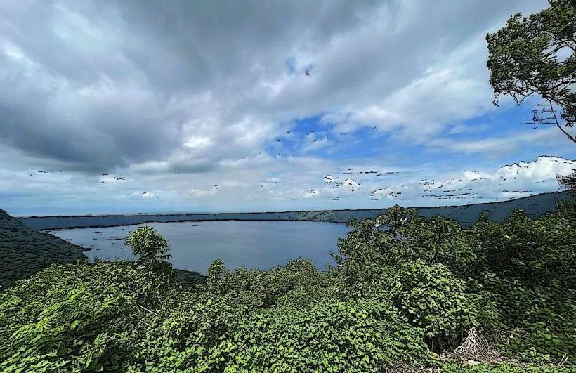
The Islets of Granada are a collection of approximately 409 small islands formed by a volcanic eruption of the Mombacho Volcano. They are located in Lake Nicaragua, south of Granada City, Nicaragua.
Visual Characteristics
The islets vary in size, with some supporting dense tropical vegetation and others being bare rock formations. Many are covered in mature trees, including ceiba and mango trees. The water surrounding the islets is typically a murky brown due to sediment from the lake. Some islets feature small, simple structures, including private residences and a few historical fortifications.
Location & Access Logistics
Access to the Islets of Granada is primarily from the port of Asese, located approximately 5 kilometers south of Granada City. From Granada City, take the Carretera a Masaya towards Masaya, then turn south onto the road marked for Puerto Asese. Parking is available at Puerto Asese, with fees typically charged per vehicle. Boat tours are the sole method of access, departing regularly from Puerto Asese. Various tour operators offer different durations and routes, with standard tours lasting 2-3 hours.
Historical & Ecological Origin
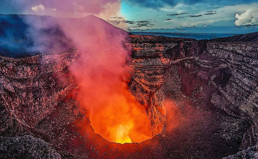
The islets were formed approximately 20,000 years ago by a significant eruption of the Mombacho volcano. The volcanic debris and lava flows created the landmasses that now constitute the islets. Historically, some islets were fortified by the Spanish colonial administration to defend against pirate attacks. For example, El Castillo San Pablo was constructed on one of the larger islets.
Key Highlights & Activities
Boat tours provide views of the diverse birdlife, including herons, egrets, and kingfishers. Visitors can observe the varied vegetation and geological formations. Some tours include stops at specific islets, such as Isla del Amor, known for its small shrine, or Isla San Pablo, which features remnants of a colonial fort. Kayaking is also an option for independent exploration of the smaller channels.
Infrastructure & Amenities
Basic amenities are limited to the departure point at Puerto Asese, which may have small food stalls and restrooms. On the islets themselves, infrastructure is minimal. Cell phone signal (4G/5G) is generally available but can be intermittent depending on the specific islet and proximity to the shore. Shade is provided by the natural tree cover on larger islets.
Best Time to Visit
The best time of day for wildlife viewing is early morning or late afternoon when birds are most active. The dry season, from December to April, offers the most pleasant weather with less rainfall. Lake Nicaragua's water levels can fluctuate, but this does not typically impede boat access.
Facts & Legends
A local legend suggests that the Isla del Amor (Island of Love) was named after a young couple who met and fell in love there, despite societal disapproval. Another point of interest is the presence of monkeys on some of the more densely vegetated islets, believed to have been introduced historically.
Nearby Landmarks
- Mombacho Volcano Natural Reserve (3km Southwest)
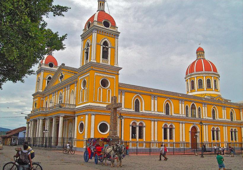
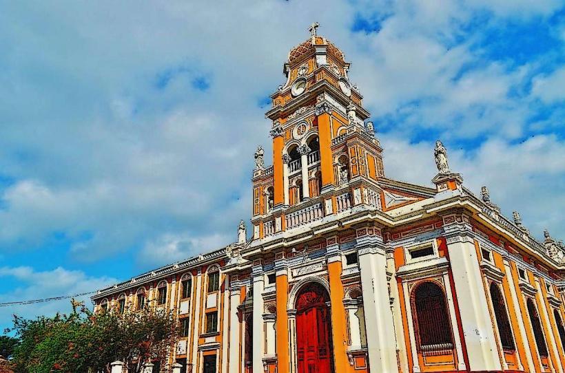
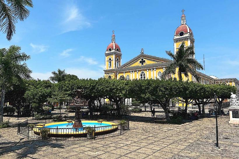
- Granada Cathedral (5km Northwest)
- ChocoMuseo Granada (5km Northwest)
- La Pólvora Park (4.5km Northwest)
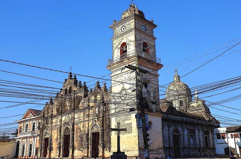
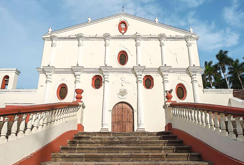
- Convento y Museo San Francisco (5km Northwest)