Information
Landmark: Lake Peligre (Lac de Peligre)City: Gonaives
Country: Haiti
Continent: North America
Lake Peligre (Lac de Peligre), Gonaives, Haiti, North America
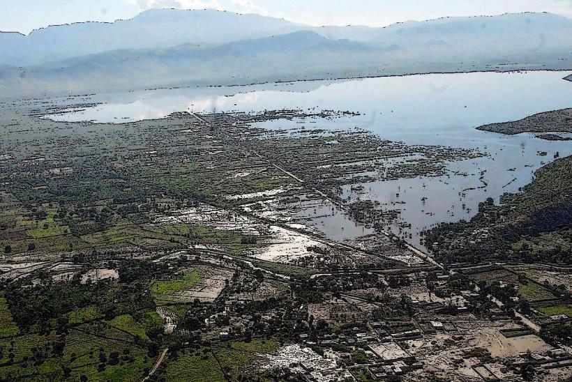
Lake Peligre, also known as Lac de Peligre, is a reservoir located in the central plateau of Haiti, near the city of Gonaives.
The lake is characterized by its expansive, often murky green water, surrounded by rolling hills and agricultural land. The shoreline is irregular, with areas of exposed rock and sediment depending on water levels. The dam structure itself is a significant concrete edifice.
Location & Access Logistics
Lake Peligre is situated approximately 40 kilometers northeast of Gonaives. Access is primarily via Route Nationale 1 (RN1) north from Gonaives, then turning east onto secondary roads. The condition of these secondary roads can vary significantly, especially after rainfall. Parking is generally informal and available at points near the dam or along accessible shorelines. Public transport directly to the lake is limited; shared taxis or private vehicles are the most common methods of access from Gonaives.
Historical & Ecological Origin
The lake was formed by the construction of the Peligre Dam, a hydroelectric project initiated in the late 1950s and completed in the early 1970s. The dam's primary purpose was to generate electricity for Haiti and to control flooding in the Artibonite River valley. The reservoir inundates a significant area of the former landscape.
Key Highlights & Activities
Activities at Lake Peligre are largely centered around the dam and the reservoir. Observation of the dam structure is possible from designated viewpoints. Fishing is a common local activity. Boat tours, when available, offer views of the reservoir and surrounding terrain. The area is also used for local recreation.
Infrastructure & Amenities
Basic amenities are scarce directly at the lake. Restrooms are not consistently available. Shade is limited to natural vegetation or structures associated with local fishing activities. Cell phone signal can be intermittent, particularly away from the dam area. Small food vendors may be present in the vicinity of the dam, but options are not guaranteed.
Best Time to Visit
The best time for photography is generally during the early morning or late afternoon when the sun angle is lower, providing more defined shadows on the dam and surrounding hills. The dry season, from November to April, offers more stable road conditions. Water levels can fluctuate, impacting shoreline accessibility.
Facts & Legends
A notable aspect of Lake Peligre is its role in Haiti's energy production, though the dam's operational capacity has faced challenges over time. Local folklore sometimes speaks of the reservoir's depth and the changes it brought to the land it submerged.
Nearby Landmarks
- 0.5km West: Peligre Dam
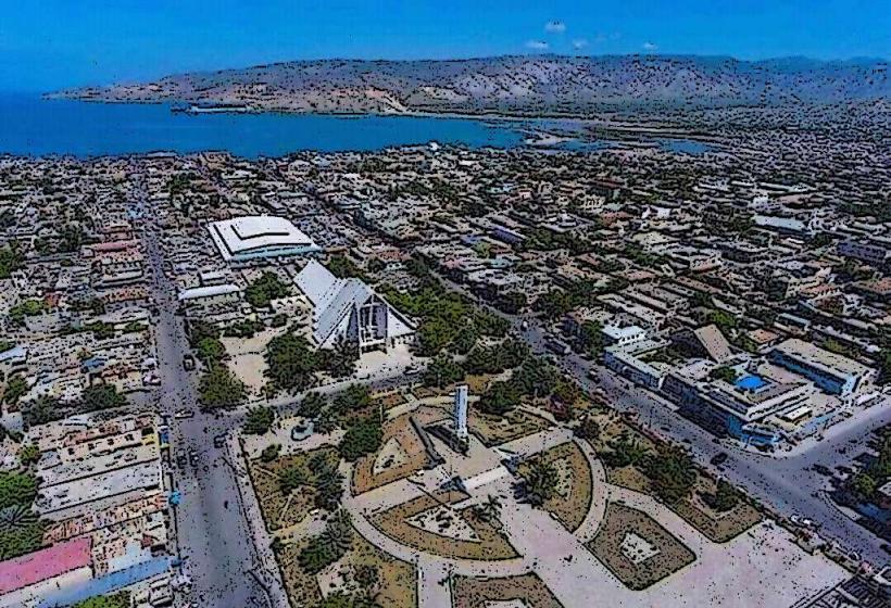
- 40km Southwest: Gonaives City Center
- 15km Northwest: Artibonite River