Information
Landmark: Lake ZurichCity: Zurich
Country: Switzerland
Continent: Europe
Lake Zurich, Zurich, Switzerland, Europe
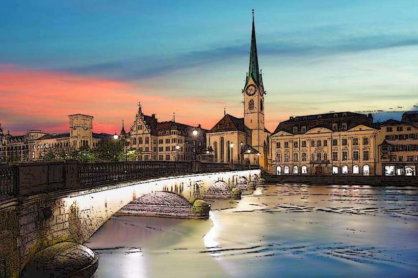
Lake Zurich (Zürichsee) is a crescent-shaped lake extending southeast from the city of Zurich. It is situated in the southwestern part of the Canton of Zurich, with its southern shores reaching into the cantons of St. Gallen and Schwyz.
Visual Characteristics
The lake is characterized by clear, deep blue water and a shoreline transition from urban density in the north to rural, vineyard-covered slopes and Alpine foothills in the south. The water is exceptionally clean, often reaching drinking water quality. The "Goldcoast" (northern shore) and "Snobcoast" (southern shore) are lined with affluent residential architecture, parks, and lidos (Strandbäder).
Location & Access Logistics
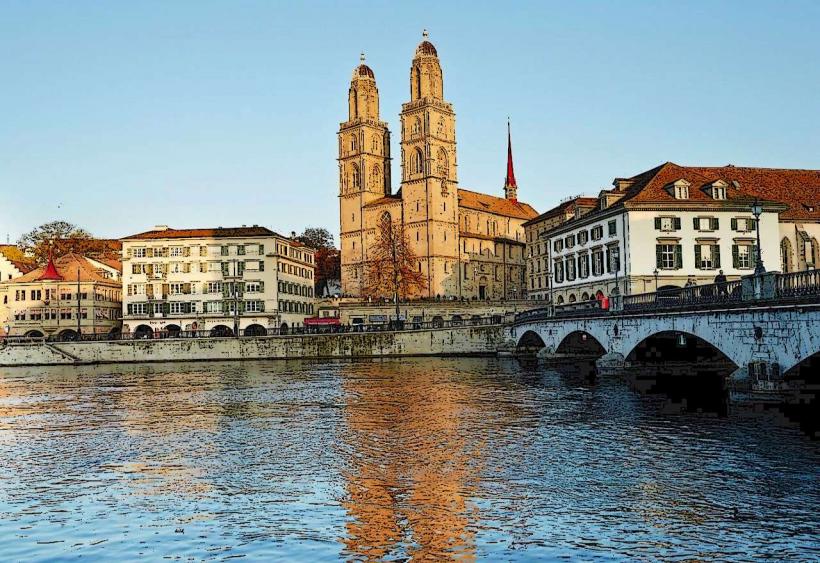
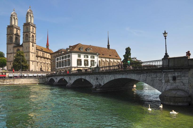
The lake begins at Bürkliplatz and Bellevue in central Zurich. It stretches approximately 40 km to the town of Schmerikon.
Public Transport: The Zürichsee-Schifffahrtsgesellschaft (ZSG) operates a fleet of passenger ships, including two historic paddle steamers.
Rail: The S-Bahn lines (S6, S7, S8, S16) run along both shores, providing constant lake views and access to waterfront towns.
Crossings: The Seedamm, a bridge and causeway at the lake’s narrowest point, connects Rapperswil and Pfäffikon.
Historical & Ecological Origin
The lake was formed by the Linth glacier as it retreated during the last glacial period. Historically, the lake served as a vital transport artery for salt, silk, and textiles. Today, it is the primary source of drinking water for the city of Zurich. The ecosystem supports significant populations of perch, pike, and lake trout, alongside migratory birds like the mute swan and tufted duck.
Key Highlights & Activities
Swimming: Numerous "Badis" (public baths) line the shore, such as Seebad Enge and Frauenbad Stadthausquai.
Boating: Motorboat and sailboat rentals are concentrated in Zurich, Wollishofen, and Rapperswil.
Promenades: The Quaianlagen (lakefront parks) in Zurich offer 3 km of continuous pedestrian paths.
Rapperswil: Known as the "Town of Roses," featuring a medieval castle and a wooden pedestrian bridge crossing the upper lake.
Infrastructure & Amenities
The lake is surrounded by highly developed infrastructure. Waterfront restaurants, public restrooms, and drinking fountains are frequent. 5G cellular coverage is maintained across the entire water surface. Most ZSG ferries are wheelchair accessible and offer onboard catering services.
Best Time to Visit
Summer (June–August) is optimal for swimming and water sports, with water temperatures reaching 20–24°C. For photography, the autumn months provide the clearest views of the Glarus Alps in the distance. During winter, the lake rarely freezes entirely, but the surrounding hills often feature fog layers (Hochnebel) that create a distinct "sea of clouds" effect.
Facts & Legends
The lake has frozen over completely (Seegfrörni) only a few times in recorded history, most recently in 1963. Local folklore includes tales of the "Lake Zurich Monster" and various spirits inhabiting the "Ufenau" and "Lützelau" islands. Archaeologically, the lake is famous for its prehistoric pile-dwelling sites, which are now part of a UNESCO World Heritage listing.
Nearby Landmarks
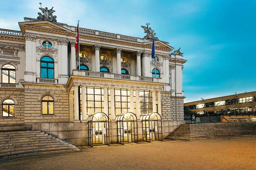
Bürkliplatz – 0.1 km (North shore)
Lindt Home of Chocolate – 5 km South (Kilchberg)
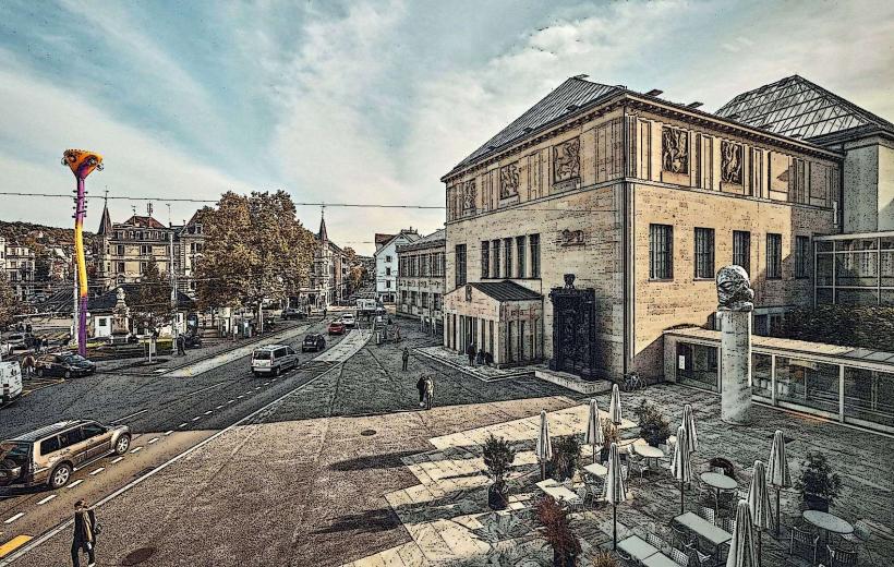
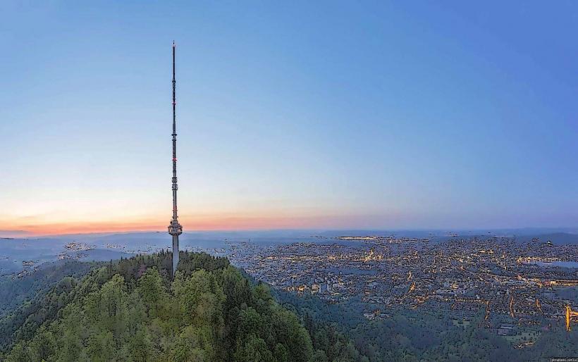
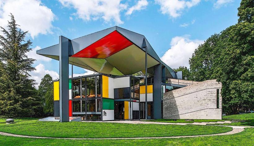
Uetliberg Mountain – 6 km West
Rapperswil Castle – 30 km Southeast
Island of Ufenau – Accessible via boat from Rapperswil