Information
Landmark: Liechtenstein Panorama PathsCity: Vaduz
Country: Liechtenstein
Continent: Europe
Liechtenstein Panorama Paths, Vaduz, Liechtenstein, Europe
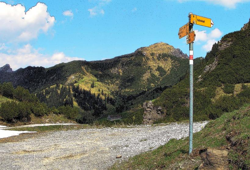
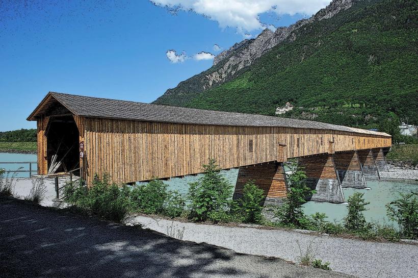
The Liechtenstein Panorama Paths are an extensive network of marked hiking trails traversing the mountainous terrain of Liechtenstein, primarily accessible from areas surrounding Vaduz and Triesenberg. These paths offer elevated perspectives of the Rhine Valley, the Swiss Alps, and the Austrian Vorarlberg region.
Visual Characteristics
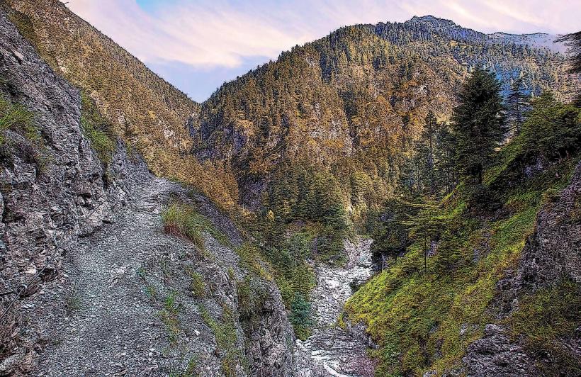
The paths are constructed from compacted earth, gravel, or natural rock, varying in width from single-track trails to wider service roads. They navigate through diverse landscapes including alpine meadows, dense coniferous forests, and exposed rocky ridges. The visual experience is dominated by the contrast between the green agricultural plains of the Rhine Valley below and the grey, rugged peaks of the surrounding Alps. Vegetation includes alpine flora, spruce, and larch trees.
Location & Access Logistics
Access points to the Liechtenstein Panorama Paths are distributed across the eastern side of the Rhine Valley. A primary starting point for several routes, including the Fürstensteig, is near Gaflei, approximately 10 kilometers east of Vaduz via Gafleistrasse. Other significant access points are located in Triesenberg and Malbun. Parking is available at designated trailheads in Gaflei, Malbun, and various points along the mountain roads. Public transport is available via bus line 21 from Vaduz Post to Gaflei or Malbun, with specific stops serving trail entrances.
Historical & Ecological Origin
The Liechtenstein Panorama Paths were developed over decades to provide recreational and tourist access to the principality's alpine environment. Many sections follow ancient routes used by shepherds and local inhabitants. Ecologically, the paths traverse subalpine and alpine zones, characterized by limestone and flysch geological formations. The region supports a diverse ecosystem adapted to mountain conditions, including specific alpine flora and fauna.
Key Highlights & Activities
Hiking is the primary activity, with trails ranging from easy walks suitable for families to challenging alpine treks. Notable routes include the Fürstensteig, an exposed alpine path with fixed ropes and chains, and the Princes' Way (Princes' Path), offering less strenuous but equally scenic options. Trail running is also common. Designated viewpoints and picnic areas are situated along various sections of the paths.
Infrastructure & Amenities
Restrooms are available at major trailheads, mountain huts (e.g., Berggasthaus Sücka, Berggasthaus Gaflei), and restaurants located near access points. Shade is provided by forested sections, but many parts of the trails are exposed to direct sunlight. Cell phone signal (4G/5G) is generally available across most of the network, though coverage can be intermittent in deep valleys or remote sections. Food and beverages are available at mountain huts and restaurants along or near the paths.
Best Time to Visit
The optimal period for hiking the Liechtenstein Panorama Paths is from late May to early October, when snow has largely melted from higher elevations and trails are clear. Early mornings are recommended for clearer views and cooler temperatures, particularly during summer months. Photography is best during the morning and late afternoon for softer light on the valley and mountain landscapes.
Facts & Legends
The Fürstensteig trail, while offering exceptional views, is classified as an alpine route requiring sure-footedness, a head for heights, and appropriate footwear. It is not recommended for individuals with vertigo. A practical tip is to carry sufficient water, as natural water sources are not always reliable, and to check local weather forecasts, as conditions in the mountains can change rapidly.
Nearby Landmarks
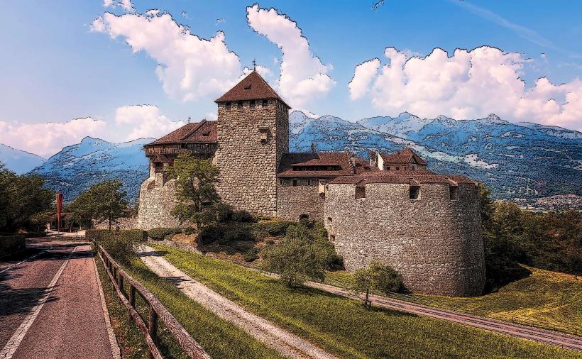
- Vaduz Castle: 5km West
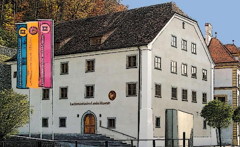
- Liechtenstein National Museum: 4.5km West
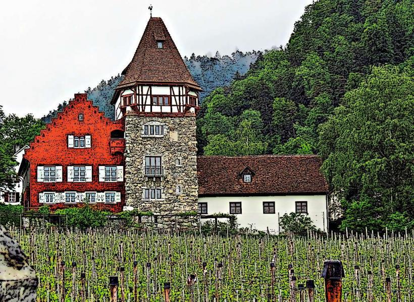
- Red House: 4km West
- Malbun Ski Resort: 8km East
- Triesenberg Parish Church: 3km South-West