Information
Landmark: Lock & Dam TrailCity: Keokuk
Country: USA Iowa
Continent: North America
Lock & Dam Trail, Keokuk, USA Iowa, North America
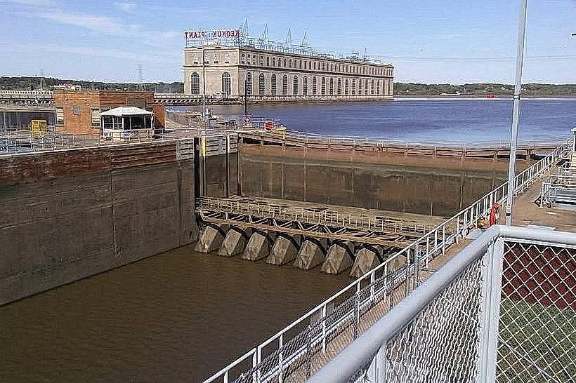
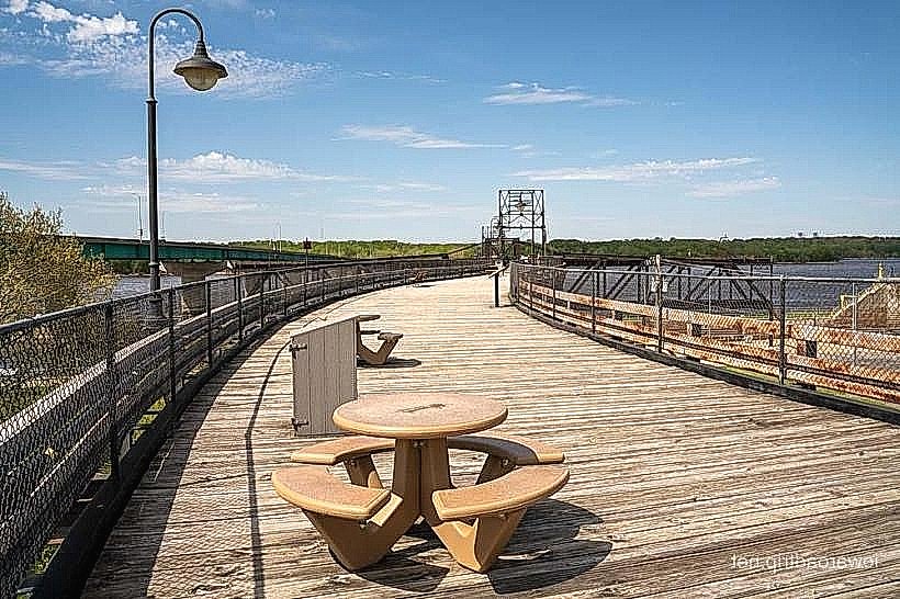
The Lock & Dam Trail is a linear recreational path situated along the Mississippi River in Keokuk, Iowa. It follows the course of the river adjacent to a significant hydroelectric dam and navigation lock.
Visual Characteristics
The trail is primarily paved asphalt, approximately 3 meters wide. It runs alongside the concrete structure of the Keokuk Hydroelectric Dam and the adjacent lock chamber. The Mississippi River is visible to the west of the trail, with its water color varying from brown to green depending on sediment load and season. Vegetation along the trail consists of mowed grass and scattered deciduous trees.
Location & Access Logistics
The trail begins at the intersection of North 10th Street and Mississippi Drive in Keokuk. It extends approximately 2.5 kilometers south along the riverfront. Parking is available at the trailhead on North 10th Street, with designated spaces. Public transport options are limited; the nearest bus stop is approximately 1.5 kilometers north on Main Street.
Historical & Ecological Origin
The Keokuk Hydroelectric Dam was completed in 1913, making it one of the earliest large-scale hydroelectric facilities in the United States. It was constructed by Stone & Webster for the Keokuk & Hamilton Water Power Company. The lock was added later to facilitate river navigation. The trail itself was developed as a recreational amenity in the late 20th century.
Key Highlights & Activities
Walking and cycling are the primary activities. Visitors can observe the operation of the navigation lock, which involves water level changes to move vessels. Birdwatching is possible, particularly during migratory seasons. Interpretive signage detailing the dam's history and river ecology is present at intervals.
Infrastructure & Amenities
Restrooms are located at the trailhead. Benches are provided along the trail. Shade is limited, primarily provided by scattered trees. Cell phone signal (4G/5G) is generally available. No food vendors are located directly on the trail; options are available in downtown Keokuk.
Best Time to Visit
For photography, early morning or late afternoon light offers optimal illumination of the dam structure. The months of April through October provide the most favorable weather conditions for outdoor activities. The trail is accessible year-round, though winter conditions may affect surface traction.
Facts & Legends
The Keokuk Dam was once the largest hydroelectric power plant in the world. A local legend suggests that the sheer scale of the dam's construction was so immense that it altered the river's flow enough to influence the migration patterns of certain fish species, though this is not scientifically verified.
Nearby Landmarks
- Keokuk Lock & Dam Visitor Center: 0.2km South
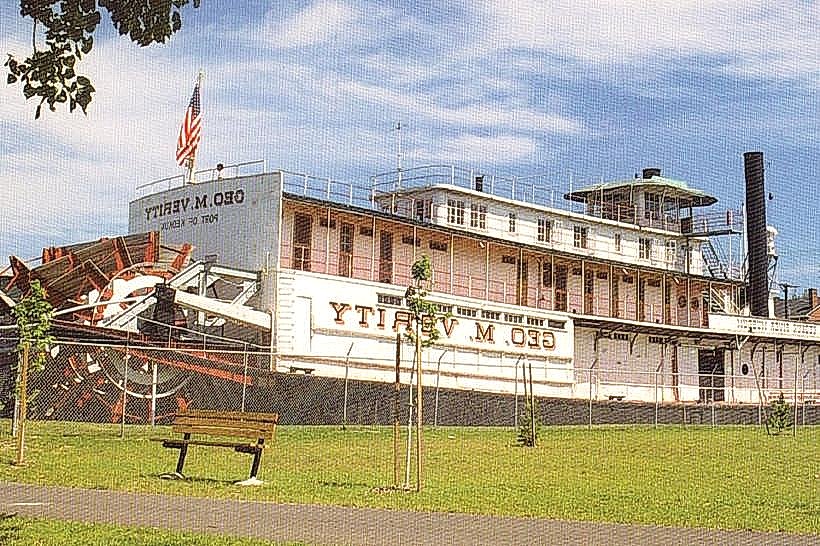
- George M. Verity Riverboat Museum: 1.0km South
- Rand Park: 1.5km Southwest
- Downtown Keokuk Historic District: 1.8km West