Information
Landmark: Lough DergCity: Tipperary
Country: Ireland
Continent: Europe
Lough Derg, Tipperary, Ireland, Europe
Lough Derg is the third-largest lake in Ireland and the largest within the River Shannon system. Bordered by counties Tipperary, Clare, and Galway, its eastern shore in County Tipperary is a major hub for navigation, water sports, and historical sites.
Physical and Hydrological Characteristics
The lake covers approximately $118$ $\text{km}^2$ and is characterized by a long, narrow southern section that widens into a massive northern basin.
Topography: The southern end is flanked by the Slieve Bernagh and Arigna mountains, creating a dramatic fjord-like entrance at Killaloe/Ballina.
Depth: The average depth is $7.6$ meters, with a maximum depth of approximately $36$ meters.
Water System: It serves as a natural reservoir for the Arigna/Shannon hydroelectric scheme at Ardnacrusha.
Location & Access Logistics
Primary Tipperary Access Points: Ballina, Dromineer, Terryglass, and Garrykennedy.
Transit: Private vehicle is the most practical. Bus Éireann serves the larger towns (Ballina/Killaloe), but lakeshore villages are isolated.
Navigation: Part of the Shannon-Erne Waterway. It is fully navigable by large cruisers, though the northern section requires careful navigation due to rocky shoals.
Parking: Extensive public car parks and slipways are available in Dromineer and Terryglass.
Historical & Cultural Significance
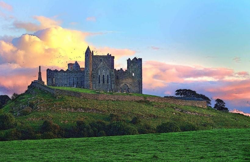
Brian Boru: The High King of Ireland maintained his seat of power at Kincora, located at the southern tip of the lake in the twin towns of Killaloe and Ballina.
Holy Island (Inis Cealtra): Technically in County Clare but reached via Tipperary shores; it contains a round tower, multiple churches, and high crosses dating to the 7th century.
Industrial Heritage: The lake was a vital artery for the Guinness trade, with barges transporting stout from Dublin to Limerick via the Grand Canal and Lough Derg.
Key Activities
Sailing: Dromineer is home to the Lough Derg Yacht Club (est. 1835), one of the oldest in the world.
Angling: Nationally significant for brown trout (specifically the "Gillaroo" variety) and pike.
The Lough Derg Way: A $64$ km long-distance walking trail starting from Limerick City and following the canal and lakeshore to Killaloe/Ballina.
Cruising: A major international destination for self-drive hire cruisers.
Infrastructure & Amenities
Harbors: High-quality public moorings maintained by Waterways Ireland at Terryglass, Kilgarvan, and Garrykennedy.
Sanitation: Public restrooms and shower blocks (accessible via a Waterways Ireland smart card) are located at all major harbors.
Blue Flag Beaches: Mountshannon (Clare) and Killaloe/Ballina areas often hold Blue Flag status for water quality.
Connectivity: 5G/4G is generally strong near the towns but can be intermittent in the center of the lake.
Technical Details
Lough Derg is a "limestone lake," meaning its water chemistry is alkaline. This supports high levels of biodiversity, including the rare Pollan (Coregonus autumnalis), a glacial relic fish found in only a few Irish lakes. The lake’s levels are strictly regulated by the ESB (Electricity Supply Board) to manage hydroelectric requirements and flood prevention.
Nearby Landmarks
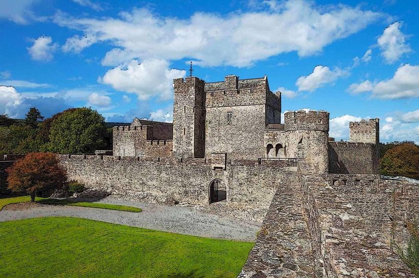
Nenagh Castle – $10$ km East of Dromineer
The Graves of the Leinstermen – High point overlooking Ballina
Portumna Forest Park – At the northern tip (Galway border)
Birr Castle – $25$ km Northeast of Terryglass