Information
Landmark: The VeeCity: Tipperary
Country: Ireland
Continent: Europe
The Vee, Tipperary, Ireland, Europe
The Vee is a V-shaped mountain pass located in the Knockmealdown Mountains on the R668 road, connecting Clogheen in County Tipperary to Lismore in County Waterford. It is categorized as one of Ireland’s most scenic driving routes, reaching an elevation of approximately $300$ meters ($984$ ft).
Visual and Geological Characteristics
The pass offers a wide-angle panoramic view of the "Golden Vale," a rich agricultural plain spanning across Tipperary, Limerick, and Cork.
Topography: A sharp, hairpin bend in the road creates a natural viewing balcony.
Flora: Famously known for its dense growth of rhododendrons (specifically Rhododendron ponticum), which bloom in vibrant purple and pink hues during late May and early June.
The "V" Shape: Formed by the gap between Sugarloaf Hill and Knockmealdown Mountain.
Location & Access Logistics
Address: R668, Clogheen/Lismore border, Co. Tipperary/Co. Waterford.
Position: $10$ km south of Clogheen; $15$ km north of Lismore.
Transit: No public transport. Accessible only via private vehicle, motorcycle, or bicycle.
Parking: Multiple gravel lay-bys and a designated viewing area with parking are located at the apex of the hairpin bend.
Accessibility: The primary views are accessible directly from the roadside or car parks. However, the surrounding hiking trails consist of steep, peat-covered mountain terrain.
Historical & Archaeological Features
Grubb’s Grave: Located a short hike above the pass. Samuel Grubb, a local Quaker and owner of Castle Grace, was buried here in 1921 in an upright position (as per his request) to "look out over his lands" for eternity. It is marked by a stone cairn.
Bay Lough: A corrie lake (glacial lake) located just below the pass. Local folklore claims the lake is bottomless and haunted by "Petticoat Loose," a woman from Irish legend.
The "Lynch" Famine Wall: Remains of stone walls built as relief work during the Great Famine are visible on the mountain slopes.
Key Activities & Trails
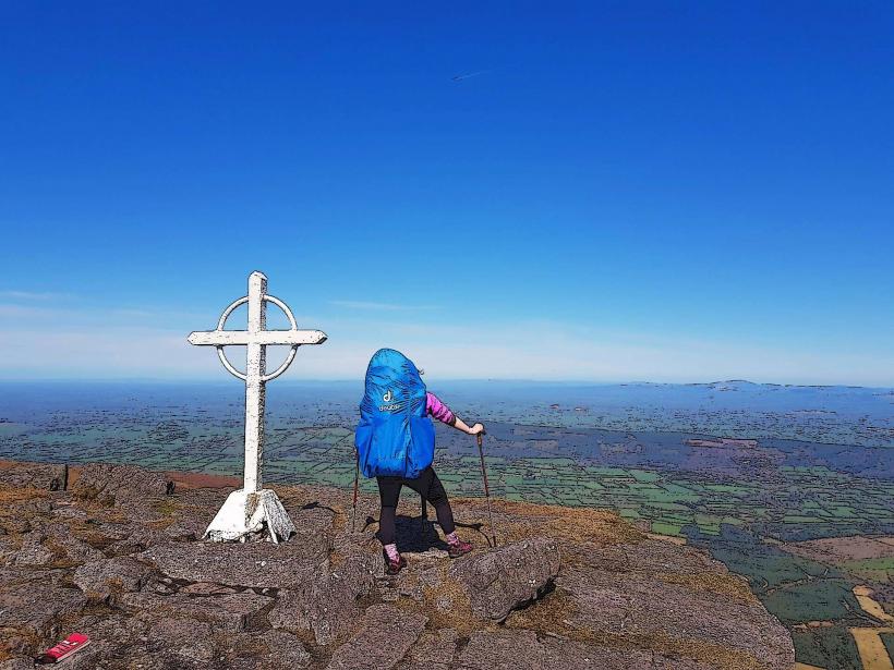
Knockmealdown Summit: A challenging hike starting from the pass to the highest point in the range ($794$ m).
Bay Lough Walk: A relatively easy $2$ km out-and-back trail from the main car park to the shores of the glacial lake.
The Munster Way: A long-distance walking route that intersects the pass.
Infrastructure & Amenities
Facilities: The site is a natural outdoor area with no permanent staff.
Sanitation: No public restrooms at the pass. The nearest facilities are in Clogheen ($10$ km) or Lismore ($15$ km).
Connectivity: 4G signal is surprisingly stable due to the line-of-sight across the valley, though it drops in the deep shadow of the mountain peaks.
Seasonal Note: The road is prone to closure during winter due to heavy snow and ice at high altitudes.
Technical Details
The Knockmealdown Mountains are composed primarily of Old Red Sandstone, formed roughly $360$ million years ago. The V-shape of the pass is the result of both tectonic uplifting and subsequent glacial erosion during the last Ice Age, which carved the deep valleys and corrie lakes like Bay Lough.
Nearby Landmarks
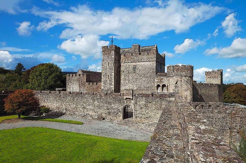
Cahir Castle – $20$ km North
Lismore Castle – $15$ km South
Mitchelstown Caves – $22$ km West
Mount Melleray Abbey – $12$ km Southeast