Information
Landmark: Madriu-Perafita-Claror Valley (UNESCO Site)City: Escaldes Engordany
Country: Andorra
Continent: Europe
Madriu-Perafita-Claror Valley (UNESCO Site), Escaldes Engordany, Andorra, Europe
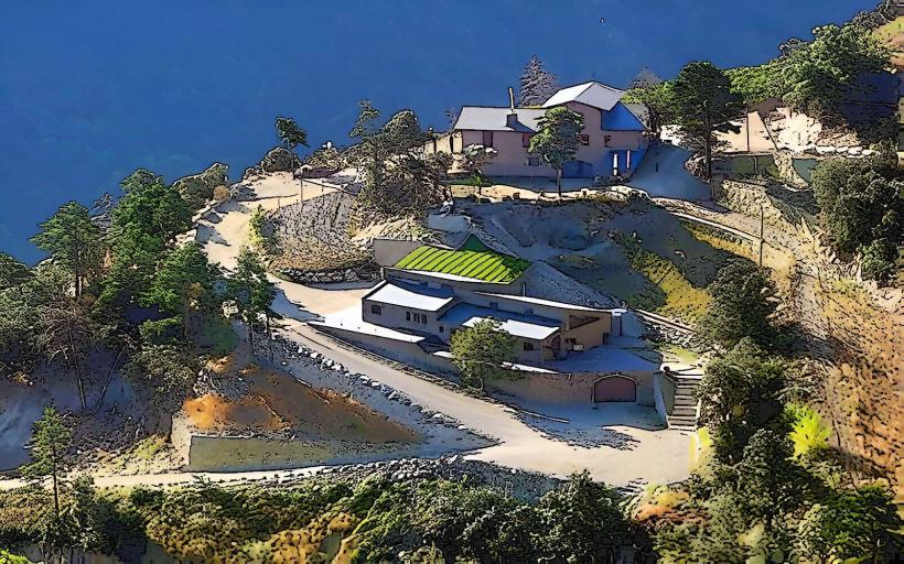
The Madriu-Perafita-Claror Valley is a glacial valley and a UNESCO World Heritage cultural landscape located in southeastern Andorra. It spans across the parishes of Escaldes-Engordany, Encamp, Andorra la Vella, and Sant Julià de Lòria.
Visual Characteristics
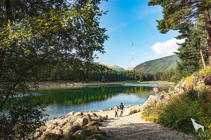
The valley features a U-shaped glacial topography with cirques, rock formations, and glacial lakes such as Estany de l'Illa. Elevations range from approximately 1,000 meters to 2,900 meters. Vegetation includes dense pine and fir forests at lower altitudes, transitioning to high mountain pastures and rocky scree slopes. The Madriu River flows through the valley, fed by snowmelt and rainfall.
Location & Access Logistics
Access to the core of the Madriu-Perafita-Claror Valley is exclusively by foot, as no roads penetrate the protected area. Primary trailheads include the path from Engolasters Lake in Escaldes-Engordany, approximately 4 kilometers east of the city center. Another access point is from Ramio, south of Andorra la Vella. Parking is available at these trailhead locations. Public transport via local bus lines serves Escaldes-Engordany and Andorra la Vella, requiring further walking or taxi services to reach the specific trail starting points.
Historical & Ecological Origin
The valley is a high mountain ecosystem primarily shaped by glacial erosion during the Quaternary period, resulting in its characteristic granitic bedrock and U-shaped profile. It was designated a UNESCO World Heritage cultural landscape in 2004, recognized for its evidence of 700 years of human interaction with the environment, including traditional pastoralism, iron smelting, and agricultural practices that have shaped its unique landscape.
Key Highlights & Activities
Hiking is the primary activity, with an extensive network of marked trails, including sections of the GR 11 long-distance path. Trekking to mountain refuges like Refugi de l'Illa and Refugi de Fontverd is possible for multi-day excursions. Wildlife observation includes chamois, marmots, and various raptor species. Photography opportunities exist for capturing the glacial landscape and traditional stone shepherd huts (bordes).
Infrastructure & Amenities
Restroom facilities are limited to mountain refuges within the valley. Shade availability varies significantly; lower elevations offer forest cover, while higher altitudes are exposed. Cell phone signal (4G/5G) is intermittent and unreliable throughout much of the valley. There are no commercial food vendors or shops within the protected area; mountain refuges may offer basic provisions for guests.
Best Time to Visit
The optimal period for visiting the Madriu-Perafita-Claror Valley is from June to September, when snow has largely melted from the trails and weather conditions are most stable for hiking. Early morning or late afternoon light provides the best conditions for landscape photography, enhancing the valley's contours and features.
Facts & Legends
Historically, the valley was a significant center for iron production, with evidence of ancient forges and charcoal burning sites. A local legend recounts tales of "Encantades," enchanted women believed to inhabit the high mountain lakes and remote areas, occasionally seen by solitary travelers.
Nearby Landmarks
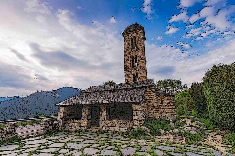
- Engolasters Lake: 0.5km West
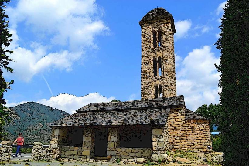
- Sant Miquel d'Engolasters Church: 0.7km West
- Caldea Spa Center: 4.5km West
- Andorra la Vella city center: 5km West