Information
Landmark: Manakara National ParkCity: Manakara
Country: Madagascar
Continent: Africa
Manakara National Park, Manakara, Madagascar, Africa
Manakara National Park is a protected area encompassing coastal rainforest and wetland ecosystems situated approximately 15 kilometers north of the city of Manakara, along Madagascar's southeastern coast. It serves as a critical habitat for endemic flora and fauna.
Visual Characteristics
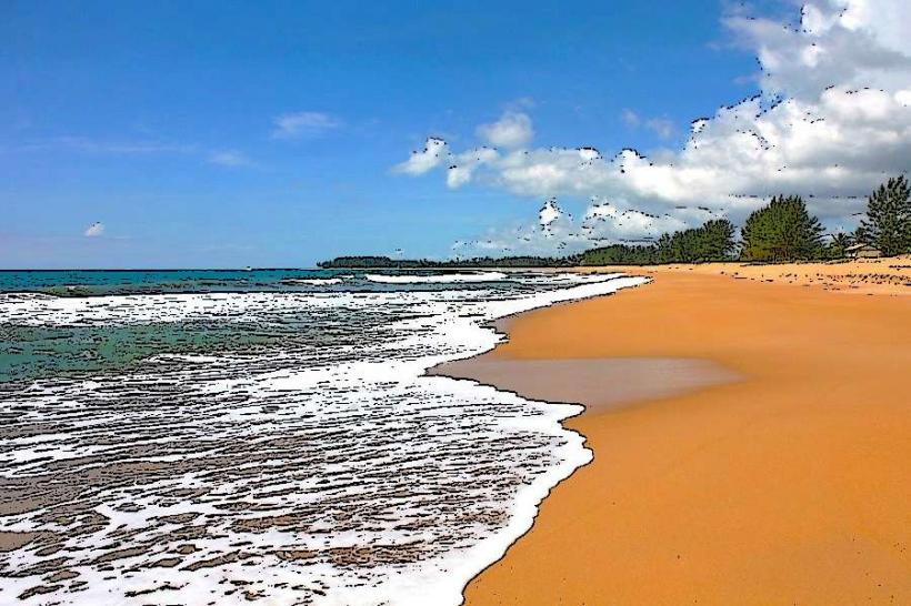
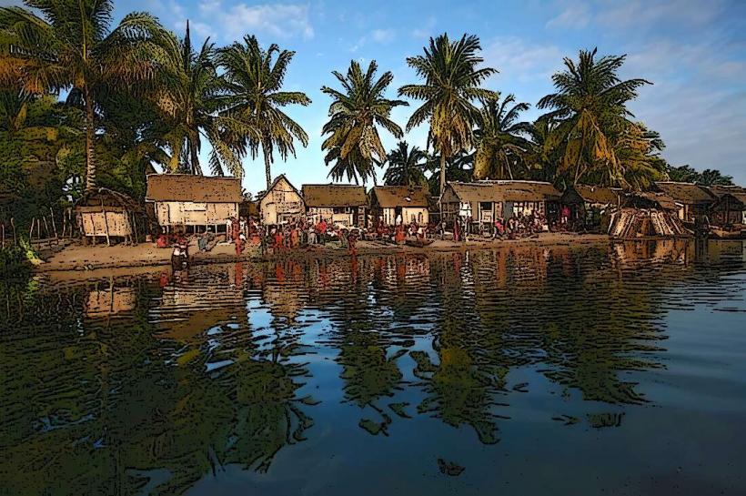
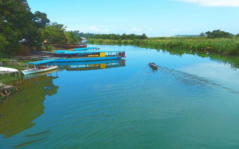
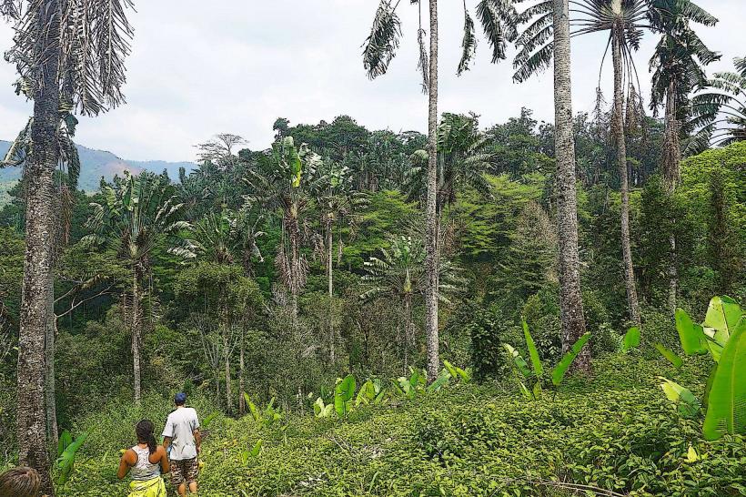
The park's landscape is characterized by dense evergreen rainforest transitioning into mangrove forests and freshwater marshes near the coast. Dominant tree species include various palms and hardwoods, forming a multi-layered canopy reaching heights of 25-30 meters. The undergrowth is thick with ferns and epiphytes. Coastal sections feature sandy beaches with fine, light-brown sand, while inland areas present gently rolling terrain with lateritic soil. Water bodies within the park, including small rivers and lagoons, typically exhibit a tea-stained brown color due to organic matter.
Location & Access Logistics
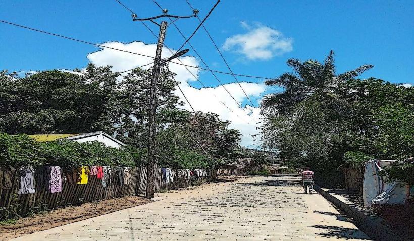
The park entrance is located approximately 15 kilometers north of Manakara city center. Access is primarily via Route Nationale 12 (RN12) heading north, with a marked turn-off onto a gravel track after approximately 12 kilometers. This track, designated as Piste du Parc, extends for 3 kilometers directly to the main visitor center. Limited parking for approximately 20 vehicles is available at the visitor center. Public transport options are restricted; local taxi-brousses (shared taxis) can be hired from Manakara to the RN12 turn-off, but onward travel to the park entrance requires pre-arranged transport or walking.
Historical & Ecological Origin
Manakara National Park was officially designated in 2005, primarily to protect the unique biodiversity of Madagascar's southeastern coastal forests and associated wetlands. Ecologically, it is classified as a lowland humid forest and mangrove ecosystem, crucial for migratory bird species and several endemic lemur populations. The geological substrate consists mainly of ancient Precambrian basement rocks overlaid with more recent Quaternary alluvial and coastal sediments.
Key Highlights & Activities
Visitors can engage in guided forest walks along designated trails, ranging from 2-hour loops to full-day treks. Birdwatching is a primary activity, with specific hides located near wetland areas. Canoe excursions are available on the park's internal lagoons, departing from the visitor center jetty. Photography permits are required for professional equipment.
Infrastructure & Amenities
The main visitor center provides basic restroom facilities, including flush toilets and handwashing stations. Limited shaded picnic areas are available near the visitor center. Cell phone signal (2G/3G) is intermittent within the park, with stronger reception near the entrance. A small kiosk at the visitor center sells bottled water and packaged snacks; no full-service food vendors are present.
Best Time to Visit
The optimal period for visiting is during the dry season, from April to November, when rainfall is minimal and trails are less muddy. Early mornings (06:00-09:00) are ideal for wildlife observation and photography, particularly for lemurs and birds, due to cooler temperatures and active animal behavior. Afternoon visits (14:00-17:00) offer softer light for forest photography.
Facts & Legends
Local folklore suggests that the largest baobab tree within the park, located near the central lagoon, is inhabited by the spirits of ancient fishermen who guide lost travelers. A verified historical oddity is the discovery of a 19th-century French colonial survey marker deep within the park's interior, indicating early European exploration of the region's dense forests. A practical tip for visitors is to wear long sleeves and trousers, and apply insect repellent, due to the prevalence of mosquitoes.
Nearby Landmarks
- Canal des Pangalanes: 2.5km West
- Manakara Lighthouse: 4.0km South-West
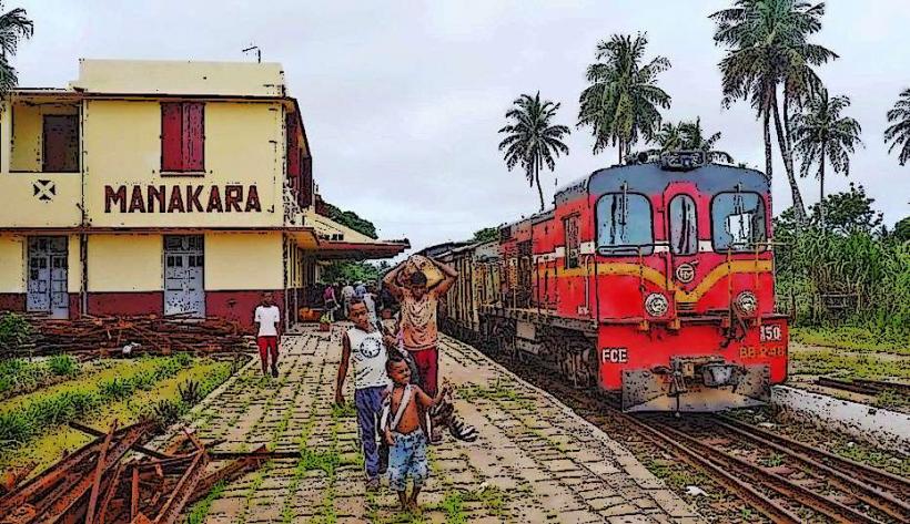
- Manakara Railway Station: 3.5km South
- Ankoba Beach: 1.8km South-East