Information
Landmark: Manzanillo EcoaventuraCity: Montecristi
Country: Dominican Republic
Continent: North America
Manzanillo Ecoaventura, Montecristi, Dominican Republic, North America
Manzanillo Ecoaventura is an ecological park situated near the town of Manzanillo, within the province of Montecristi, Dominican Republic. It functions as a protected area focused on eco-tourism and the preservation of coastal ecosystems.
Visual Characteristics
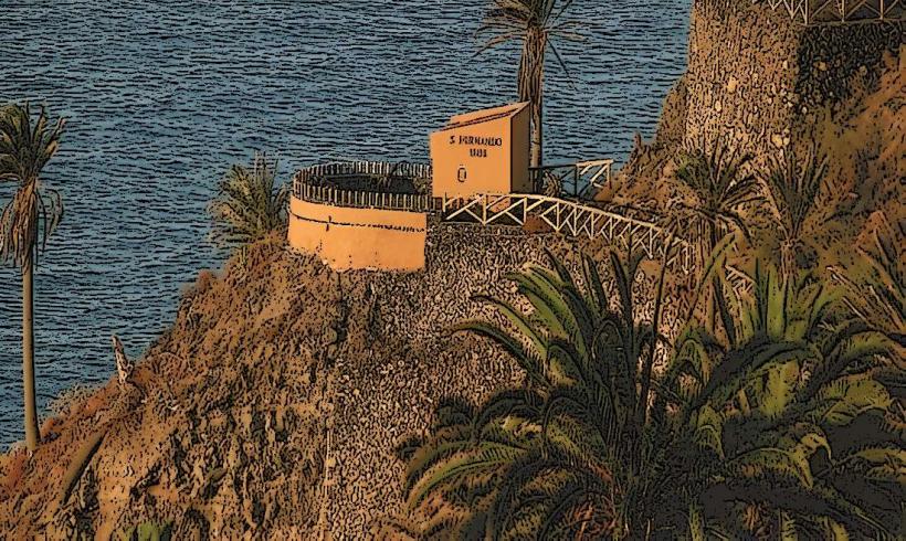
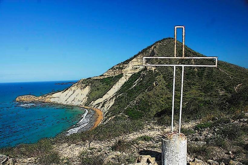
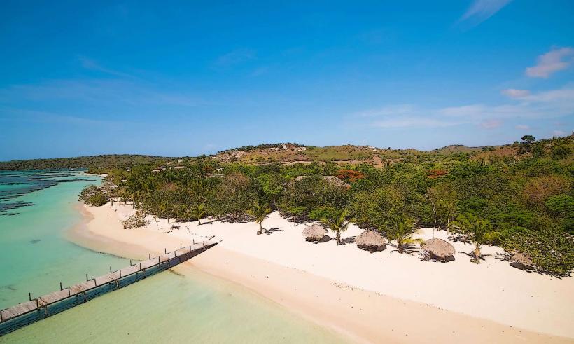
The park primarily features dense mangrove forests, particularly red and black mangroves, bordering calm estuarine waters. The landscape includes sandy beaches, some with light-colored sand and others with darker, coarser grains. Vegetation density is high, characterized by salt-tolerant plants and various tree species typical of a tropical dry forest transitioning into a coastal wetland. Structures within the park are minimal, typically constructed from wood or natural materials, designed to blend with the environment, such as observation platforms and boardwalks.
Location & Access Logistics
Manzanillo Ecoaventura is located approximately 25 kilometers northwest of the city center of Montecristi. Access is primarily via Carretera Montecristi-Manzanillo (DR-100). From Montecristi, proceed north on DR-100 towards Manzanillo. The park entrance is typically signposted off this main road before reaching the port area. Parking is available on-site, usually in designated unpaved areas. Public transport options are limited; local guaguas (minibuses) travel between Montecristi and Manzanillo, but direct service to the park entrance is not guaranteed, often requiring a taxi or motoconcho for the final segment.
Historical & Ecological Origin
The area encompassing Manzanillo Ecoaventura is ecologically classified as a coastal wetland and dry forest ecosystem. Its establishment as an eco-tourism park is a relatively recent initiative, aimed at protecting the significant mangrove forests and associated biodiversity, while providing controlled access for educational and recreational purposes. The mangroves serve as critical nurseries for marine life and natural barriers against coastal erosion.
Key Highlights & Activities
Kayaking and paddleboarding are available for navigating the mangrove channels. Bird watching is a primary activity, with opportunities to observe various migratory and resident species from designated observation points. Guided boat tours through the estuary are offered, providing insights into the ecosystem. Hiking trails are present, leading through dry forest sections and to specific beach access points. Swimming is possible at designated beach areas.
Infrastructure & Amenities
Basic restrooms are available at the main entrance or visitor center. Limited shaded areas are provided by natural tree cover and some small, open-air shelters. Cell phone signal (4G) is generally available but can be intermittent in deeper mangrove areas. Food vendors are not typically present within the park itself; visitors should bring their own provisions or plan to eat in the nearby town of Manzanillo.
Best Time to Visit
The best months to visit are from December to April, when the weather is drier and temperatures are more moderate, typically ranging from 25°C to 30°C. Early mornings (7:00 AM - 10:00 AM) are optimal for bird watching and photography due to cooler temperatures and softer light. High tide conditions are preferable for kayaking through the mangrove channels, allowing for easier navigation.
Facts & Legends
The mangrove forests within Manzanillo Ecoaventura are part of one of the most extensive and well-preserved mangrove systems in the Dominican Republic. These mangroves play a crucial role in filtering water and protecting the coastline from storm surges. A local tip suggests observing the fiddler crabs during low tide, as thousands emerge from their burrows along the muddy banks.
Nearby Landmarks
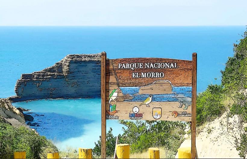
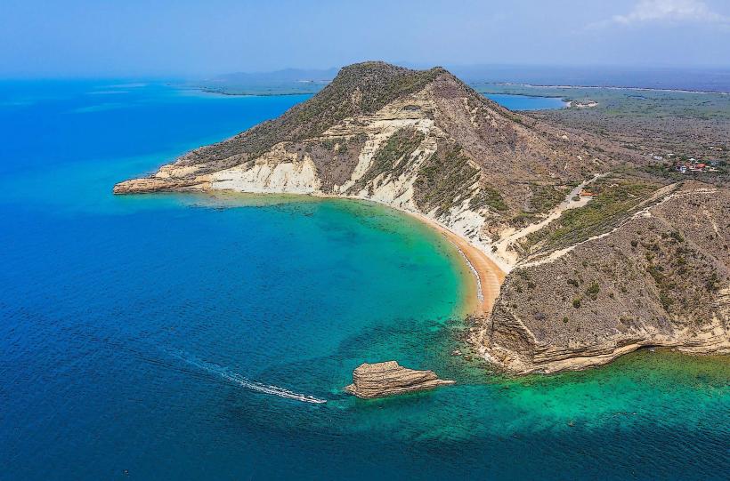
- Parque Nacional Montecristi (including El Morro) - 20km Southeast
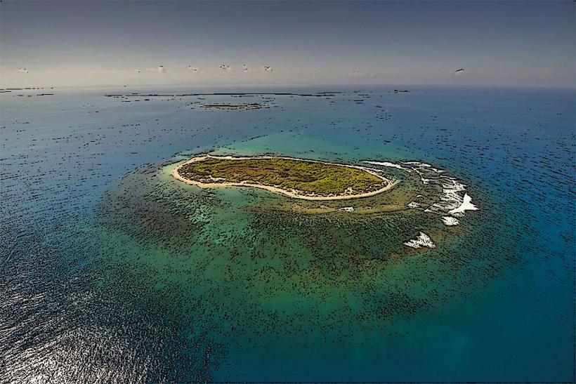
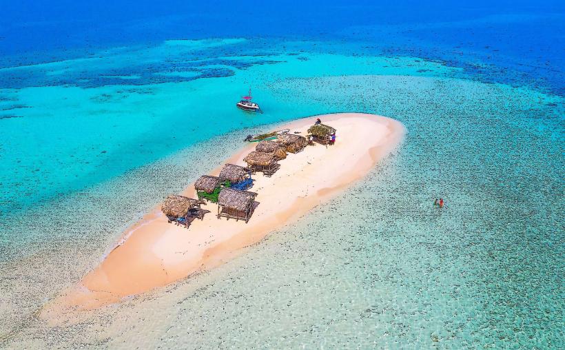
- Cayo Siete Hermanos (Seven Brothers Cayes) - 15km North (accessible by boat from Manzanillo)
- Puerto de Manzanillo - 5km West
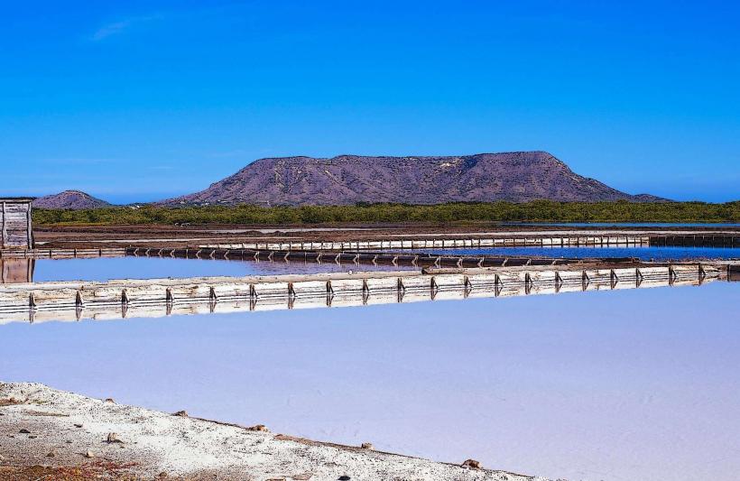
- Laguna de Saladillo - 10km Southeast