Information
Landmark: Mascoma River GreenwayCity: Lebanon
Country: USA New Hampshire
Continent: North America
Mascoma River Greenway, Lebanon, USA New Hampshire, North America
The Mascoma River Greenway is a multi-use trail located in Lebanon, New Hampshire, USA. It follows the path of the Mascoma River, connecting various points within the city.
Visual Characteristics
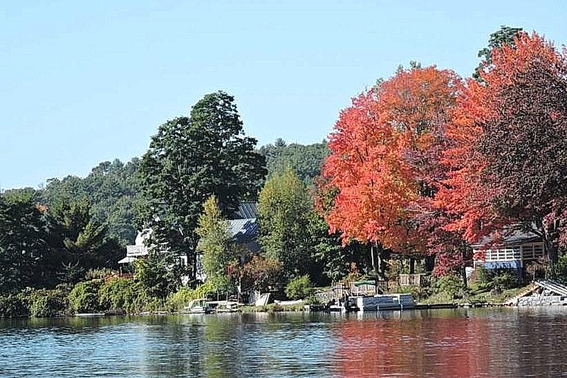
The trail surface is primarily crushed gravel, measuring approximately 10 feet in width. It is bordered by mixed deciduous and coniferous forest. The Mascoma River runs alongside the western portion of the trail, exhibiting a brown to grey water color depending on recent rainfall. Riverbanks consist of a mix of soil, exposed rock, and vegetation.
Location & Access Logistics
The Mascoma River Greenway extends from the Lebanon Green, located at the intersection of Main Street and Elm Street in downtown Lebanon, eastward for approximately 3.5 miles. Access points are available at the Lebanon Green, the Colburn Park parking lot, and the parking area at the Elm Street bridge. Public transport options include the Advance Transit bus service, with stops near the Lebanon Green and along Route 12A, which runs parallel to sections of the greenway.
Historical & Ecological Origin
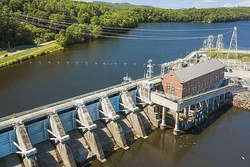
The Mascoma River Greenway was developed on a former railroad corridor. The Boston and Maine Railroad operated a line through this area, which was later abandoned. The conversion to a recreational trail began in the early 2000s, with phased development and improvements continuing to the present. Ecologically, the area is part of the Connecticut River watershed, supporting riparian habitats.
Key Highlights & Activities
Activities include walking, jogging, cycling, and cross-country skiing in winter. Birdwatching is possible along the river. The trail provides access to fishing spots at designated points. Interpretive signage detailing local history and ecology is present at intervals.
Infrastructure & Amenities
Restrooms are available at the Lebanon Green and Colburn Park. Benches are situated along the trail. Shade is provided by the surrounding tree canopy. Cell phone signal (4G/5G) is generally available along most of the greenway. No food vendors are directly located on the trail; however, numerous restaurants and shops are accessible from the Lebanon Green access point.
Best Time to Visit
For photography, early morning or late afternoon light offers optimal illumination. The months of May through October provide the most favorable weather conditions for outdoor activities. No tide considerations apply.
Facts & Legends
A historical marker near the Elm Street bridge commemorates the former railroad operations. Local lore suggests that during the railroad's active years, clandestine meetings and exchanges occurred along this route, though specific verifiable accounts are scarce.
Nearby Landmarks
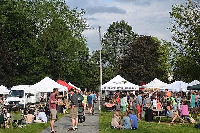
- Lebanon Green (0.1km West)
- Colburn Park (0.3km West)
- Upper Valley Food Co-op (0.8km West)
- Dartmouth-Hitchcock Medical Center (4.5km Southwest)