Information
Landmark: Merzouga DesertCity: Merzouga
Country: Morocco
Continent: Africa
Merzouga Desert, Merzouga, Morocco, Africa
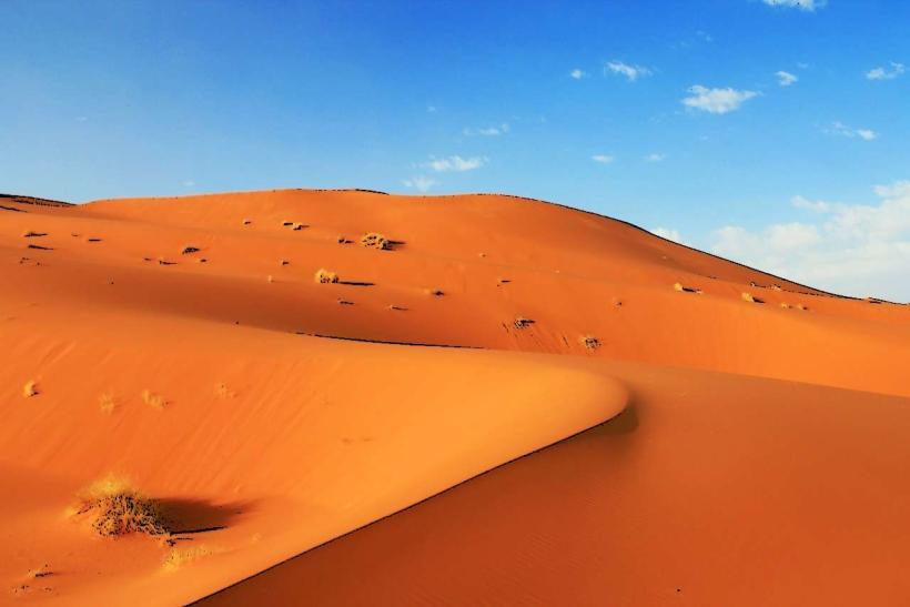
Merzouga Desert is a large erg located in southeastern Morocco, near the Algerian border. It is characterized by its extensive sand dunes.
Visual Characteristics
The desert features vast expanses of ergs, which are large, shifting sand dunes. The sand color ranges from pale yellow to deep orange, varying with the angle of the sun. Dune heights can reach up to 150 meters. Sparse desert vegetation, primarily hardy shrubs and grasses, is present in some areas.
Location & Access Logistics
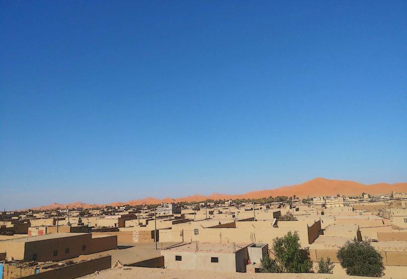
Merzouga is situated approximately 20 kilometers southeast of Rissani and 35 kilometers southwest of Erfoud. Access is primarily via the N13 highway, which connects to larger cities like Errachidia and Ouarzazate. From Merzouga village, unpaved tracks lead directly into the erg. Parking is available in Merzouga village, with many accommodations offering secure parking for guests. Public transport options include intercity buses to Merzouga from major Moroccan cities, though direct routes are limited.
Historical & Ecological Origin
The erg is a product of aeolian processes, where wind has shaped and accumulated sand over millennia. It is part of the larger Sahara Desert, a hyperarid region shaped by climatic shifts. The dunes are geologically composed of quartz sand.
Key Highlights & Activities
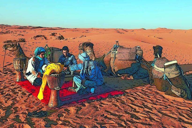
Camel treks into the dunes are a primary activity, often including overnight stays in desert camps. 4x4 excursions are available for traversing the sandy terrain. Sandboarding down the dune faces is also practiced. Observing sunrise and sunset over the dunes is a common visitor objective.
Infrastructure & Amenities
Basic amenities are available in Merzouga village, including guesthouses and restaurants. Within the erg, accommodations consist of desert camps, which vary in comfort level. Restrooms are typically available at camps and in the village. Shade is limited in the open desert, provided mainly by tents or natural rock formations. Cell phone signal (2G/3G) is generally available in Merzouga village and at some higher dune locations, but can be intermittent within the deeper erg.
Best Time to Visit
The optimal months for visiting are from October to April, avoiding the extreme summer heat. Daytime temperatures can exceed 40°C in July and August. For photography, the hours around sunrise and sunset offer the most dramatic lighting and shadow play on the dunes. No specific tide requirements apply.
Facts & Legends
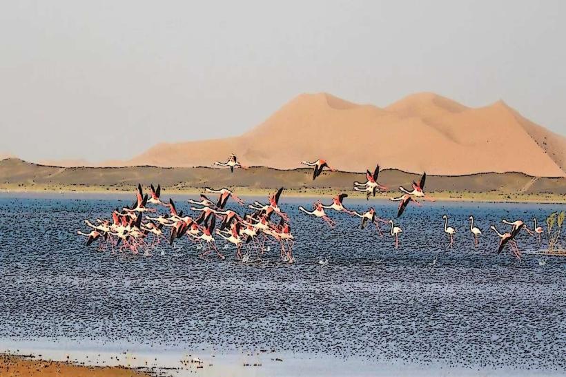
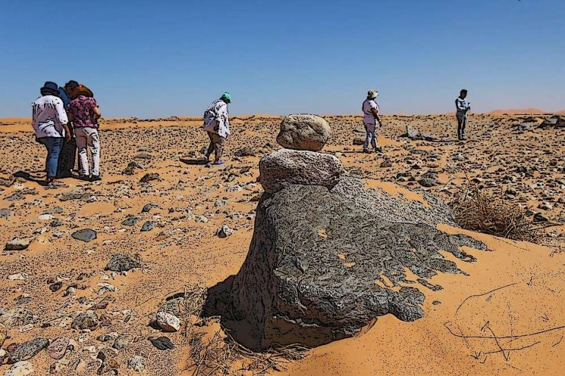
Local folklore suggests that the dunes of Merzouga were once a village submerged by sand. A specific geological feature known as the "Black Desert" lies to the west of the erg, characterized by volcanic rock formations.
Nearby Landmarks
- Rissani (20km Northwest)
- Erfoud (35km Southwest)
- Todra Gorge (120km West)
- Dades Valley (150km West)