Information
Landmark: Moka RangeCity: Moka
Country: Mauritius
Continent: Africa
Moka Range, Moka, Mauritius, Africa
The Moka Range is a volcanic mountain chain located in the central-western part of Mauritius, forming a semicircular arc around the capital city of Port Louis. It consists of several prominent peaks including Le Pouce, Pieter Both, and Mount Ory, serving as a natural topographical barrier between the coast and the central plateau.
Visual Characteristics
The range is characterized by jagged basaltic cliffs, steep ridges, and sharp volcanic plugs. Vegetation density varies from thick tropical scrub and invasive guava trees at the base to sparse endemic grasses and shrubs near the rocky summits. The rock composition is primarily dark grey basalt and phonolite. Several peaks exhibit unique silhouettes, such as the thumb-like protrusion of Le Pouce and the precariously balanced boulder at the apex of Pieter Both.
Location & Access Logistics
The range is centrally located, approximately 5 kilometers from Port Louis and 7 kilometers from Moka. Primary access points for hikers are situated at the Petit Verger trailhead in Moka or from the village of Saint Pierre. The B1 road (Moka Road) runs parallel to the southern base. Public bus transport is available via lines connecting Port Louis to Moka and Saint Pierre. Dedicated parking is limited to small dirt clearings at the trailheads.
Historical & Ecological Origin
The Moka Range was formed between 7 and 10 million years ago during the primary volcanic phase of Mauritius. It is part of the "Old Volcanic Series," representing the eroded remnants of a massive shield volcano's caldera wall. Ecologically, the range serves as a micro-refuge for endemic plant species, including the critically endangered Hibiscus genevii and several rare orchids that survive on the inaccessible cliff faces.
Key Highlights & Activities
Hiking is the primary activity, with the trail to the summit of Le Pouce (812 meters) being the most frequented; the final ascent requires a technical scramble. Rock climbing is practiced on specific basalt faces, particularly on Pieter Both, which requires ropes and professional guidance due to extreme exposure. Birdwatching for the endemic Mauritius Kestrel is possible along the lower forested slopes.
Infrastructure & Amenities
Infrastructure is minimal and categorized as primitive. There are no public restrooms, visitor centers, or potable water sources within the range boundaries. 4G and 5G cellular signals are generally strong at higher elevations but inconsistent in the deep ravines. Shade is abundant in the lower forested sections but absent on the exposed ridges and summits. Food vendors are not present; supplies must be obtained in Moka or Port Louis prior to arrival.
Best Time to Visit
The optimal period for trekking is the dry season from May to October. Early morning departures at approximately 07:00 are recommended to avoid midday heat and to ensure clear views before the daily cloud cover develops over the central plateau. Photography is best during the "golden hour" shortly after sunrise when the eastern light illuminates the western faces of the peaks.
Facts & Legends
Pieter Both, the second-highest peak, is named after the first Governor-General of the Dutch East Indies. Local legend suggests that the massive rock perched on its summit is a petrified milkman who was punished for breaking a pact with mountain fairies. Another historical fact is that the range provided a strategic lookout and hideout for marooned slaves due to its rugged and nearly inaccessible terrain.
Nearby Landmarks
Le Pouce Mountain: 0.1km (Internal to range)
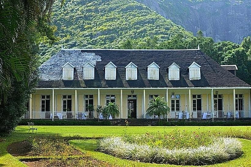
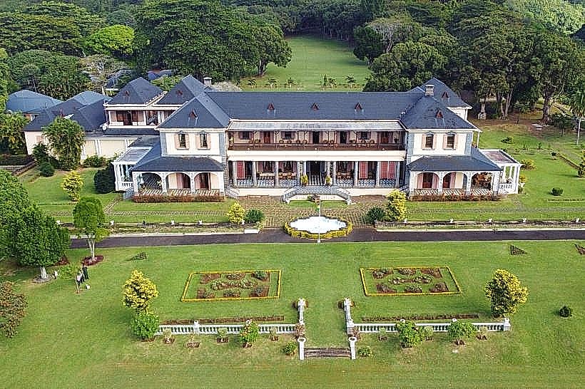
State House (Le Réduit): 3.5km South
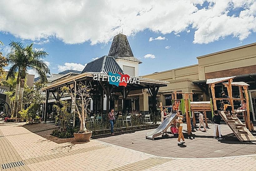
Bagatelle Mall: 3.8km South
Pamplemousses Botanical Garden: 4.5km Northeast
Citadel Fort Adelaide: 4.2km Northwest