Information
Landmark: Monon TrailCity: Carmel
Country: USA Indiana
Continent: North America
Monon Trail, Carmel, USA Indiana, North America
The Monon Trail is a paved multi-use recreational path located in Carmel, Indiana. It extends for 14 miles, connecting various parks and neighborhoods within the city.
Visual Characteristics
The trail surface is primarily asphalt, measuring approximately 10-12 feet in width. It is bordered by mowed grass, trees, and occasional landscaping. The path is generally flat with gentle inclines in some sections. Signage is present at intersections and mile markers.
Location & Access Logistics
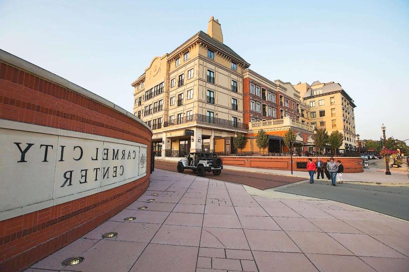
The Monon Trail runs north-south through Carmel. Access points are numerous. Major entry points include Central Park West (141st Street), Carmel City Center (City Hall area), and the intersection with 96th Street. Parking is available at designated lots at most major access points, including Central Park West and the Carmel City Center parking garage. Public transport options directly serving the trail are limited; nearest bus routes operate on parallel arterial roads such as Range Line Road.
Historical & Ecological Origin
The Monon Trail follows the former right-of-way of the Chicago, Indianapolis and Louisville Railway, commonly known as the Monon Railroad. The railroad line was established in the late 19th century. The trail conversion began in the late 1990s, with significant development occurring in the early 2000s.
Key Highlights & Activities
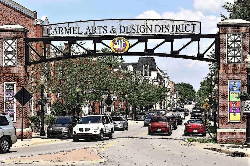
Activities include cycling, running, walking, and rollerblading. The trail passes through several parks, offering opportunities for picnicking and playground use. Specific sections are designated for fishing access along the adjacent waterways. The Carmel City Center section provides direct access to retail and dining establishments.
Infrastructure & Amenities
Restrooms are available at major park access points, such as Central Park West and Founders Park. Shade is provided by mature trees along many sections. Cell phone signal (4G/5G) is generally consistent along the trail. Food vendors are not directly on the trail but are accessible in commercial areas adjacent to the path, particularly in the Carmel City Center.
Best Time to Visit
For optimal lighting for photography, early morning (7:00 AM - 9:00 AM) and late afternoon (4:00 PM - 6:00 PM) offer softer light. The best months for weather are April through October, with May and September offering moderate temperatures. The trail is accessible year-round, though winter conditions may affect surface usability.
Facts & Legends
A unique feature is the "Monon Trail Bridge" over 116th Street, a pedestrian bridge that allows uninterrupted passage. Local lore sometimes refers to the trail as a "green ribbon" connecting the community.
Nearby Landmarks
- Central Park West (0.1km West)
- Carmel City Center (1.5km South)
- Founders Park (2.0km North)
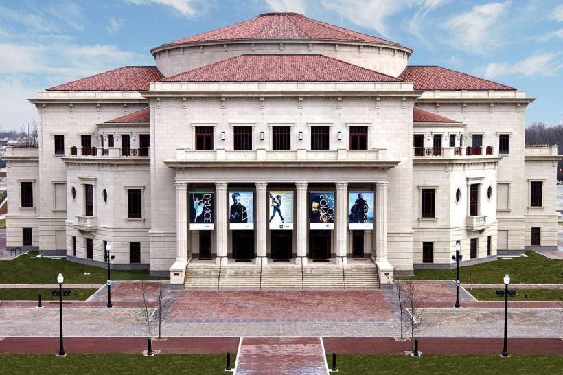
- The Palladium (1.8km South)
- Clay Terrace Outdoor Shopping Center (3.5km North)