Information
Landmark: Mont LachatreCity: Hinche
Country: Haiti
Continent: North America
Mont Lachatre, Hinche, Haiti, North America
Mont Lachatre is a significant geological formation located near Hinche, Haiti.
This natural elevation provides a vantage point over the surrounding landscape.
Visual Characteristics
Mont Lachatre presents as a series of weathered limestone hills. The dominant colors are earthy browns and grays, with patches of green vegetation, primarily scrub brush and scattered trees, clinging to its slopes. The elevation reaches approximately 300 meters above the surrounding plains.
Location & Access Logistics
Mont Lachatre is situated approximately 8 kilometers southwest of Hinche. Access is via Route Nationale 3 (RN3) heading towards Mirebalais. Turn off RN3 onto a gravel road marked by a small, unpaved track approximately 5 kilometers past the town limits of Hinche. This track is passable by 4x4 vehicles, especially during the dry season (November to April). During the wet season, the track can become muddy and difficult to traverse. There is no designated parking; vehicles are typically parked at the base of the accessible slopes. Public transport to Hinche is available via shared taxis and buses from Port-au-Prince. From Hinche, local moto-taxis can be hired to reach the vicinity of Mont Lachatre, though they may not be able to ascend the final track.
Historical & Ecological Origin
Mont Lachatre is composed of sedimentary rock, primarily limestone, formed during the Cenozoic Era. Its current topography is the result of long-term erosion by wind and water acting upon these geological strata. Ecologically, it represents a dry tropical forest ecosystem, adapted to the region's climate.
Key Highlights & Activities
Ascending Mont Lachatre offers panoramic views of the Central Plateau. Hiking the less steep western slopes is possible. Observation of local bird species is a primary activity. Photography of the landscape is recommended during morning and late afternoon hours for optimal lighting.
Infrastructure & Amenities
There are no developed infrastructure or amenities at Mont Lachatre. Restrooms, shade structures, and food vendors are not present. Cell phone signal (2G/3G) is intermittent and unreliable at the base of the formation and absent on the higher slopes.
Best Time to Visit
The best time for visiting is during the dry season, from November to April. The early morning (7:00 AM - 9:00 AM) and late afternoon (4:00 PM - 6:00 PM) provide the most favorable lighting conditions for photography. Avoid visiting during the midday heat, especially between June and October, due to high temperatures and potential for heavy rainfall.
Facts & Legends
Local folklore suggests that during periods of drought, elders would ascend Mont Lachatre to perform rituals, believing the elevation brought them closer to the sky for rain. Geologically, the limestone formations contain fossilized marine life, indicating the area was once submerged under the sea millions of years ago.
Nearby Landmarks
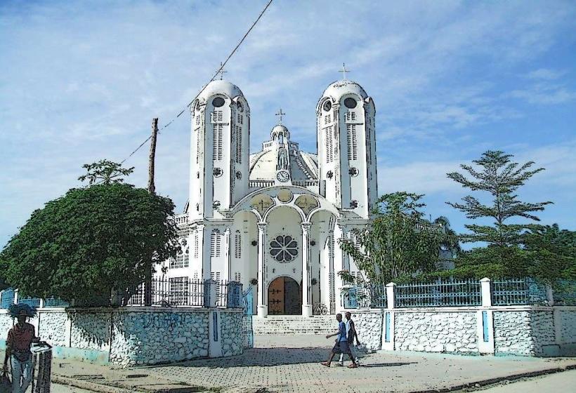
- Cathédrale Sainte-Trinité de Hinche (5.5km Northeast)
- Marché de Hinche (6km Northeast)
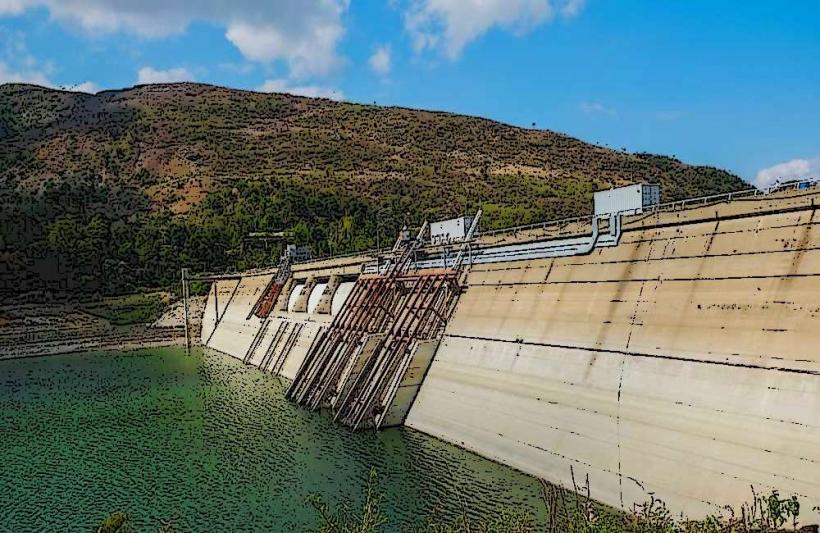
- Lac de Peligre (15km West)
- Fort des Platons (22km Southwest)