Information
Landmark: Montagne des OliviersCity: Mirebalais
Country: Haiti
Continent: North America
Montagne des Oliviers, Mirebalais, Haiti, North America
Montagne des Oliviers is a prominent hill located near Mirebalais, Haiti.
This geological formation offers a distinct elevation within the surrounding landscape.
Visual Characteristics
The hill is characterized by its moderate elevation and slopes covered with scrub vegetation and scattered trees, primarily olive trees. The soil appears to be a mix of clay and rock. The summit provides a panoramic view of the Artibonite River valley and the town of Mirebalais.
Location & Access Logistics
Montagne des Oliviers is situated approximately 3 kilometers west of the center of Mirebalais. Access is via Route Nationale 1 (RN1) heading west from Mirebalais. Turn north onto a dirt road approximately 2 kilometers past the town limits. This road leads directly to the base of the hill. Parking is available at the base of the hill on a cleared, unpaved area. No public transport directly serves the hill; local taxis or private vehicles are required.
Historical & Ecological Origin
The hill is a natural geological formation, likely composed of sedimentary rock uplifted over time. Its ecological designation is dry tropical forest, adapted to the region's climate. The presence of olive trees, though not native, has contributed to its name.
Key Highlights & Activities
Hiking to the summit is the primary activity. The ascent takes approximately 45 minutes to 1 hour at a moderate pace. Observation of local flora and fauna is possible. Photography of the valley landscape from the summit is recommended.
Infrastructure & Amenities
There are no developed infrastructure or amenities on Montagne des Oliviers. Restrooms, shade structures, and food vendors are not present. Cell phone signal (2G/3G) is intermittent at the base and generally unavailable at the summit.
Best Time to Visit
The best time for visiting is during the dry season, from November to April. For photography, early morning (7:00 AM - 9:00 AM) offers softer light and clearer views. Late afternoon (4:00 PM - 5:30 PM) also provides favorable lighting conditions.
Facts & Legends
Local lore suggests that during periods of drought, residents would ascend Montagne des Oliviers to pray for rain, believing the higher elevation brought them closer to divine intervention. The name "Montagne des Oliviers" (Hill of Olives) is attributed to the historical cultivation of olive trees in the area, though their presence is now sparse.
Nearby Landmarks
- Lac de Peligre (10km Southwest)
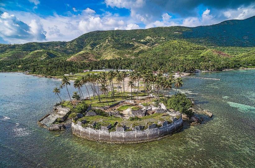
- Fort des Platons (8km Northeast)
- Mirebalais Cathedral (3km East)
- Artibonite River (2km South)