Information
Landmark: Moule a Chique LighthouseCity: Vieux Fort
Country: Saint Lucia
Continent: North America
Moule a Chique Lighthouse, Vieux Fort, Saint Lucia, North America
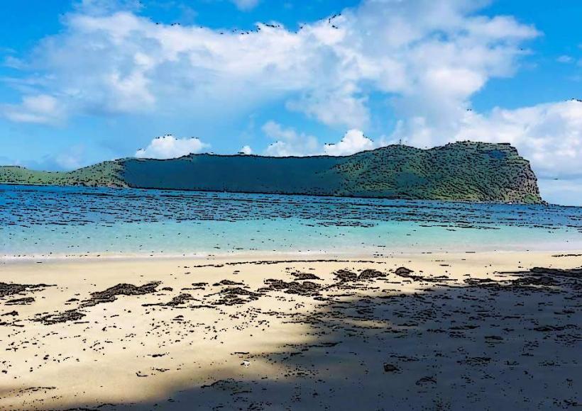
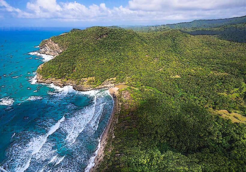
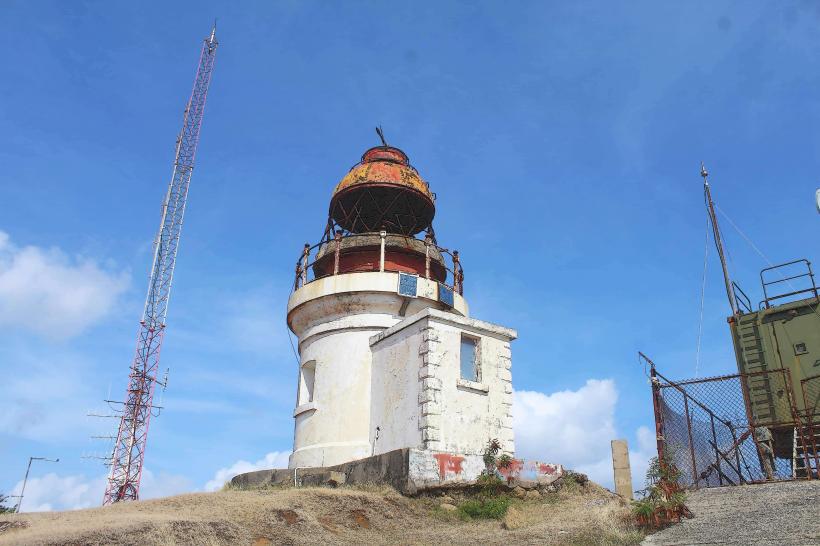
The Moule a Chique Lighthouse is a navigational aid located at the southern tip of Saint Lucia, near the town of Vieux Fort.
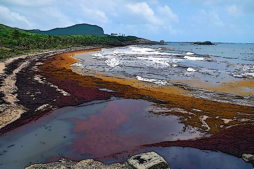
It is situated on a prominent headland overlooking the Caribbean Sea and the Atlantic Ocean.
Visual Characteristics
The lighthouse is a cylindrical concrete tower, painted white. It stands approximately 21 meters (70 feet) tall. The lantern room at the top is enclosed by glass panels and topped with a metal dome.
Location & Access Logistics
The lighthouse is located at the southern extremity of Saint Lucia, approximately 3 kilometers (1.9 miles) south of Vieux Fort. Access is via a paved, albeit steep, road that branches off the main coastal road (A1). Parking is available at the base of the lighthouse. Public transport does not directly service the lighthouse; visitors typically arrive by private vehicle or taxi from Vieux Fort.
Historical & Ecological Origin
The Moule a Chique Lighthouse was constructed in 1914. Its primary purpose was to guide ships navigating the waters around the southern tip of the island, a historically significant shipping route. The headland itself is composed of volcanic rock formations.
Key Highlights & Activities
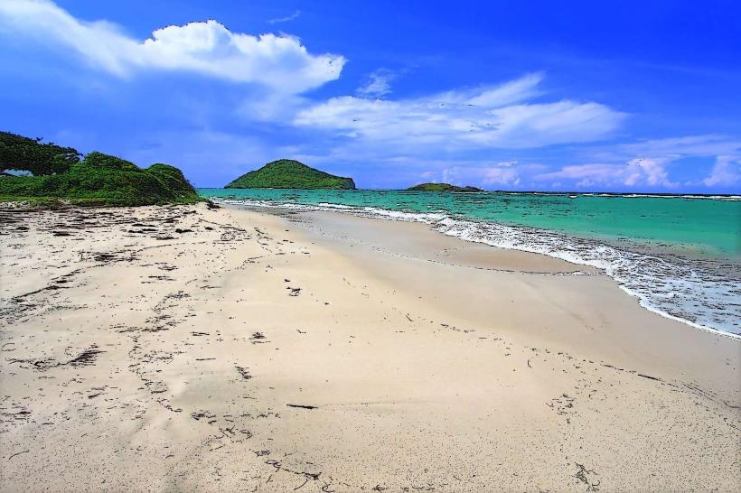
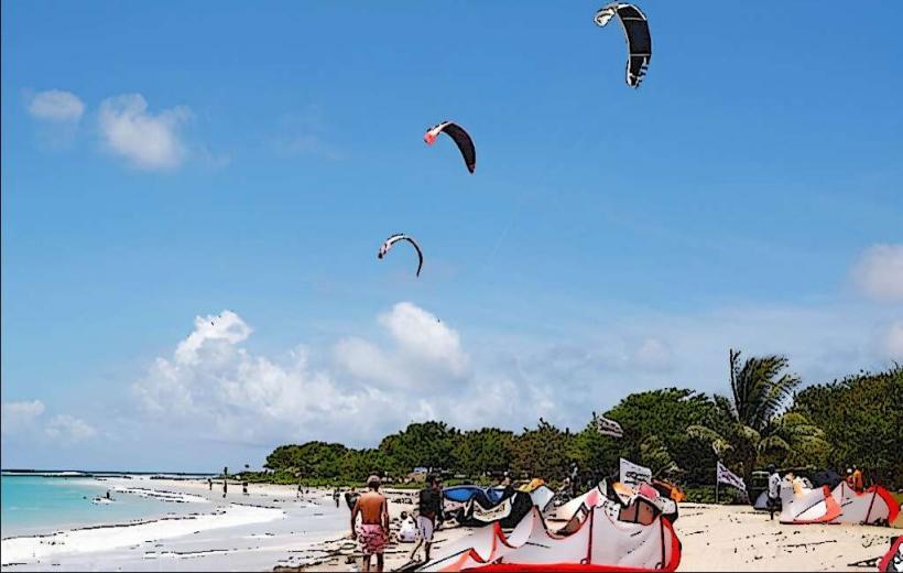
Visitors can ascend the lighthouse for panoramic views of the surrounding coastline, including Maria Islands Nature Reserve and the town of Vieux Fort. Observation decks are present at various levels. Birdwatching opportunities exist due to the coastal environment.
Infrastructure & Amenities
Restrooms are available at the base of the lighthouse. Limited shade is provided by the structure itself. Cell phone signal (4G/5G) is generally available in the area. No food vendors are permanently stationed at the lighthouse; visitors should bring provisions or plan to eat in Vieux Fort.
Best Time to Visit
For photography, the late afternoon offers favorable lighting conditions as the sun sets over the western horizon. The dry season, from December to May, generally provides the most stable weather. There are no tide-dependent activities associated with visiting the lighthouse.
Facts & Legends
The headland on which the lighthouse stands is known as Moule a Chique, which translates to "Chic Mold" or "Chic Shape" in French, likely referring to its distinctive profile. A local anecdote suggests that on exceptionally clear days, it is possible to see the island of Martinique to the north.
Nearby Landmarks
- Maria Islands Nature Reserve (1.5km Northeast)
- Vieux Fort Town Centre (3km Northwest)
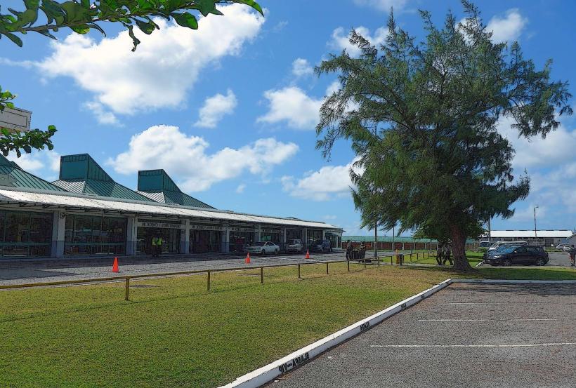
- Hewanorra International Airport (UVF) (6km North)
- Pointe Sable National Park (4km North)