Information
Landmark: Mount Washington ValleyCity: Conway NH
Country: USA New Hampshire
Continent: North America
Mount Washington Valley, Conway NH, USA New Hampshire, North America
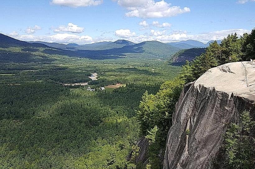
Mount Washington Valley is a geographical region located in Carroll County, New Hampshire, USA. It is characterized by a series of valleys and mountains, with Mount Washington being the highest peak in the northeastern United States.
Visual Characteristics
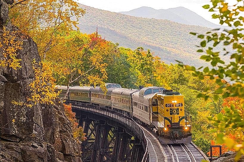
The valley floor is primarily composed of glacial till and outwash plains, with elevations ranging from approximately 600 feet (180 meters) near Conway to over 3,000 feet (910 meters) in the surrounding mountain ranges. Vegetation is dense, consisting of mixed hardwood and coniferous forests, with deciduous trees dominating lower elevations and spruce-fir forests at higher altitudes. The Saco River flows through the valley, its color varying from clear to a sediment-laden brown depending on recent rainfall. Rock formations are predominantly granite and metamorphic schists, with evidence of glacial scouring visible on many exposed surfaces.
Location & Access Logistics
Mount Washington Valley is situated in eastern New Hampshire. The primary access point is via U.S. Route 302, which runs east-west through the valley, connecting Conway to Crawford Notch. New Hampshire Route 16 (the White Mountain Turnpike) provides north-south access, connecting the valley to the Maine border and points north. Conway is approximately 100 miles (160 km) north of Boston, Massachusetts. Parking is available at various trailheads and designated visitor areas, though capacity can be limited during peak seasons. Public transport options are minimal; however, seasonal shuttle services may operate to specific trailheads from towns like North Conway.
Historical & Ecological Origin
The valley was shaped by glacial activity during the Pleistocene epoch. Retreating glaciers carved out the U-shaped valleys and deposited moraines and outwash plains. The region's ecological classification is temperate deciduous forest transitioning to boreal forest at higher elevations. Historically, the area was inhabited by Native American tribes before European settlement in the 18th century. Logging and tourism have been significant economic drivers since the 19th century.
Key Highlights & Activities
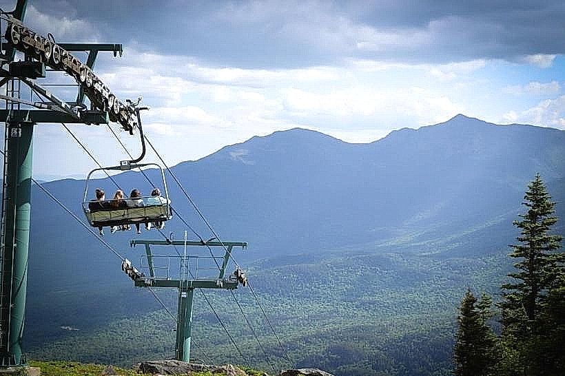
Hiking is a primary activity, with trails ranging from easy valley walks to strenuous mountain ascents. Specific trails include the Mount Willard Trail, Arethusa Falls Trail, and sections of the Appalachian Trail. Scenic drives are possible along Route 302 and the Kancamagus Highway (NH-112), which skirts the southern edge of the valley. Rock climbing opportunities exist on granite faces. In winter, activities include skiing at resorts like Cranmore Mountain Resort and Attitash Mountain Resort, and snowshoeing.
Infrastructure & Amenities
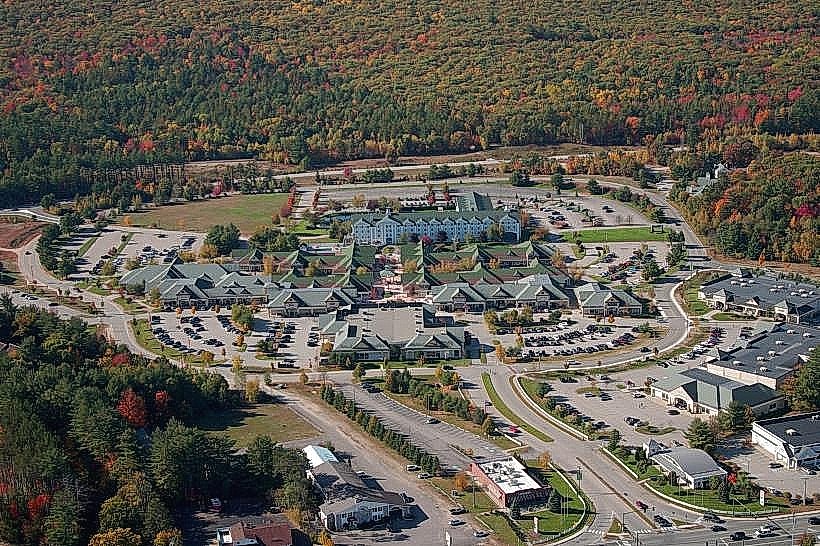
Restrooms are available at major trailheads, visitor centers, and in the towns within the valley. Shade is abundant in forested areas. Cell phone signal (4G/5G) is inconsistent, particularly at higher elevations and in remote sections of the valley. Food vendors and restaurants are concentrated in towns such as North Conway, Conway, and Jackson.
Best Time to Visit
For hiking and general sightseeing, the best months are from late May to mid-October. Fall foliage, typically peaking in early to mid-October, offers distinct visual characteristics. For photography, early morning and late afternoon light provides optimal conditions for landscape shots. High tide is not a relevant factor for this inland mountainous region.
Facts & Legends
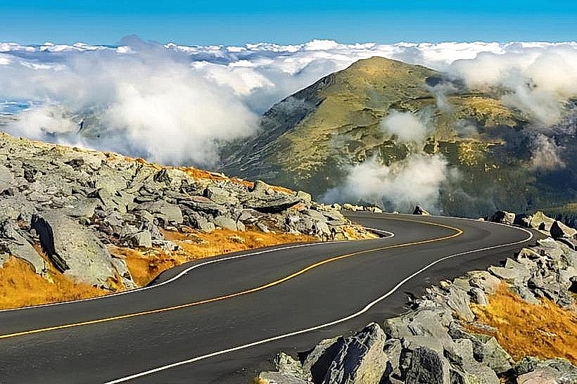
Mount Washington is notorious for its extreme weather. The highest wind gust ever recorded on Earth, 231 mph (372 km/h), was measured at the summit observatory on April 12, 1934. A local legend speaks of the "White Lady of the Notch," a spirit said to wander Crawford Notch, though this is more associated with the adjacent notch than the valley floor itself.
Nearby Landmarks
- Crawford Notch State Park (3km Northwest)
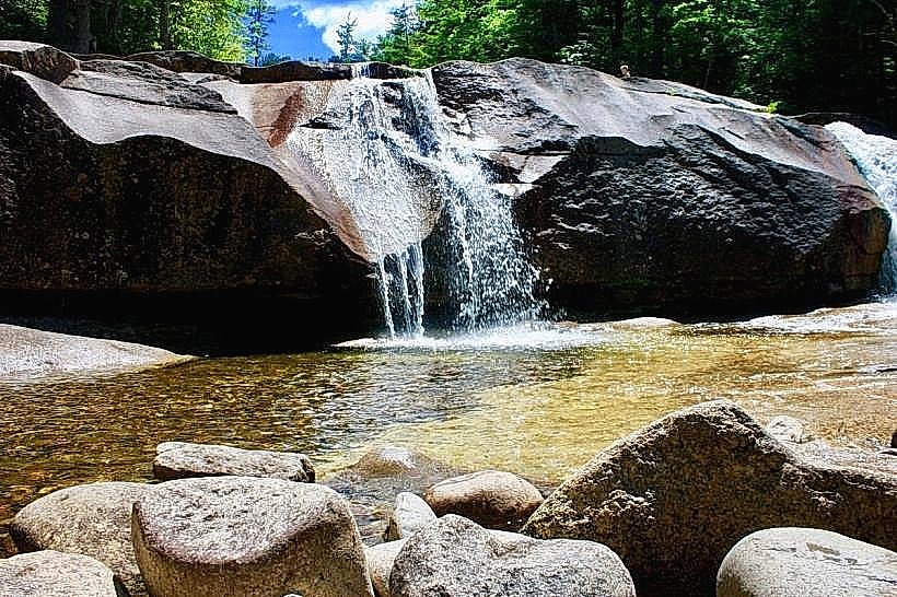
- Diana's Baths (4km West)
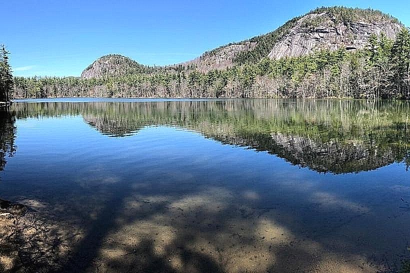
- Echo Lake State Park (5km Southwest)
- White Horse Ledge (4.5km West)
- Saco River (0.1km East)