Information
Landmark: Mudeungsan National ParkCity: Gwangju
Country: South Korea
Continent: Asia
Mudeungsan National Park, Gwangju, South Korea, Asia
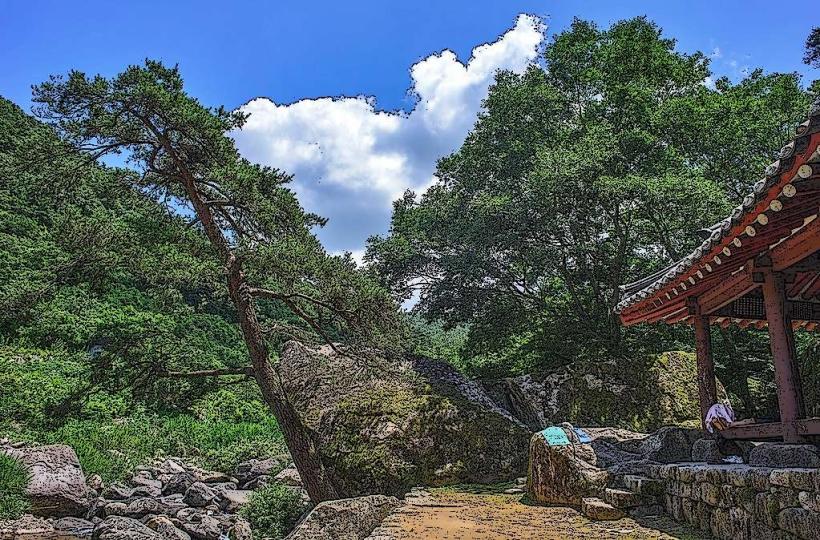
Mudeungsan National Park is a protected mountainous region located in Gwangju, South Korea.
This park is characterized by its unique geological formations and diverse flora and fauna.
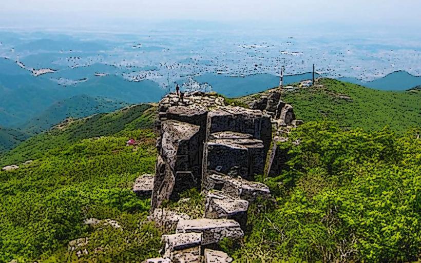
Visual Characteristics
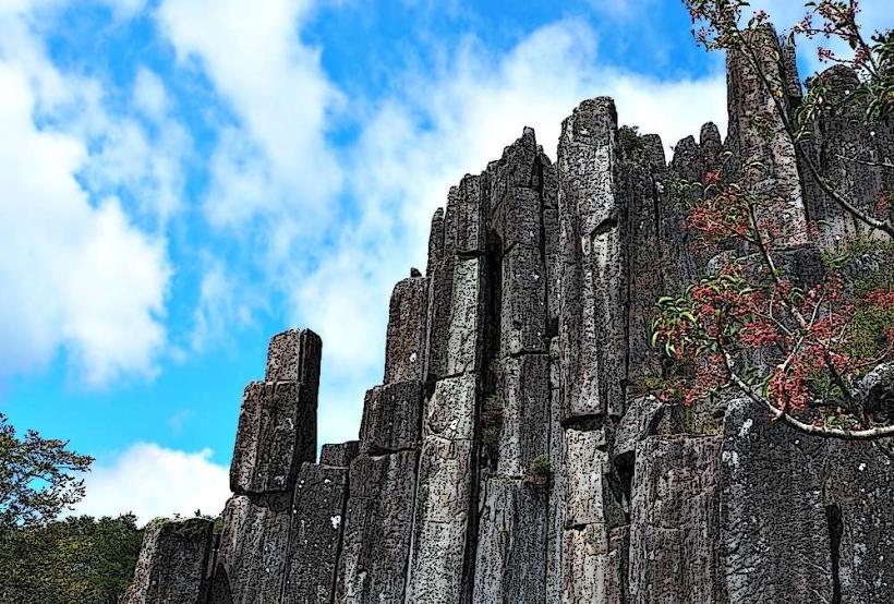
The park's most distinctive features are its columnar jointing rock formations, particularly the Seoseokdae and Ipseokdae cliffs, composed of andesite. Elevations range from approximately 300 meters to the summit of Cheonwangbong at 1,187 meters. Vegetation includes temperate deciduous forests with oak and pine species, transitioning to alpine flora at higher altitudes. Seasonal changes are pronounced, with green foliage in summer, vibrant colors in autumn, and snow cover in winter.
Location & Access Logistics
Mudeungsan National Park is situated approximately 10 kilometers northeast of Gwangju city center. Access is primarily via National Road 22 and Provincial Road 55. Several parking lots are available at trailheads, including the main parking area at Wonhyo Temple entrance. Public transport options include Gwangju City Bus lines 1187 (from Gwangju Station) and 1187-1 (from Hakdong), which terminate at the park entrance. A shuttle bus operates during peak seasons.
Historical & Ecological Origin
The park's geological formations are the result of volcanic activity approximately 85 million years ago during the Cretaceous period, leading to the formation of andesite lava flows that cooled and fractured into the characteristic columnar joints. Mudeungsan was designated a Provincial Park in 1972 and elevated to National Park status in 2013. Ecologically, it represents a transition zone between temperate and subalpine ecosystems.
Key Highlights & Activities
Hiking is the primary activity, with numerous trails ranging from easy walks to challenging ascents. Notable trails include the route to Seoseokdae and Ipseokdae, the ascent to Cheonwangbong, and the path to Jeungsimsa Temple. Rock climbing is permitted in designated areas. Photography opportunities are abundant, especially for the geological formations and seasonal landscapes. Temple visits to Jeungsimsa and Yaksaam are also popular.
Infrastructure & Amenities
Restrooms are available at major trailheads and temple sites. Shade is provided by the forest canopy along most trails. Cell phone signal (4G/5G) is generally available in lower elevations and near park entrances, but can be intermittent at higher altitudes. Food vendors and small restaurants are located near the main park entrances and at Jeungsimsa Temple.
Best Time to Visit
For photography of the columnar jointing, early morning or late afternoon light provides optimal contrast. The best months for hiking are April to May for spring wildflowers and October to November for autumn foliage. Summer (June-August) can be hot and humid with potential for heavy rainfall. Winter (December-February) offers snowshoeing opportunities but requires appropriate gear due to icy conditions. High tide is not a relevant factor for this inland park.
Facts & Legends
A local legend states that the Seoseokdae and Ipseokdae rock formations were created by a giant who used them as stepping stones. A verified historical oddity is the presence of ancient dolmens scattered throughout the park, indicating prehistoric human settlement. A specific tip for visitors is to check the weather forecast before ascending to Cheonwangbong, as conditions can change rapidly at the summit.
Nearby Landmarks
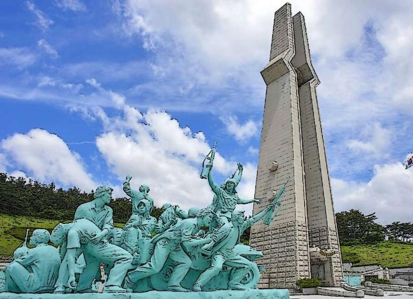
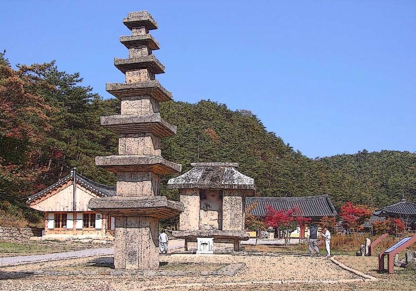
- Jeungsimsa Temple (0.2km West)
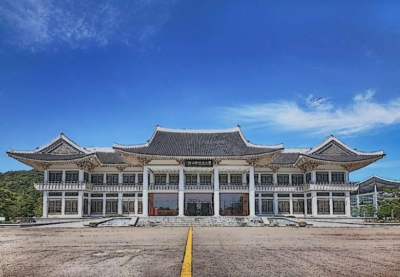
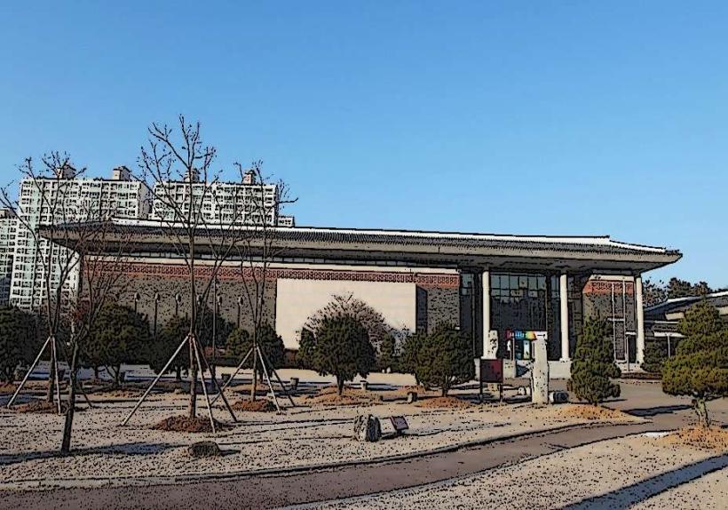
- Gwangju National Museum (7.5km Southwest)
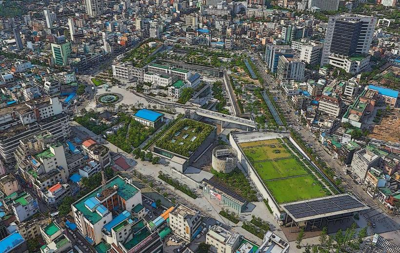
- Asia Culture Center (9.0km Southwest)
- Uijae Art Museum (3.5km West)
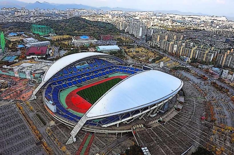
- Gwangju World Cup Stadium (8.0km Southwest)