Information
Landmark: Mykonos WindmillsCity: Mykonos
Country: Greece
Continent: Europe
Mykonos Windmills, Mykonos, Greece, Europe
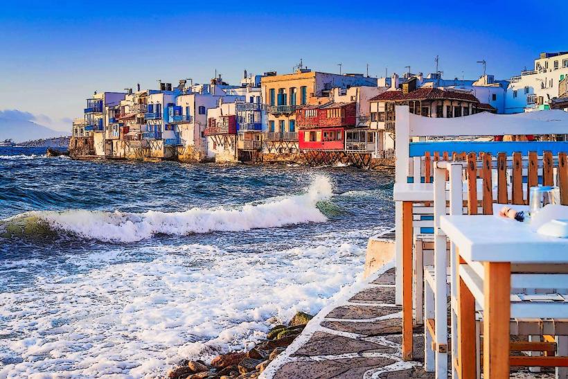
The Mykonos Windmills (Kato Mili) are a group of iconic 16th-century structures located on a landmark hill overlooking the Little Venice district in Mykonos Town (Chora). They are the primary visual symbol of the island's pre-industrial economy.
Visual Characteristics
The windmills are heavy, cylindrical stone towers finished in white lime-wash. They feature small windows and conical thatched roofs made of straw. Each mill originally possessed 12 wooden arms with triangular fabric sails designed to catch the high-velocity "Meltemi" winds. Of the original 28 windmills on the island, seven are preserved in this specific row, oriented toward the north.
Location & Access Logistics
Position: Situated on a plateau at the southwestern edge of the harbor.
Access: Strictly pedestrian from the center of Chora or via a short walk from the Fabrika bus station.
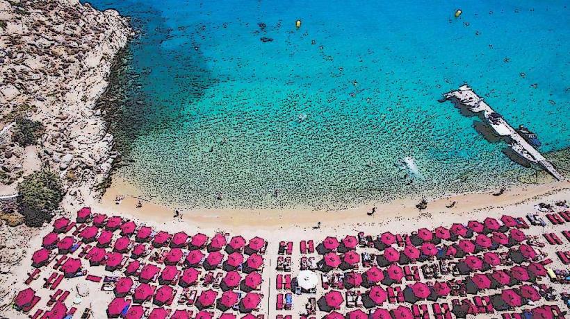
Transit: The Fabrika station (0.4km away) serves the southern beaches (Platys Gialos, Psarou).
Parking: A large public dirt lot is located directly adjacent to the windmills, though it is frequently saturated during the summer.
Historical & Ecological Origin
Built by the Venetians in the 16th century, the windmills were operational until the early 20th century. They functioned as industrial flour mills, grinding locally grown wheat and barley for the island's inhabitants and for the provisioning of passing merchant ships. Their location was strategically chosen to exploit the constant northern winds. The structures were built with thick masonry to withstand the extreme wind pressure.
Key Highlights & Activities
The Geronymos Mill: One of the oldest mills, which occasionally opens its interior to the public for viewing of the original grinding mechanism.
Sunset Viewing: The site offers an unobstructed western view over the Aegean toward the island of Baos and the sacred island of Delos.
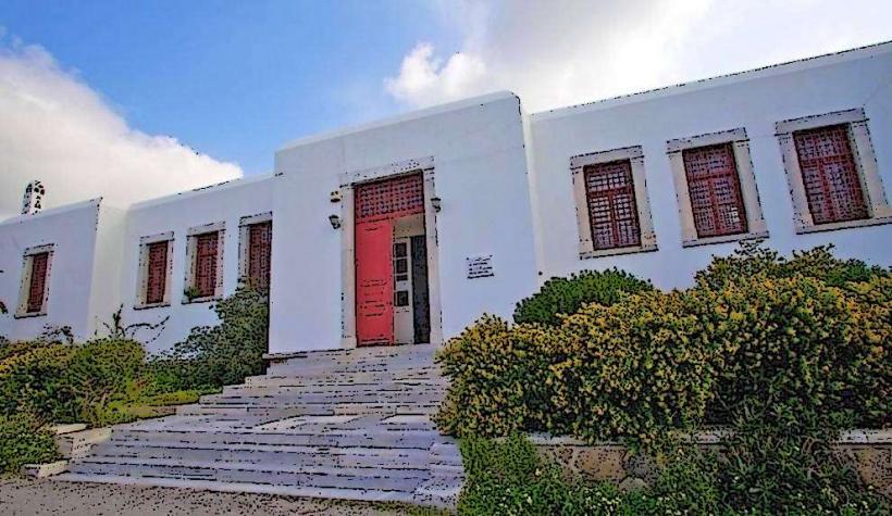
Agricultural Museum: Located at the Boni Windmill (separate from the Kato Mili row, on the upper part of town), which allows interior tours of the milling equipment.
Infrastructure & Amenities
The area is an open-air public site. There are no entrance fees. The ground is composed of compacted dirt and gravel, which can be dusty or muddy depending on the weather. 5G cellular signal is stable. Public restrooms are available at the nearby Fabrika bus station. Commercial amenities (cafes, shops) are located 200 meters away in the Little Venice district.
Best Time to Visit
Morning (07:00–09:00): Best for photography without large crowds or tour groups.
Sunset: The most congested period. Thousands of visitors congregate on the hill; arrival 60 minutes prior is necessary for a clear line of sight.
Wind Conditions: On days with a strong "Meltemi" (Force 6 or higher), the hilltop experiences extreme gusts; secure loose items and eyewear.
Facts & Legends
A verified historical fact is that Mykonos was chosen as a milling hub because it sat at a crucial intersection of Mediterranean trade routes, and its wind consistency was superior to other Cycladic islands. Local lore maintains that the wealth of Mykonos was built on "white gold"-the flour produced by these mills-long before the advent of tourism.
Nearby Landmarks
Little Venice: 0.2km North (downhill)
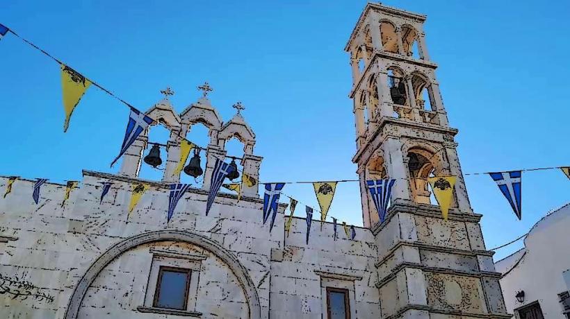
Panagia Paraportiani: 0.4km North
Fabrika Square: 0.4km East
Old Port of Mykonos: 0.8km North