Information
Landmark: O Quy Ho PassCity: Sapa
Country: Vietnam
Continent: Asia
O Quy Ho Pass, Sapa, Vietnam, Asia
O Quy Ho Pass is a mountain pass located in the Hoang Lien Son mountain range, connecting the provinces of Lai Chau and Lao Cai in Vietnam.
It is one of the four great passes of Vietnam.
Visual Characteristics
The pass features steep, winding roads with an elevation of approximately 1,500 meters (4,900 feet) above sea level. The surrounding landscape consists of dense, green vegetation covering the mountainsides, with occasional rock outcrops. The road surface is primarily asphalt. Visibility can be significantly reduced by fog, particularly during certain seasons.
Location & Access Logistics
O Quy Ho Pass is situated approximately 15 kilometers (9.3 miles) west of Sapa town. Access is via National Route 4D. The road is paved and suitable for vehicles. Parking is available at designated viewpoints along the pass, though it can be limited during peak times. Public transport options include local buses traveling between Sapa and Lai Chau, which stop at the pass. Private taxis and motorbikes are also common modes of transport.
Historical & Ecological Origin
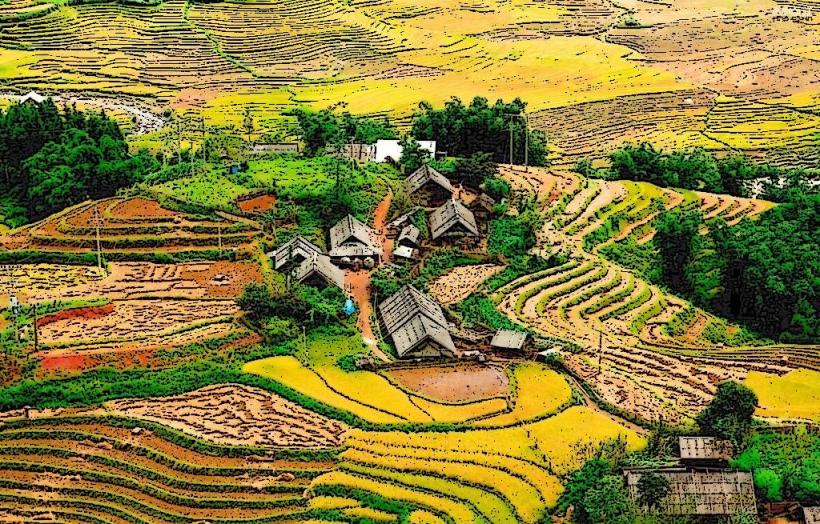
The pass was historically a challenging route for local communities and traders. Its ecological significance lies within the Hoang Lien Son mountain range, a biodiversity hotspot with diverse flora and fauna. The geological formation is characteristic of the Indochinese Peninsula's mountain systems, shaped by tectonic activity and erosion over millennia.
Key Highlights & Activities
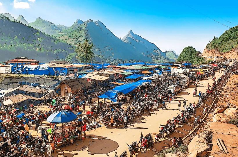
Visitors can drive or ride across the pass, stopping at viewpoints for observation. Photography of the mountain scenery is a primary activity. Some local vendors offer refreshments and souvenirs at the summit. Hiking opportunities exist on trails branching off the main road, though these are not formally maintained.
Infrastructure & Amenities
Basic amenities are available at the summit, including small food stalls and souvenir shops. Restrooms are present but may be rudimentary. Shade is limited to the structures of the vendors. Cell phone signal (4G/5G) is generally available but can be intermittent in certain sections of the pass.
Best Time to Visit
The best time of day for photography is generally late morning or early afternoon when sunlight can penetrate the fog. The dry season, from October to April, offers clearer conditions. During the rainy season (May to September), fog is more prevalent, impacting visibility but creating a distinct atmosphere. High winds can occur year-round.
Facts & Legends
The pass is named after the sound of a bird's call, "O Quy Ho." Local legend speaks of a fairy who fell in love with a woodcutter and was separated by the mountain, her cries echoing through the pass. A unique tip for visitors is to be aware of the significant temperature drop at higher elevations compared to Sapa town.
Nearby Landmarks
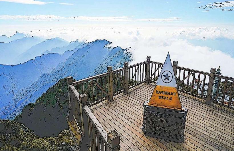
- Fansipan Mountain (10km Southeast)
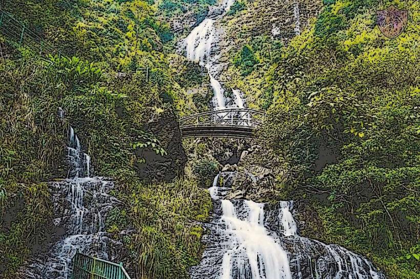
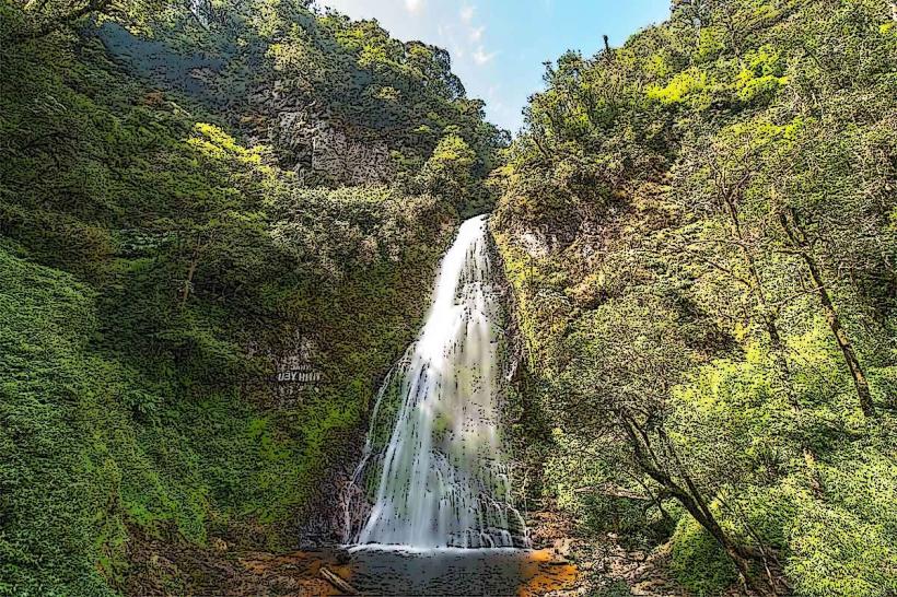
- Silver Waterfall (Thac Bac) (8km Southeast)
- Love Waterfall (Thac Tinh Yeu) (12km Southeast)
- Sapa town center (15km East)