Information
Landmark: O'Connell StreetCity: Limerick
Country: Ireland
Continent: Europe
O'Connell Street, Limerick, Ireland, Europe
O’Connell Street is the primary commercial and retail thoroughfare of Limerick City. It forms the central spine of the Newtown Pery district, a planned Georgian grid system established in the late 18th century.
Visual Characteristics
The street is characterized by a mix of 18th-century Georgian red-brick architecture and 19th-to-20th-century commercial facades.
The O’Connell Monument: A large bronze statue of Daniel O’Connell, "The Liberator," stands on a high limestone pedestal at the southern junction with Crescent Avenue.
Urban Design: Recent redevelopment has converted significant sections into a "shared space" environment with wide granite paving, high-quality street furniture, and reduced vehicular lanes to prioritize pedestrians.
Location & Access Logistics
Position: Runs North-South from Rutland Street to The Crescent.
Transit: 0.4km west of Limerick Colbert Station. It is a major hub for city bus routes (301, 302, 304, etc.) with multiple stops along its length.
Parking: On-street disk parking is extremely limited. Use the Q-Park Harvey’s Quay or Aviary Car Park (within 0.3km).
Accessibility: The 2023 revitalization project ensured level access across the street, featuring tactile paving and wide walkways for mobility devices.
Historical Origin
Newtown Pery (1765): Named after the developer Edmond Sexton Pery, the street was originally called George’s Street in honor of King George III.
Renaming: Post-independence, it was renamed in honor of Daniel O’Connell, the Irish political leader who secured Catholic Emancipation in 1829.
Commercial Core: In the 19th century, it became the prestigious address for the city’s professional classes and major department stores like Brown Thomas (formerly Cannock’s).
Key Highlights & Activities
Retail: Hosts major retailers, including Brown Thomas and various international brands, alongside local boutiques.
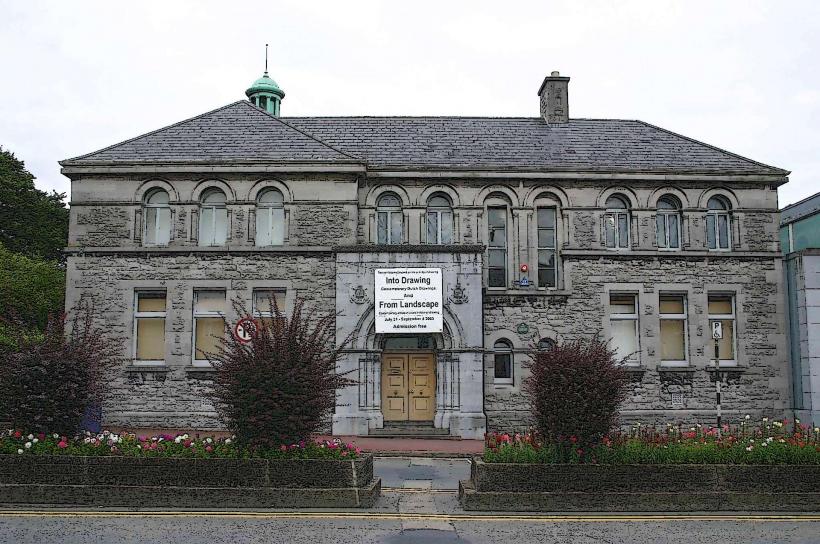
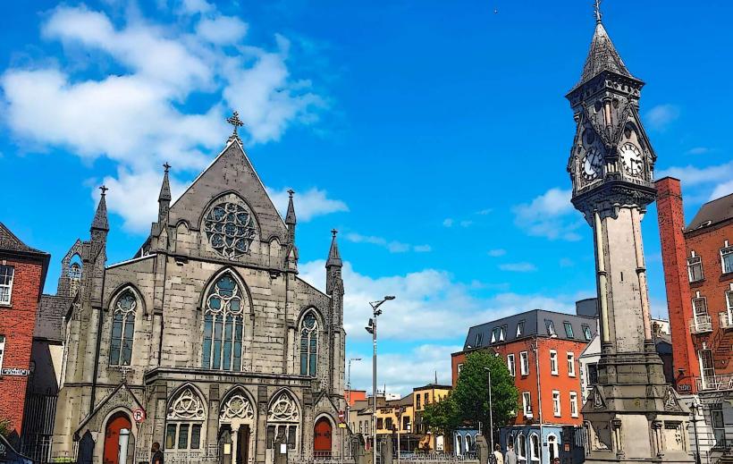
The Augustinian Church: A notable 19th-century church with a distinctive facade integrated into the streetscape.
Culinary District: The northern end and adjacent side streets (Bedford Row, Thomas Street) contain a high density of cafes and restaurants.
Infrastructure & Amenities
Connectivity: Consistent 5G and 4G coverage. Public Wi-Fi is available through municipal hotspots.
Sanitation: No standalone public restrooms on the street; facilities are found in the Arthur’s Quay Shopping Centre (0.2km) or department stores.
Shared Space: Features integrated seating areas and modern LED street lighting.
Best Time to Visit
Activity: 10:00–17:00 for retail and commercial services.
Photography: Early morning offers clear views of the long Georgian perspective before peak traffic and delivery vehicles arrive.
Events: The street is the primary route for the St. Patrick’s Day Parade and the International Limerick Band Festival.
Facts & Legends
The O’Connell Monument (1857) was the first statue erected in Ireland to honor Daniel O’Connell. A verified architectural detail is the presence of original 18th-century "coal holes" in the pavement-circular iron covers used to deliver fuel to the basements of the Georgian townhouses.
Nearby Landmarks
Arthur's Quay Park – 0.1km North
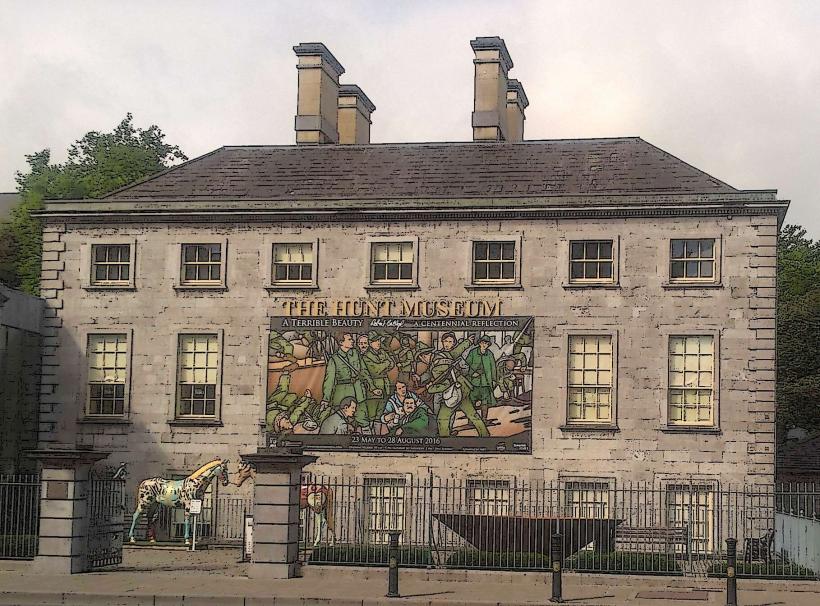
The Hunt Museum – 0.2km North
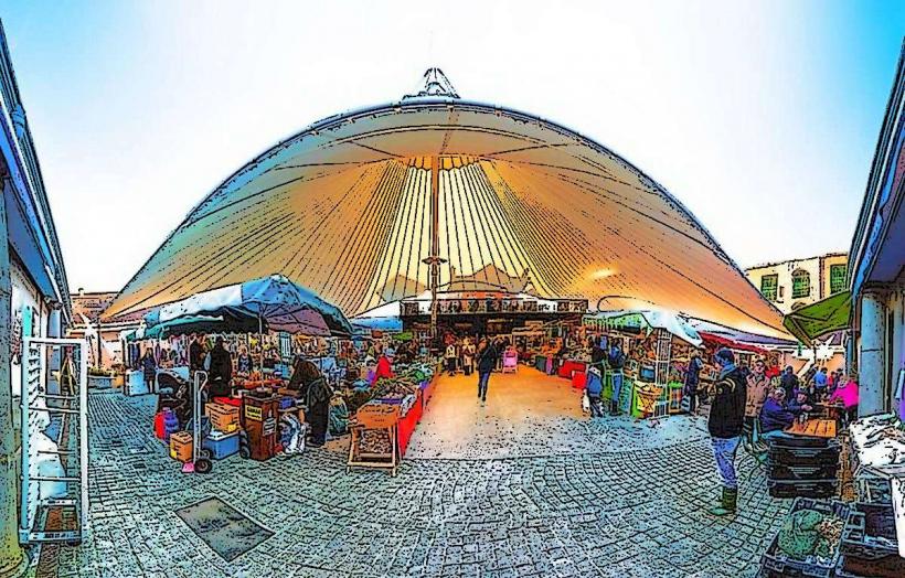
The Milk Market – 0.5km East
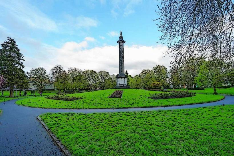
People's Park – 0.4km South
St. Mary's Cathedral – 0.8km North