Information
Landmark: Shannon RiverCity: Limerick
Country: Ireland
Continent: Europe
Shannon River, Limerick, Ireland, Europe
The River Shannon is the longest river in Ireland, and its passage through Limerick City defines the city’s geography, history, and industrial development. In Limerick, the river transitions from a freshwater fluvial system to a tidal estuary.
Visual Characteristics
The river in Limerick is wide and powerful, characterized by significant tidal fluctuations (up to 7 meters).
The Curragower Falls: A natural limestone reef across the river near King John's Castle that creates white-water rapids during certain tidal stages.
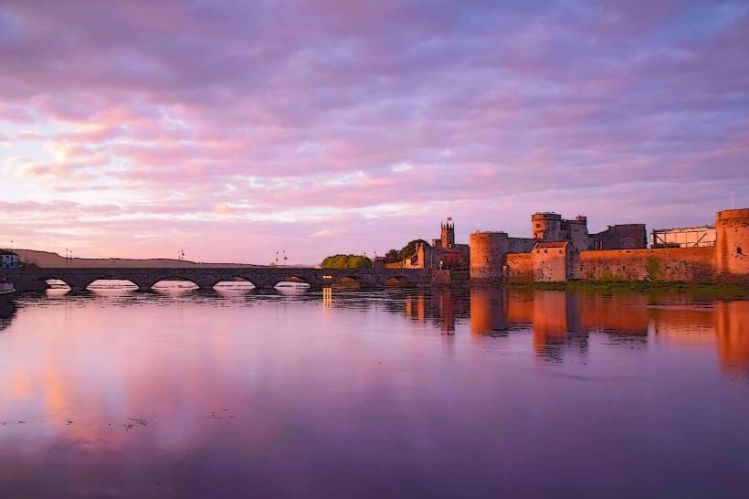
Bridges: The cityscape is punctuated by several major crossings, including the medieval Thomond Bridge, the multi-arched Sarsfield Bridge, and the modern Shannon Bridge.
Islands: The river splits to form King’s Island, the medieval heart of the city, bounded by the main Shannon channel and the smaller Abbey River.
Location & Access Logistics
Primary Viewpoints: The best pedestrian access is via Clancy’s Strand and O’Callaghan’s Strand on the western bank, and the Riverside Walk near the University of Galway (Limerick campus) and the city center.
Transit: Multiple city bus routes (302, 304) cross the river. The Shannon Way walking trail follows segments of the bank.
Activity: The river is used for rowing, kayaking, and recreational boating, though the current is strong and requires experienced navigation.
Historical Origin
Viking Settlement: The Norse established a "longphort" on the Shannon in the 9th and 10th centuries, utilizing the river as a highway for inland raids.
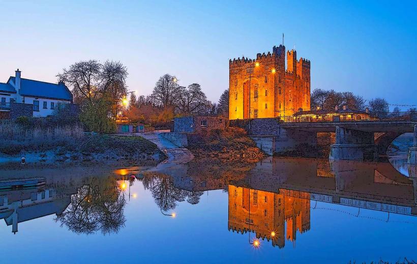
Military Defense: The river formed a natural moat for King John’s Castle, making Limerick one of the most strategic fortified cities in Ireland.
Trade: Historically, the Shannon was the lifeblood of Limerick’s economy, allowing merchant ships to bring goods directly into the city heart until the development of larger downstream deep-water ports like Foynes.
Infrastructure & Amenities
Hydropower: Just upstream from the city lies the Ardnacrusha Hydroelectric Station, which was the largest of its kind in the world when opened in 1929.
The Living Bridge: Located at the University of Limerick, this is the longest pedestrian bridge in Ireland, featuring a curved, organic design.
Limerick Docks: Situated at the western edge of the city center, still handling commercial maritime traffic.
Safety: Lifebuoys and emergency throw-bags are positioned at regular intervals along the city quays.
Best Time to Visit
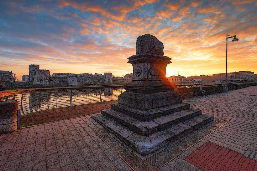
Photography: Sunset from the eastern bank (near the Hunt Museum) looking toward the Treaty Stone and Thomond Bridge.
Tide Watching: Consult local tide tables; the river’s character changes dramatically between high and low tide, with the Curragower Falls becoming prominent only at lower water levels.
Facts & Legends
The Shannon Estuary: Beyond the city, the river widens into a 100km long estuary, home to Ireland’s only resident population of bottlenose dolphins.
Sionna: In Irish mythology, the river is named after Sionnan, the granddaughter of Lir, who sought wisdom from the Well of Knowledge.
Navigation: The Shannon is connected to the River Erne via a series of canals, allowing for trans-island navigation from Limerick to Enniskillen.
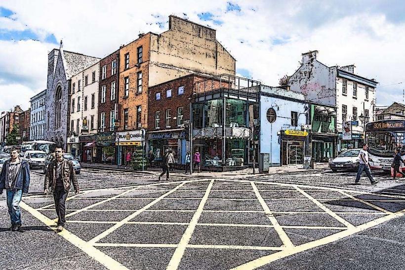
Nearby Landmarks
King John’s Castle – Overlooking the East Bank
The Treaty Stone – West Bank at Thomond Bridge
The Hunt Museum – At the confluence of the Shannon and Abbey Rivers
Arthur’s Quay Park – Central riverfront park
University of Limerick – 4km upstream via the riverside towpath