Information
Landmark: Treaty StoneCity: Limerick
Country: Ireland
Continent: Europe
Treaty Stone, Limerick, Ireland, Europe
The Treaty Stone is a historical monument situated on a limestone plinth on the western bank of the River Shannon in Limerick City. It marks the traditional site where the Treaty of Limerick was signed in 1691.
Visual Characteristics
The monument consists of an undressed block of local limestone resting on an ornate 19th-century pedestal. The pedestal features a carved coat of arms of Limerick and a commemorative inscription. It is positioned on a paved plaza at the foot of Thomond Bridge, offering a direct line of sight to King John’s Castle on the opposite bank.
Location & Access Logistics
Position: Clancy’s Strand, Limerick (V94 AKN9).
Transit: 1.4km north of Limerick Colbert Station. Accessible via city bus route 302.
Parking: Limited on-street disk parking along Clancy’s Strand. The nearest multi-story car parks are in the city center across the bridge (0.7km).
Accessibility: The monument is located on a level, paved public sidewalk. It is fully accessible for all mobility levels.
Historical Origin
The Conflict: The stone is associated with the end of the Williamite War in Ireland (1689–1691) between the forces of King William III and King James II.
The Treaty (1691): According to tradition, the Treaty of Limerick was signed on this stone on October 3, 1691, by Patrick Sarsfield (representing the Jacobites) and General Ginkel (representing the Williamites).
The "City of the Violated Treaty": The monument is a symbol of grievance; the religious and property freedoms promised in the treaty were subsequently broken by the British Parliament through the enactment of the Penal Laws.
The Pedestal (1865): The stone was raised onto its current pedestal in 1865 to prevent souvenir hunters from chipping away fragments of the rock.
Key Highlights & Activities
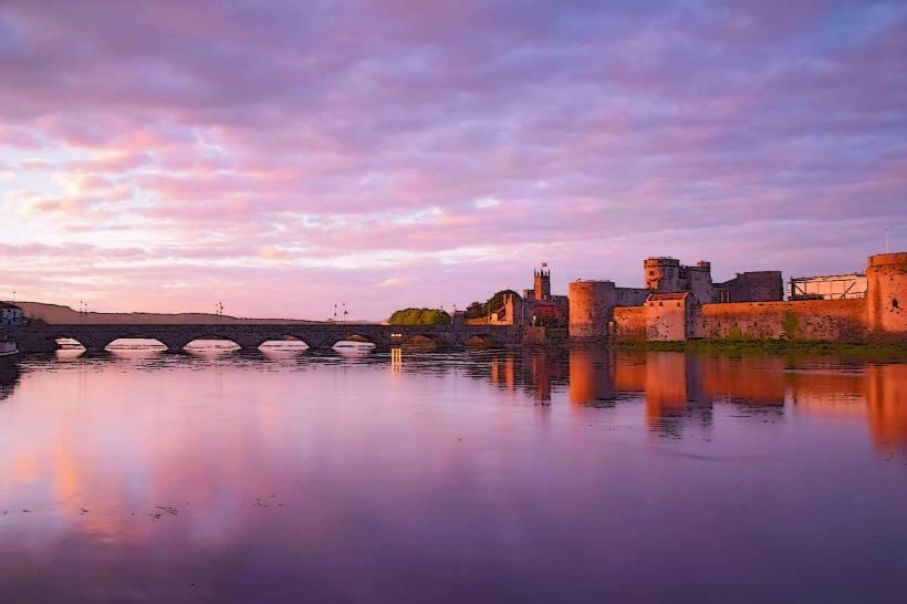
Viewing Point: The plaza provides one of the most prominent views of the River Shannon, Thomond Bridge, and the Curragower Falls.
Commemoration: The site is a frequent stop for walking tours focused on military history and the "Flight of the Wild Geese."
Infrastructure & Amenities
Sanitation: No public restrooms at the monument. Facilities are located in nearby pubs and cafes on the High Street or within King John's Castle.
Connectivity: High-density 4G/5G cellular coverage.
Lighting: The monument and surrounding plaza are illuminated by floodlights at night for visibility and security.
Best Time to Visit
Photography: Sunrise and early morning provide the best lighting on the face of the stone and the background of King John's Castle.
Tide Cycles: Visiting during low tide reveals the "Curragower Falls," a natural limestone reef in the river adjacent to the stone.
Facts & Legends
Local folklore suggests the stone was originally a mounting block for horses near the bridge. A verified historical oddity is that the actual treaty documents were likely signed in a tent at the Williamite camp outside the city, but the stone remains the enduring physical symbol of the event.
Nearby Landmarks
Thomond Bridge – 0.05km East
King John's Castle – 0.2km East (across the bridge)
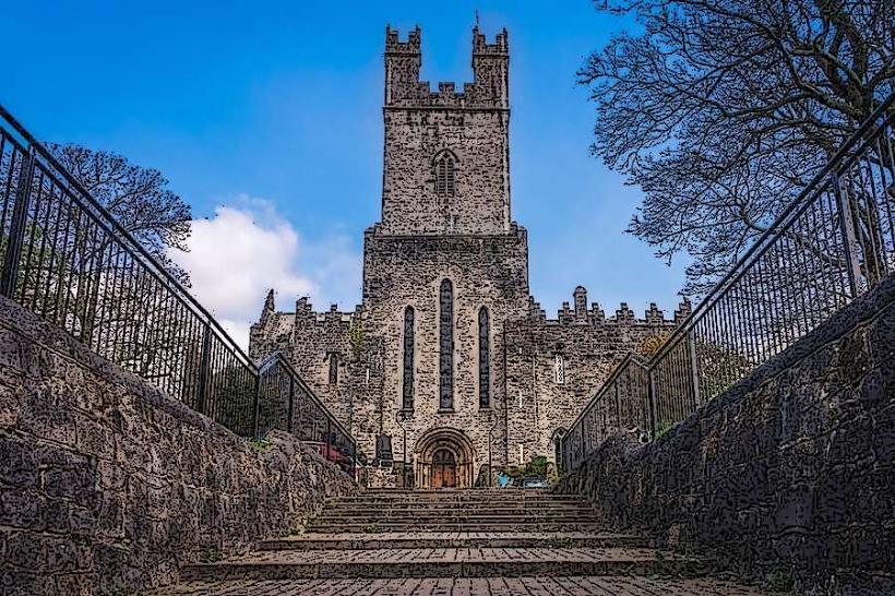
St. Mary's Cathedral – 0.4km Southeast
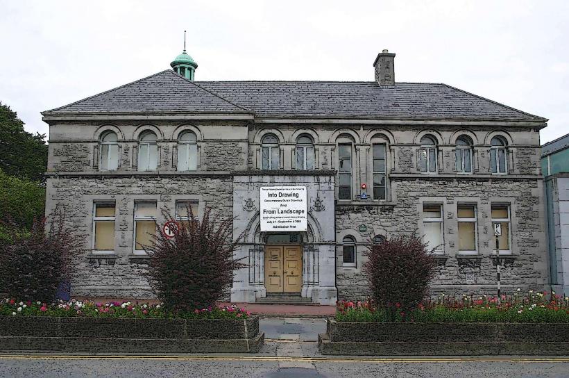
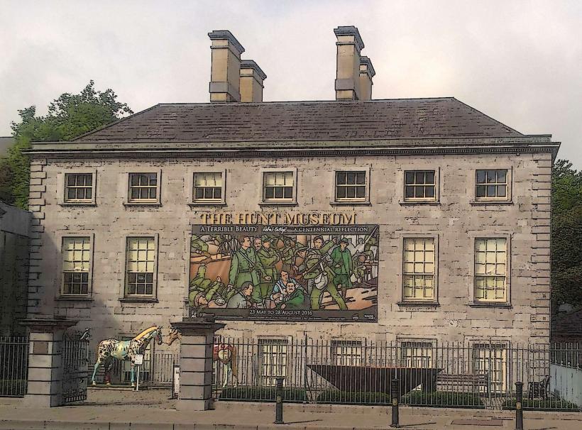
The Hunt Museum – 0.8km Southeast
Thomond Park Stadium – 1.0km Northwest