Information
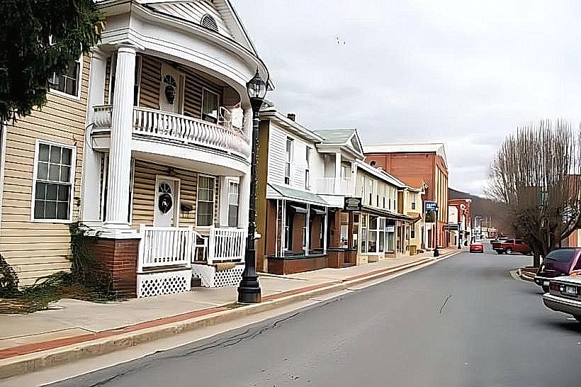
Landmark: Patterson Creek TrailCity: Keyser
Country: USA West Virginia
Continent: North America
Patterson Creek Trail, Keyser, USA West Virginia, North America
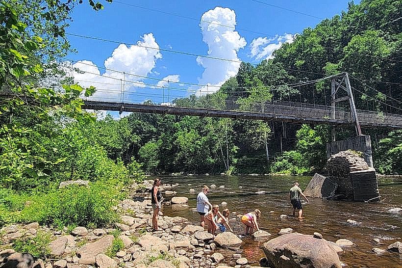
Patterson Creek Trail is a 10.5-mile linear trail located in Keyser, West Virginia. It follows the path of Patterson Creek through a mixed hardwood forest.
Visual Characteristics
The trail surface consists primarily of packed earth and gravel, with some sections of exposed rock. The creek itself is characterized by clear, shallow water flowing over a bed of smooth stones. Tree canopy cover is dense, providing shade for most of the trail's length. The dominant vegetation includes oak, maple, and pine species.
Location & Access Logistics
The primary access point is located off Route 28, approximately 3 miles south of Keyser. A gravel parking area with space for approximately 20 vehicles is situated adjacent to the trailhead. Public transportation options are not available directly to the trailhead. The nearest bus stop is in Keyser, requiring a taxi or personal vehicle for onward travel.
Historical & Ecological Origin
The trail was developed on land formerly used for logging operations. The path was formally established as a public recreational trail in 1998. Ecologically, the area is part of the Appalachian mixed mesophytic forest region, supporting diverse plant and animal life.
Key Highlights & Activities
Hiking is the primary activity. The trail is suitable for moderate day hikes. Birdwatching is possible due to the varied forest habitat. Fishing in Patterson Creek is permitted with a valid West Virginia fishing license.
Infrastructure & Amenities
Restroom facilities are not present at the trailhead or along the trail. There is no designated shade structure. Cell phone signal is intermittent and generally unreliable along the trail. No food vendors are located near the trailhead.
Best Time to Visit
For optimal hiking conditions, the months of April through October are recommended. Mid-morning (9:00 AM - 11:00 AM) offers good lighting for photography. No specific tide requirements apply.
Facts & Legends
Local folklore suggests that the creek was once used by early settlers to transport timber downstream. A specific point along the trail, known as "The Narrows," features a section where the creek is constricted by rock formations, creating a faster flow.
Nearby Landmarks
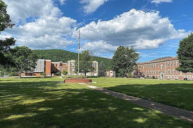
- Potomac State College of West Virginia University (2.5km North)
- Fort Ashby State Park (15km Southwest)
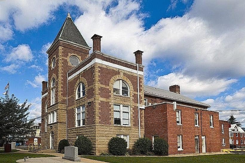
- Hampshire County Historical Society Museum (18km Southeast)