Information
Landmark: Potomac River AccessCity: Keyser
Country: USA West Virginia
Continent: North America
Potomac River Access, Keyser, USA West Virginia, North America
The Potomac River Access in Keyser, West Virginia, provides a designated point for public entry and recreation along the Potomac River.
This location serves as a point of access for river-based activities and offers views of the surrounding riparian environment.
Visual Characteristics
The access point features a gravel and packed earth shoreline. The river itself is approximately 50 meters wide at this location, with a moderate current. Water color varies from brown to green depending on recent rainfall. The banks are lined with deciduous trees, primarily oak and maple, with a dense undergrowth of ferns and brush.
Location & Access Logistics
The Potomac River Access is situated 2.5 kilometers east of downtown Keyser, West Virginia. Access is via River Road, a paved public thoroughfare. Turn south off US Route 50 onto River Road. Continue for 1.8 kilometers. A small, unpaved parking area with capacity for approximately 15 vehicles is located on the west side of River Road, immediately before the riverbank. No public transportation serves this specific access point.
Historical & Ecological Origin
The Potomac River is a major river in the Mid-Atlantic region of the United States, draining a large area of the Appalachian Mountains. Its geological origin is tied to the erosion of the Appalachian landscape over millions of years. This specific access point has been a natural crossing and gathering point for local populations for centuries, with its current designation as a public access point established in the late 20th century by local authorities for recreational purposes.
Key Highlights & Activities
Activities include fishing from the bank, kayaking, and canoeing. Launching watercraft is possible directly from the shoreline. Birdwatching is also a common activity due to the riparian habitat.
Infrastructure & Amenities
No permanent infrastructure is present. There are no restrooms, picnic tables, or designated shade structures. Cell phone signal (4G) is intermittent. No food vendors are located at this access point; visitors should bring supplies.
Best Time to Visit
For photography, early morning (6:00 AM - 8:00 AM) offers soft light. The best months for water-based activities are May through October, when water levels are generally stable and temperatures are suitable. Avoid visiting immediately after heavy rainfall, as river conditions can become hazardous.
Facts & Legends
Local lore suggests that during the Civil War, this area was used as a clandestine crossing point for Confederate sympathizers moving supplies. While unverified, the river's historical significance as a transportation route supports the possibility of such activity.
Nearby Landmarks
- Fort Ashby State Park (12km Southwest)
- Town of Cumberland, Maryland (25km East)
- Allegheny Trail (Access points vary, nearest approx. 8km West)
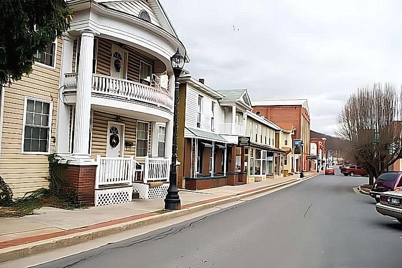
- Potomac State College of West Virginia University (2.8km West)