Information
Landmark: Penanjong BeachCity: Tutong
Country: Brunei
Continent: Asia
Penanjong Beach, Tutong, Brunei, Asia
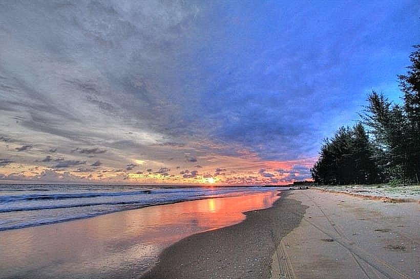
Penanjong Beach is a coastal area situated in Tutong, Brunei.
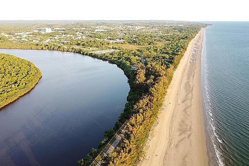
It is a public beach characterized by its sandy shoreline and proximity to mangrove ecosystems.
Visual Characteristics
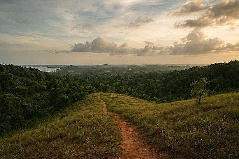
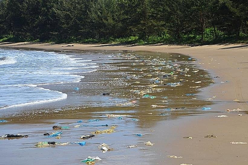
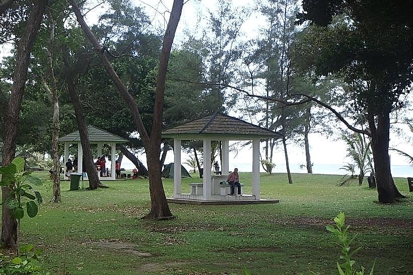
The beach features a wide expanse of light brown, fine-grained sand. The water is typically a muted green to grey, depending on the weather and sediment load. Coconut palms and other tropical vegetation line the landward side of the beach, with denser mangrove forests visible further inland. The coastline is relatively flat.
Location & Access Logistics
Penanjong Beach is located approximately 5 kilometers west of Tutong Town. Access is via Jalan Penanjong. From Tutong Town, proceed west on Jalan Tutong, then turn north onto Jalan Penanjong. The beach is clearly signposted. Parking is available in an unpaved lot adjacent to the main access point. No public transport directly serves the beach; local taxis or private vehicles are the primary means of access.
Historical & Ecological Origin
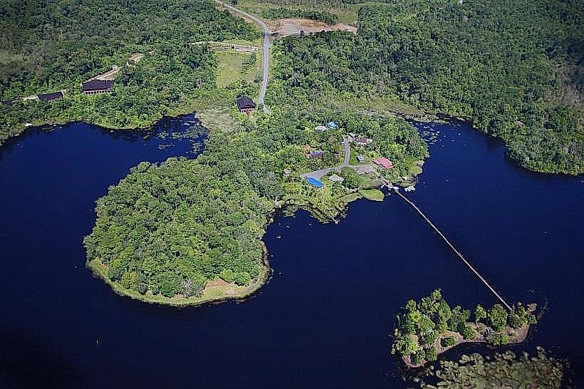
Penanjong Beach is a natural coastal formation, part of the Brunei Bay estuarine system. Its ecological significance lies in its role as a transition zone between terrestrial and marine environments, supporting mangrove flora and fauna. Historically, the area has been utilized by local communities for fishing and recreation.
Key Highlights & Activities
Activities include walking along the shoreline, observing local birdlife in the adjacent mangroves, and picnicking. Fishing from the shore is also a common activity. The shallow waters are suitable for wading.
Infrastructure & Amenities
Basic amenities include a small number of picnic tables and waste bins. There are no permanent restroom facilities or food vendors directly on the beach. Cell phone signal (4G) is generally available in the vicinity.
Best Time to Visit
The best time for photography is during the early morning or late afternoon when the sun angle provides softer light. The weather is generally consistent year-round, but the drier months (March to September) offer less chance of rain. High tide can reduce the visible sandy area.
Facts & Legends
Local folklore suggests that the area was once a landing point for ancient mariners. A specific tip for visitors is to observe the mudskippers in the mangrove channels during low tide, which are active feeders.
Nearby Landmarks
- Tutong Town Centre (5km East)
- Sungai Basong Recreational Park (6km East)
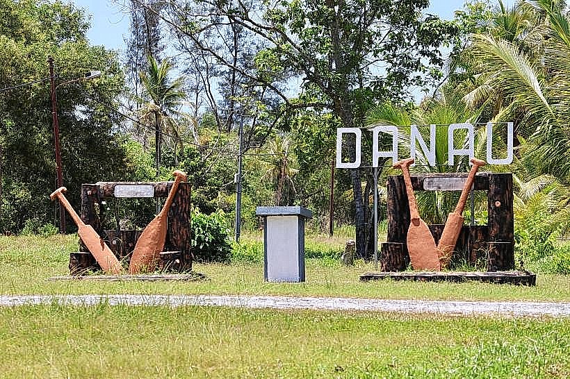
- Taman Rekreasi Tasek Meradong (7km Southeast)
- Seria Oilfield (25km West)