Information
Landmark: Tungku BeachCity: Tutong
Country: Brunei
Continent: Asia
Tungku Beach, Tutong, Brunei, Asia
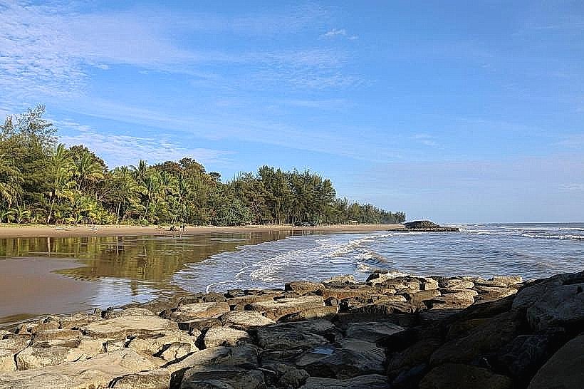
Tungku Beach is a coastal area situated in the Tutong District of Brunei.
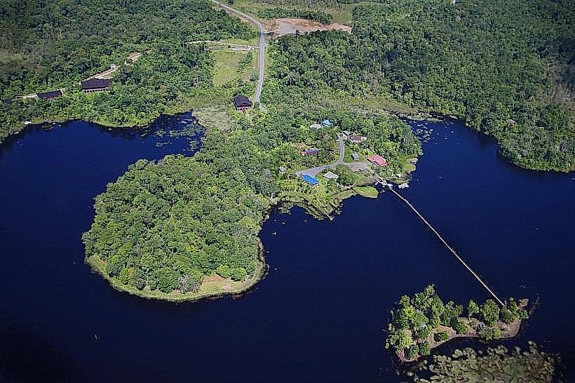
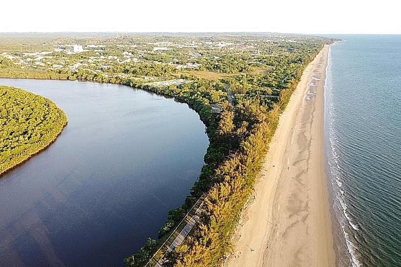
It is a stretch of coastline characterized by its sandy shores and proximity to mangrove ecosystems.
Visual Characteristics
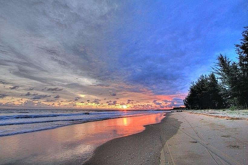
The beach consists of light brown, fine-grained sand. The water color varies from a light turquoise near the shore to a deeper blue further out. The coastline is bordered by a dense growth of mangrove trees, primarily Rhizophora species, forming a distinct ecological transition zone. The beach itself is relatively flat with a gentle slope towards the sea.
Location & Access Logistics
Tungku Beach is located approximately 15 kilometers west of Bandar Seri Begawan, the capital city. Access is via Jalan Tungku Link, which connects to the main highway. From Jalan Tungku Link, turn onto Jalan Pasir Berakas, which leads directly to the beach access road. Parking is available in an unpaved lot near the main entry point. Public transport options are limited; Bus Route 34 stops at the junction of Jalan Pasir Berakas and Jalan Tungku Link, requiring a walk of approximately 1.5 kilometers to the beach.
Historical & Ecological Origin
Tungku Beach is a natural formation, part of the coastal plain of Brunei. Its ecological significance lies in its role as a habitat for mangrove species, which are crucial for coastal protection and biodiversity. The area is a dynamic interface between terrestrial and marine environments, shaped by tidal action and sediment deposition over geological time.
Key Highlights & Activities
Walking along the shoreline is a primary activity. Observing the mangrove ecosystem from designated boardwalks is possible. Birdwatching is feasible, particularly during dawn and dusk. Swimming is permitted, but caution is advised due to potential currents.
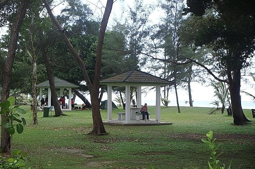
Infrastructure & Amenities
Basic restroom facilities are located near the parking area. Shade is primarily provided by natural tree cover along the beach edge. Cell phone signal (4G) is generally available. There are no permanent food vendors directly on the beach; however, small stalls may operate on weekends at the access road junction.
Best Time to Visit
For photography, early morning (06:00-08:00) offers soft light and potential for mist over the mangroves. Late afternoon (16:00-18:00) provides warm lighting. The dry season, from March to September, generally offers clearer skies and calmer seas. Tidal conditions do not significantly impact beach access, but low tide exposes more of the sand.
Facts & Legends
Local folklore suggests that the area was once a favored fishing ground for royalty. A specific point on the beach, marked by a cluster of larger rocks, is locally referred to as "Raja's Seat."
Nearby Landmarks
- Taman Rekreasi Tasek (Recreational Park) - 2.5km East
- Jame' Asr Hassanil Bolkiah Mosque - 4.0km East
- Royal Regalia Museum - 4.5km East
- Omar Ali Saifuddien Mosque - 5.0km East