Information
Landmark: Phu Kradueng National ParkCity: Loei
Country: Thailand
Continent: Asia
Phu Kradueng National Park, Loei, Thailand, Asia
Phu Kradueng National Park is a mountain plateau located in the Phu Kradueng district of Loei Province, Thailand. It is characterized by its high elevation and distinct geological features.
Visual Characteristics
The park's plateau summit is a relatively flat expanse covered in mixed deciduous forest and pine stands. Elevation reaches approximately 1,316 meters (4,318 feet) above sea level. Rock formations, including sandstone cliffs and overhangs, are prominent, particularly at the edges of the plateau. Waterfalls, such as Pha Nam Tok and Tat Hong, cascade down the slopes, creating distinct visual elements. The vegetation varies from dense forest to open grasslands.
Location & Access Logistics
Phu Kradueng National Park is situated approximately 6 kilometers (3.7 miles) west of the town of Phu Kradueng. Access to the summit is primarily via a steep, paved hiking trail that begins at the park entrance. The trail is approximately 4 kilometers (2.5 miles) long to the summit base, with an additional 15 kilometers (9.3 miles) of relatively flat terrain to traverse across the plateau to reach the main visitor facilities. Parking is available at the park headquarters. Public transport options to the town of Phu Kradueng are available from Loei city, from which local songthaews can be hired to reach the park entrance.
Historical & Ecological Origin
Phu Kradueng is a sandstone mesa, a type of geological formation resulting from erosion. Its ecological classification is a montane forest ecosystem, supporting a diverse range of flora and fauna adapted to higher altitudes. The park was established as a protected area to preserve its unique natural environment and geological features.
Key Highlights & Activities
Hiking to the summit is the primary activity. Visitors can explore various viewpoints on the plateau, including Pha Lom Sak, Pha Diao Dai, and Pha Suea. Waterfall viewing is possible at Pha Nam Tok and Tat Hong. Camping facilities are available at the summit. Photography is popular, especially at sunrise and sunset from designated viewpoints.
Infrastructure & Amenities
Restrooms are available at the park headquarters and at designated points on the plateau. Shade is provided by the forest canopy in many areas. Cell phone signal is generally available in the vicinity of the visitor center and some viewpoints on the plateau. Food vendors and a small restaurant are located near the main visitor center on the summit.
Best Time to Visit
The best time to visit Phu Kradueng is during the cool, dry season, from November to February. During this period, temperatures are moderate, and rainfall is minimal. The park is typically closed for the rainy season from June to September due to safety concerns related to slippery trails and potential landslides. For photography, early morning and late afternoon offer optimal lighting conditions at the viewpoints.
Facts & Legends
A notable historical oddity is the park's annual closure during the monsoon season, a measure implemented for visitor safety and to allow the natural environment to recover. Local lore speaks of spirits guarding the mountain, with visitors often advised to show respect.
Nearby Landmarks
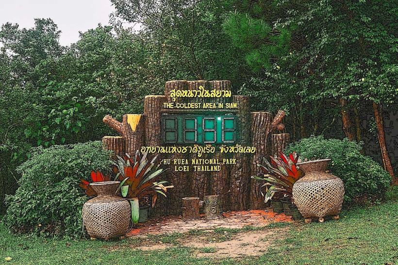
- Phu Ruea National Park (25km Northeast)
- Wat Pa Phu Thong (10km East)
- Loei City (55km East)
- Chiang Khan Walking Street (60km Northwest)