Information
Landmark: Pic la Selle (Mount La Selle)City: Kenscoff
Country: Haiti
Continent: North America
Pic la Selle (Mount La Selle), Kenscoff, Haiti, North America
Pic la Selle is the highest point in Haiti, located in the Massif de la Selle mountain range near Kenscoff.
It is a summit within a national park, offering panoramic views of the surrounding terrain.
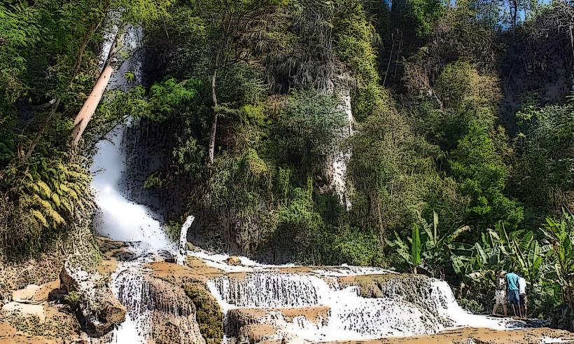
Visual Characteristics
The summit itself is a rocky outcrop with sparse vegetation, primarily consisting of grasses and low-lying shrubs adapted to high altitudes. The surrounding slopes are characterized by montane forests and scrubland. Rock formations are predominantly limestone. Elevation reaches 2,680 meters (8,793 feet).
Location & Access Logistics
Pic la Selle is situated approximately 25 kilometers southeast of Port-au-Prince. Access typically begins from Kenscoff. From Kenscoff, follow Route Nationale 2 (RN2) east for approximately 10 kilometers, then turn north onto a dirt track. This track is passable by 4x4 vehicles for a portion of the route. The final ascent requires hiking. Parking is available at designated points along the dirt track, approximately 3 kilometers from the summit. Public transport to Kenscoff is available via shared taxis and tap-taps from Port-au-Prince. From Kenscoff, hiring a local guide with a 4x4 vehicle is the most practical method for reaching the trailhead.
Historical & Ecological Origin
Pic la Selle is a natural geological formation, part of the Massif de la Selle, which is a mountain range formed by tectonic uplift. The area is classified as a montane ecosystem, characterized by its high elevation and specific flora and fauna adapted to cooler temperatures and thinner air. The Massif de la Selle is a significant watershed for the southern peninsula of Haiti.
Key Highlights & Activities
Hiking to the summit is the primary activity. The trail offers views of the Haitian landscape and, on clear days, the southern coast. Observation of local flora and fauna is possible. Photography of the landscape is a common pursuit.
Infrastructure & Amenities
There are no permanent structures or amenities at the summit or along the immediate trail. Restrooms are not available. Shade is limited to natural tree cover at lower elevations. Cell phone signal is unreliable and generally absent at higher altitudes. Food vendors are not present at the site; provisions must be carried by visitors.
Best Time to Visit
The best time of day for photography is generally mid-morning or late afternoon to avoid harsh overhead sunlight. The dry season, from November to April, offers the most favorable weather conditions with less rainfall and clearer skies. High tide or low tide is not applicable to this mountain summit.
Facts & Legends
Pic la Selle is often referred to as the "Roof of the Caribbean" due to its elevation. A specific local legend speaks of ancient spirits residing in the caves found on the slopes, guarding the mountain's natural resources.
Nearby Landmarks
- Parc National Naturel de la Visite (0.8km West)
- Bassin Bleu (15km Southwest)
- Fort Jacques (18km West)
- Kenscoff Market (22km West)