Information
Landmark: Playa El CocoCity: San Juan del Sur
Country: Nicaragua
Continent: North America
Playa El Coco, San Juan del Sur, Nicaragua, North America
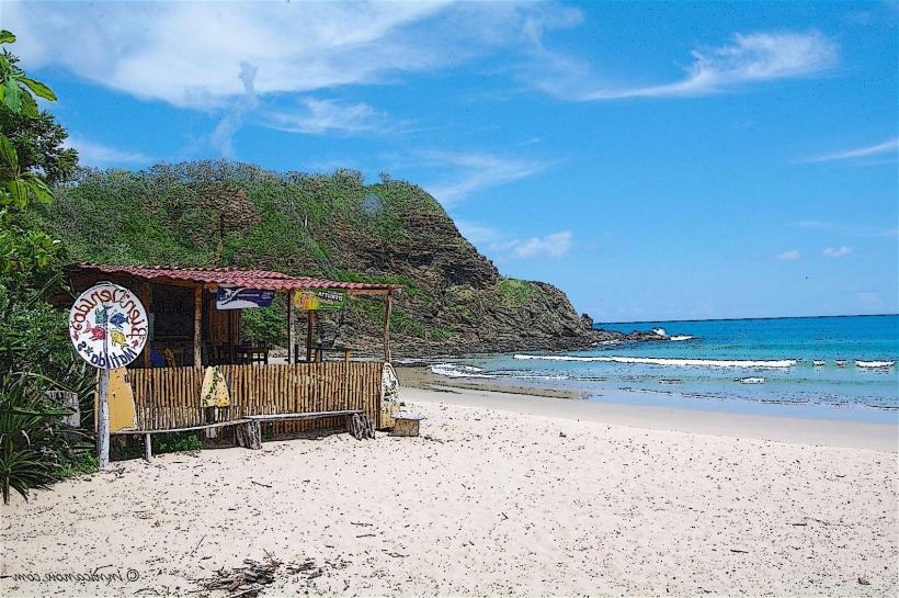
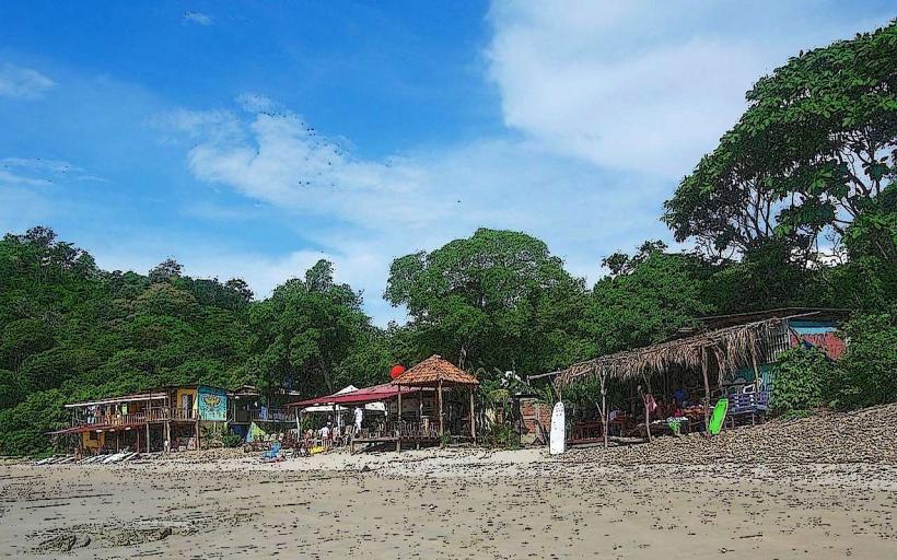
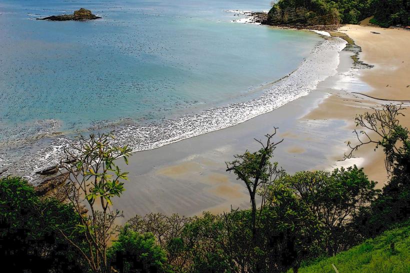
Playa El Coco is a coastal area situated south of San Juan del Sur, Nicaragua.
This location is characterized by its sandy shoreline and proximity to the Pacific Ocean.
Visual Characteristics
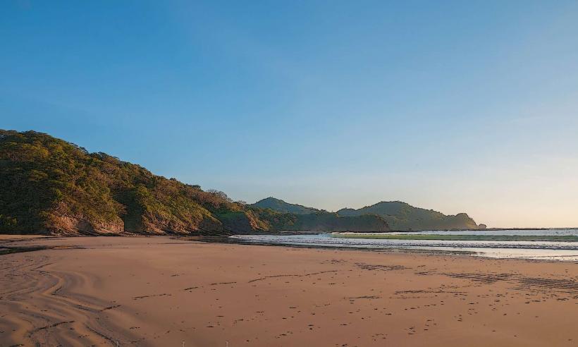
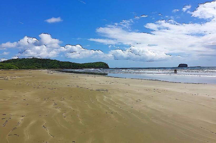
The beach consists of light brown, medium-grained sand. The water color varies from turquoise to deep blue depending on sunlight and depth. The shoreline is approximately 1.5 kilometers long and is bordered by low-lying vegetation and some rocky outcrops at its northern and southern extremities.
Location & Access Logistics
Playa El Coco is located 12 kilometers south of the San Juan del Sur town center. Access is via the paved Carretera a San Juan del Sur, then turning onto a well-maintained gravel road for the final 3 kilometers. Parking is available in designated open areas adjacent to the beach, with capacity for approximately 50 vehicles. Public transport options are limited; local taxis from San Juan del Sur are the primary means of access.
Historical & Ecological Origin
The geological formation of Playa El Coco is a result of coastal erosion and sediment deposition over millennia. Ecologically, it is part of the Central American Pacific dry forest ecoregion, supporting a variety of coastal flora and fauna.
Key Highlights & Activities
Swimming is permitted. Surfing is possible during periods of moderate swell, particularly on the northern end of the beach. Beachcombing along the shoreline is a common activity. Observation of local birdlife is also possible.
Infrastructure & Amenities
Restrooms are available at a small facility near the main parking area. Limited shade is provided by natural vegetation. Cell phone signal (3G/4G) is generally available. No permanent food vendors are present; visitors typically bring their own provisions.
Best Time to Visit
For photography, early morning (07:00-09:00) and late afternoon (16:00-18:00) offer optimal lighting conditions. The dry season, from December to April, provides the most consistent weather. High tide can reduce the available beach area.
Facts & Legends
Local lore suggests that the cove was historically used by small fishing communities for shelter during storms. A specific point of interest is a large, weathered rock formation at the southern end, locally referred to as "El Dedo" (The Finger).
Nearby Landmarks
- Playa Hermosa (1.2km South)
- Playa Yankee (3.5km South)
- San Juan del Sur Town Center (12km North)
- Reserva Natural Las Peñitas (15km North)