Information
Landmark: Playa PatanemoCity: Carabobo
Country: Venezuela
Continent: South America
Playa Patanemo, Carabobo, Venezuela, South America
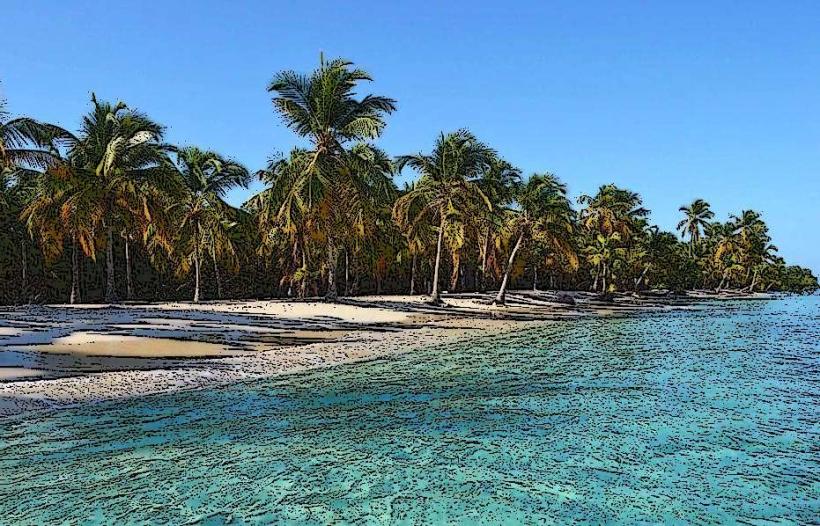
Playa Patanemo is a coastal area situated in the state of Carabobo, Venezuela.
This location is characterized by its sandy shoreline and proximity to a small fishing village.
Visual Characteristics
The beach consists of light brown, medium-grained sand. The water exhibits a clear, light blue hue, transitioning to deeper blue further offshore. The shoreline is approximately 1.5 kilometers in length and is bordered by low-lying vegetation, including palm trees and scrub brush. Behind the beach, hills rise with moderate vegetation cover.
Location & Access Logistics
Playa Patanemo is located approximately 35 kilometers west of Valencia, the capital of Carabobo state. Access is via Carretera Nacional 1, turning south onto the local road towards Patanemo. The final 3 kilometers to the beach are unpaved and can be rough, requiring a vehicle with adequate ground clearance. Parking is available on an informal basis along the access road and near the beach, with capacity for approximately 50 vehicles. Public transport to Patanemo village is limited to local buses originating from Valencia, with infrequent service. From the village, it is a 15-minute walk to the beach.
Historical & Ecological Origin
Playa Patanemo is a natural coastal formation, a result of sediment deposition over geological time. The area is part of the Venezuelan coastal range's foothills. Historically, it has served as a fishing ground for local communities. No specific architect or construction date applies as it is a natural feature.
Key Highlights & Activities
Swimming is possible in the calm waters. Sunbathing on the sand is a primary activity. Fishing from the shore is practiced by locals and some visitors. Walking along the length of the beach is feasible. No organized tours or specific marked trails are present.
Infrastructure & Amenities
Basic amenities are present in the adjacent village of Patanemo, approximately a 15-minute walk from the beach. These include small food stalls selling local snacks and drinks. Restrooms are not directly on the beach but may be available at some food stalls. Shade is provided by natural vegetation. Cell phone signal (2G/3G) is generally available, though it can be intermittent.
Best Time to Visit
The best time of day for photography is generally late afternoon, from 3:00 PM to 5:00 PM, when the sun angle provides softer light. The driest months are typically from December to April, offering more consistent weather. High tide does not significantly impact beach accessibility.
Facts & Legends
A local anecdote suggests that during certain times of the year, small, bioluminescent organisms can be observed in the water after sunset, creating a faint glow. This phenomenon is not consistently documented.
Nearby Landmarks
- Playa Quizandal (1.2km West)
- Morrocoy National Park (approx. 25km West)
- Puerto Cabello (approx. 30km West)
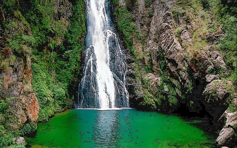
- Parque Nacional Henri Pittier (approx. 40km East)