Information
Landmark: Puerto CabelloCity: Carabobo
Country: Venezuela
Continent: South America
Puerto Cabello, Carabobo, Venezuela, South America
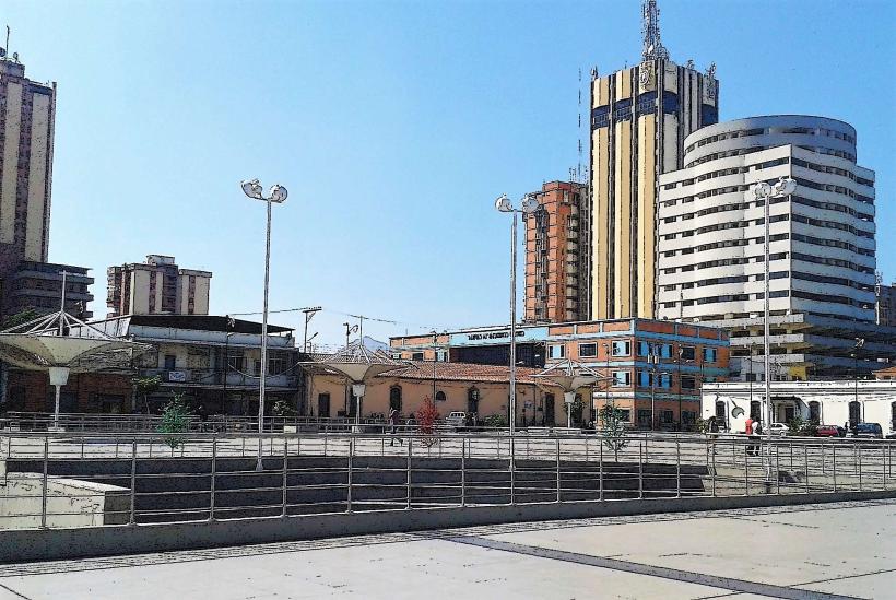
Puerto Cabello is a major port city located on the northern coast of Venezuela in the state of Carabobo.
It serves as Venezuela's principal commercial port and a significant industrial center.
Visual Characteristics
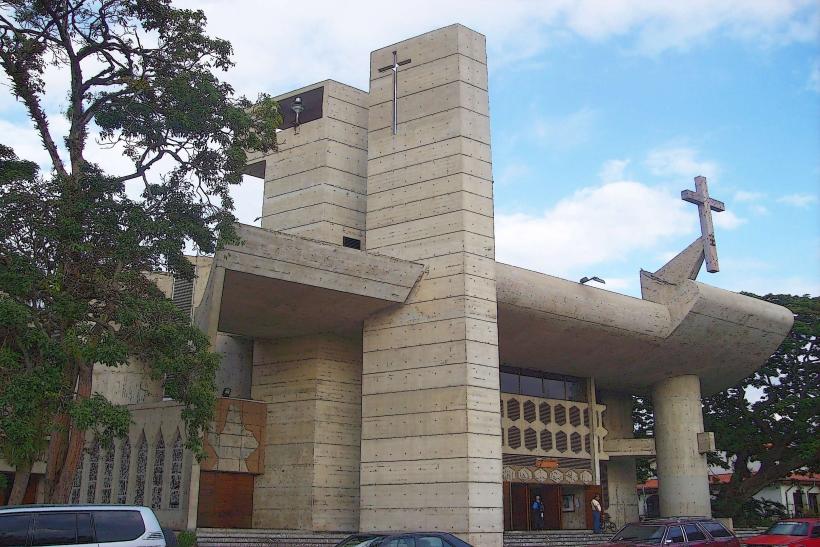
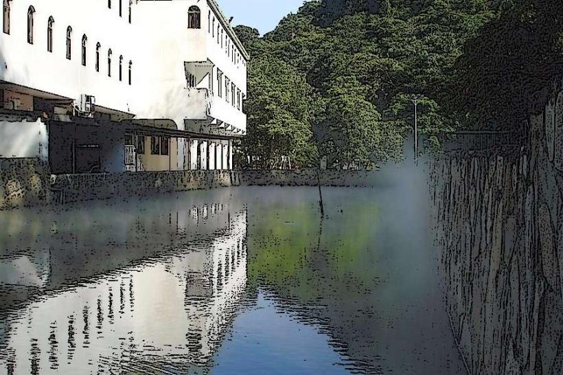
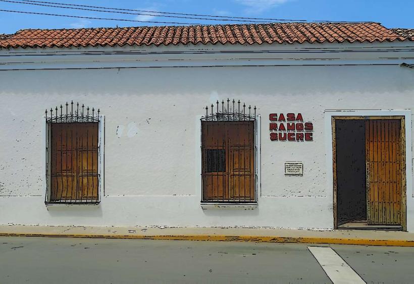
The city exhibits a mix of colonial-era architecture and modern port facilities. Buildings are predominantly constructed from concrete and brick, with many painted in pastel shades. The coastline is characterized by extensive docks, warehouses, and industrial complexes. The waters of the Caribbean Sea are a deep blue, with the port area showing varying shades of green and brown due to maritime activity.
Location & Access Logistics
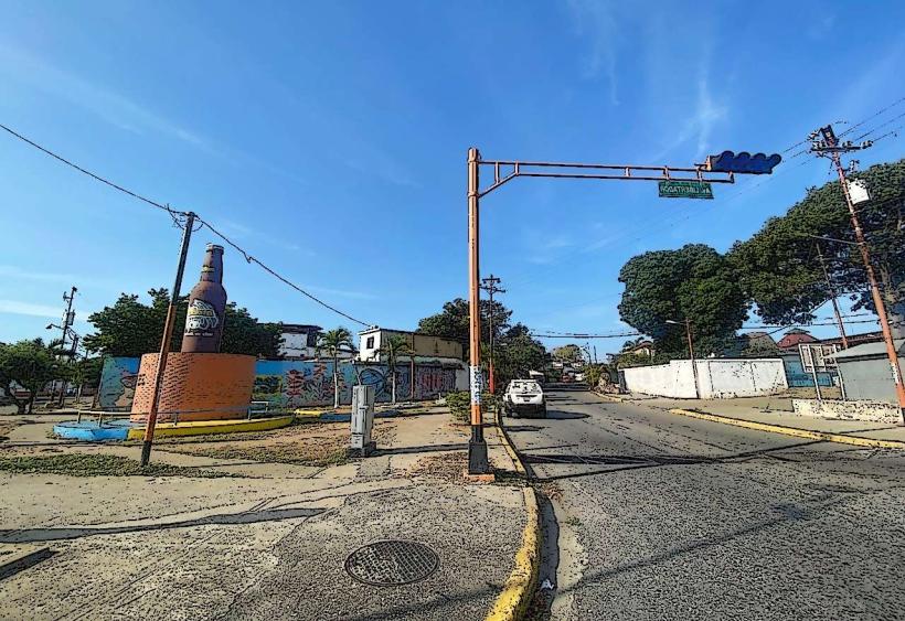
Puerto Cabello is situated approximately 170 kilometers west of Caracas. Access is primarily via the Autopista Regional del Centro (ARC), a major highway connecting Caracas to Valencia and Puerto Cabello. The city is also served by the National Route 1 (Troncal 1). The Arturo Michelena International Airport (VLN) in Valencia is the closest major airport, approximately 55 kilometers inland. Within Puerto Cabello, local buses and taxis provide intra-city transport. Parking is available in designated lots near the port and commercial areas, though it can be limited during peak hours.
Historical & Ecological Origin
Founded in 1620, Puerto Cabello was initially established as a strategic defensive point and trading post. Its name, meaning "Hair Port," is attributed to the calm waters that held ships' anchors so securely that not even hair could be pulled from them. The city's development is intrinsically linked to its natural harbor, a deep, sheltered bay that facilitated its growth as a commercial hub. The surrounding region is part of the Venezuelan coastal mountain range's foothills, characterized by tropical dry forest ecosystems.
Key Highlights & Activities
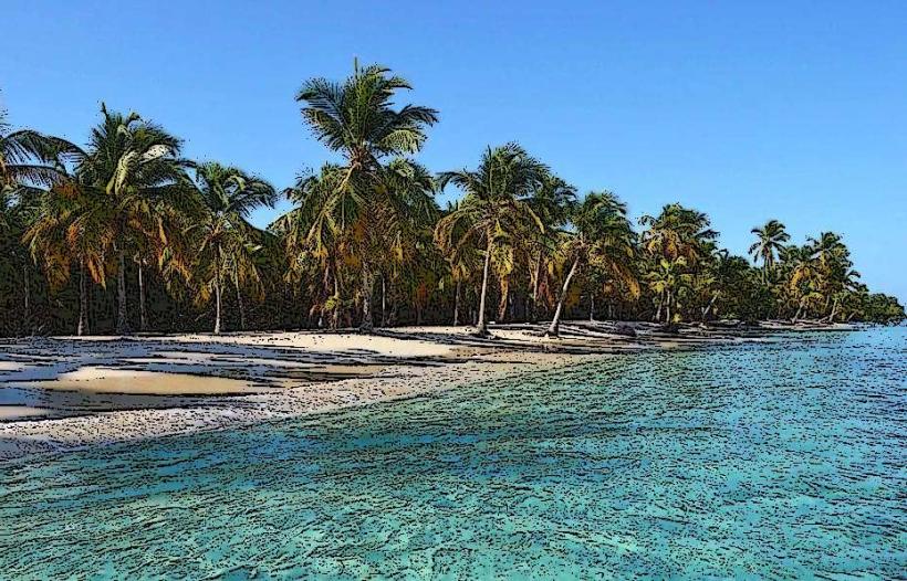
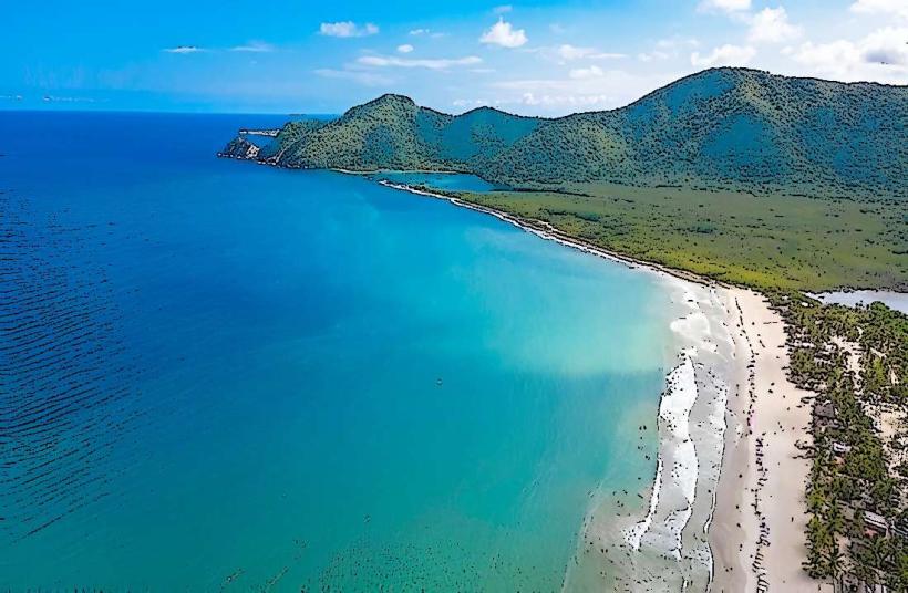
Visitors can explore the historic Castillo de San Felipe, a 17th-century Spanish fortress. Walking tours of the colonial city center are available, focusing on architectural details. The Malecon offers a promenade along the waterfront. Fishing and boat tours can be arranged from the marina area. The nearby beaches, such as Playa Waikiki, are accessible for recreational purposes.
Infrastructure & Amenities
Restrooms are available in public areas and commercial establishments. Shade is provided by awnings and building overhangs in the city center. Cell phone signal (4G/5G) is generally consistent within the urban areas. Food vendors and restaurants are located throughout the city, particularly near the port and commercial districts.
Best Time to Visit
The best time for outdoor activities is during the dry season, from December to April. The hottest months are typically July and August. For photography of the port and city, early morning (7:00 AM - 9:00 AM) and late afternoon (4:00 PM - 6:00 PM) offer optimal lighting conditions with softer shadows.
Facts & Legends
A notable historical event is the siege of Puerto Cabello during the Venezuelan War of Independence, where it was the last royalist stronghold to fall. A local legend suggests that the city's strategic importance was so great that it was once referred to as the "Key to the Caribbean."
Nearby Landmarks
- Castillo de San Felipe (0.8km West)
- Playa Waikiki (4.5km Southwest)
- Fortín Solano (1.2km Northwest)
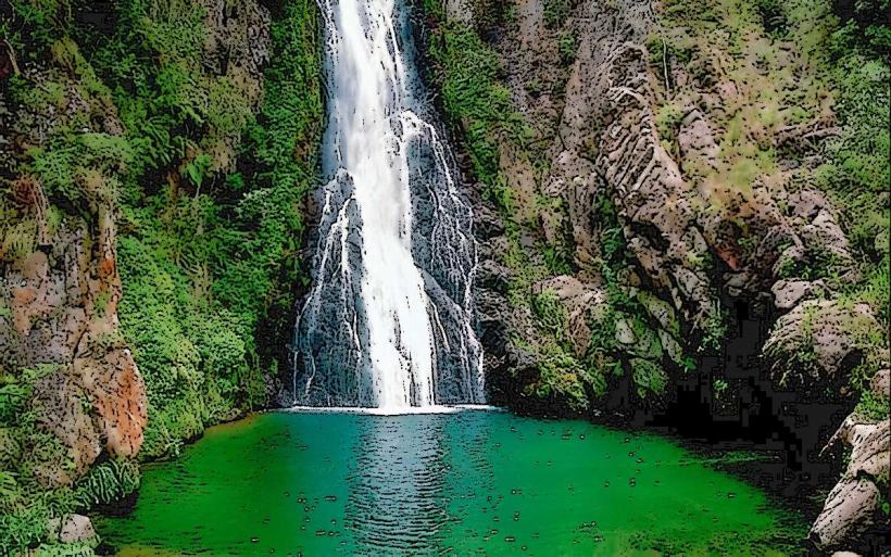
- Parque Nacional San Esteban (15km Southeast)