Information
Landmark: Pont des TrousCity: Tournai
Country: Belgium
Continent: Europe
Pont des Trous, Tournai, Belgium, Europe
The Pont des Trous is a medieval military bridge and one of the most significant vestiges of communal military architecture in Belgium, situated on the Escaut (Scheldt) river in Tournai.
Visual Characteristics
The structure consists of two massive defensive towers-the "Bourdiel" tower on the left bank and the "Thievin" tower on the right bank-connected by a curtain wall featuring three pointed arches. It is constructed from local blue limestone and brick. Following a controversial 2019-2023 reconstruction, the central arches now feature a modernized, sleek design to accommodate contemporary river traffic while retaining the original medieval aesthetic of the flanking towers.
Location & Access Logistics
The bridge is located at Quai Donat Casterman, 7500 Tournai.
Public Transport: 10-minute walk north from Tournai Railway Station.
Parking: Street parking is available along the quays (Quai Donat Casterman or Quai Taille-Pierres).
Access: The bridge is a public site visible from the riverbanks. It is free to view 24/7. Pedestrian paths along the quays are fully wheelchair accessible.
Historical Origin
The bridge was built between 1281 and 1329 as part of the city's second defensive wall. It served a dual purpose: a fortification to protect the river entry into the city and a water gate to control river traffic. During WWII, the central arches were blown up by British forces to slow the German advance; they were rebuilt in 1947. In 2019, the central part was again dismantled and widened to allow the passage of large Class Va barges, a project that concluded in 2023.
Key Highlights & Activities
Military Architecture: One of only three remaining 13th-century bridge-fortifications in the world.
The "Trous" (Holes): The name refers to a nearby sluice or sewer gate that historically discharged into the river at this point.
Promenade de l'Escaut: The bridge is a focal point of the revitalized riverfront walking and cycling paths.
Illumination: A modern lighting system highlights the towers and the reflection of the arches on the water at night.
Infrastructure & Amenities
There are no services within the towers. The surrounding quays feature public benches and information panels detailing the history and reconstruction of the bridge. 5G signal is robust.
Best Time to Visit
Accessible 24/7. Sunset and evening provide the best conditions for photography and viewing the architectural lighting.
Facts & Legends
A verified historical detail is that the bridge's reconstruction was the subject of intense international debate between heritage preservationists and proponents of economic river modernization. A local anecdote suggests that the bridge remained a "bridge to nowhere" for a period after the 1940 destruction, serving as a somber monument to the city's wartime losses before its 1947 restoration.
Nearby Landmarks
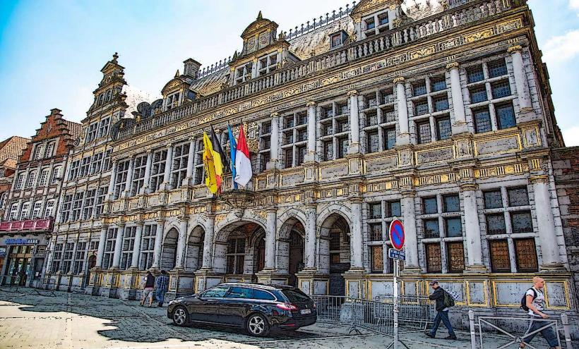
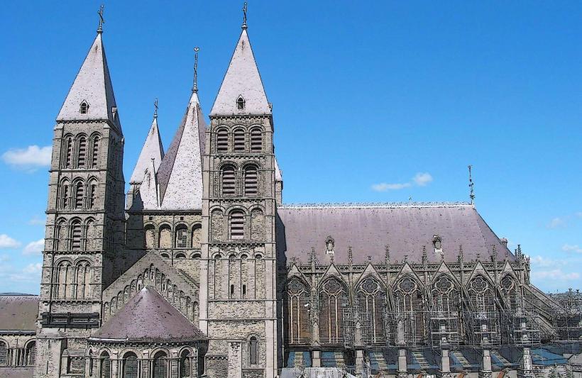
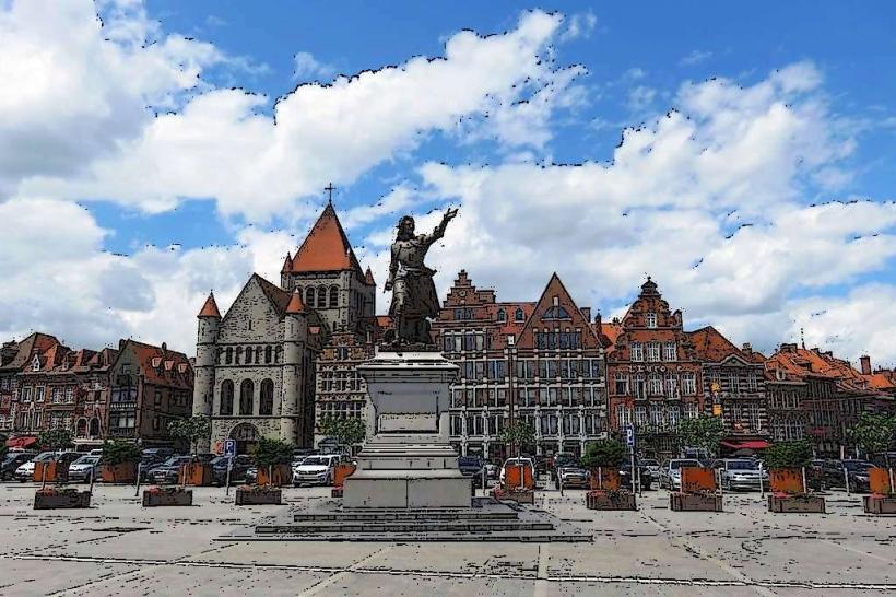
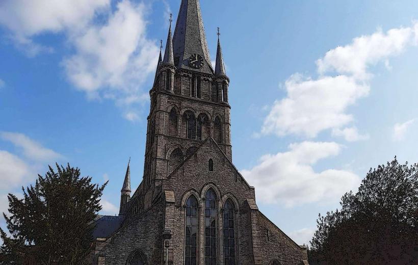
Cathedral of Notre-Dame – 0.8km South
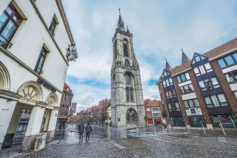
Belfry of Tournai – 0.9km South
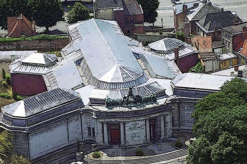
Museum of Fine Arts – 1.1km South
Tournai Railway Station – 0.6km East
[suspicious link removed]