Information
Landmark: Ponte di TiberioCity: Rimini
Country: Italy
Continent: Europe
Ponte di Tiberio, Rimini, Italy, Europe
The Ponte di Tiberio is an ancient Roman bridge spanning the Marecchia River in Rimini, Italy. It connects the city center with the Borgo San Giuliano district.
Visual Characteristics
The bridge is constructed primarily from white Istrian stone, known for its durability. It features five robust arches, each with a span of approximately 8 meters. The total length of the bridge is about 70 meters, with a width of approximately 8.4 meters. Its architectural style is characteristic of Roman engineering, emphasizing strength and precision, with a slight "donkey's back" curve along its deck.
Location & Access Logistics
The Ponte di Tiberio is situated at the northern edge of Rimini's historic center, crossing the Marecchia River. It connects Via Tiberio on the south bank to Via San Giuliano on the north bank. The bridge is directly adjacent to the historic center. Limited street parking is available in the surrounding areas, with paid parking lots such as Parcheggio Tiberio located approximately 0.2km East. Rimini's local bus lines, including Line 4 and Line 7, have stops within 0.3km, such as the "Ponte di Tiberio" stop.
Historical & Ecological Origin
Construction of the Ponte di Tiberio began under Emperor Augustus in 14 AD and was completed under Emperor Tiberius in 21 AD. It was engineered by Roman builders. Its original purpose was to connect the Roman city of Ariminum (Rimini) with the Via Aemilia and Via Popilia, serving as a critical artery for military movements and commercial trade.
Key Highlights & Activities
The bridge is open to pedestrian and light vehicle traffic, allowing for direct crossing between the city center and Borgo San Giuliano. It offers opportunities for photography, particularly capturing its ancient architecture and reflections in the Marecchia River. Crossing the bridge provides direct access to the historic fishing village of Borgo San Giuliano, known for its murals and local atmosphere.
Infrastructure & Amenities
Public restrooms are not located directly on the bridge but are available in nearby parks, such as Parco XXV Aprile (0.1km West), or within cafes in Borgo San Giuliano. There is minimal shade directly on the bridge deck. Cell phone signal (4G/5G) is strong throughout the area. Numerous cafes, restaurants, and gelato shops are available in Borgo San Giuliano (0.05km North) and Rimini's historic center (0.1km South).
Best Time to Visit
For optimal photography, early morning or late afternoon hours are recommended to utilize softer lighting, which minimizes harsh shadows and highlights the stone details. The best months for visiting are April to June and September to October, offering mild temperatures and generally fewer crowds. Tide requirements are not applicable as the bridge spans a river.
Facts & Legends
Local folklore suggests the bridge's arches are so perfectly constructed that they resemble the hooves of a goat, leading to the nickname "Devil's Bridge" due to its perceived impossible durability. A verified historical oddity is that the bridge survived numerous floods and even attempts by retreating German forces to destroy it during World War II, earning it a reputation for indestructibility.
Nearby Landmarks
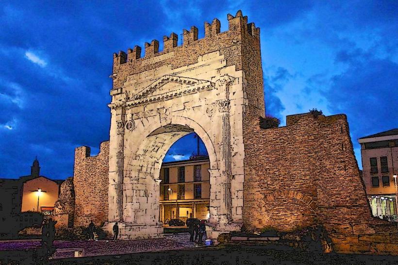
- Arco d'Augusto: 0.8km South-East
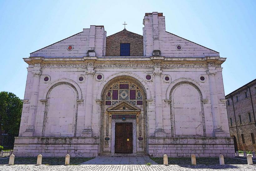
- Tempio Malatestiano: 0.7km South
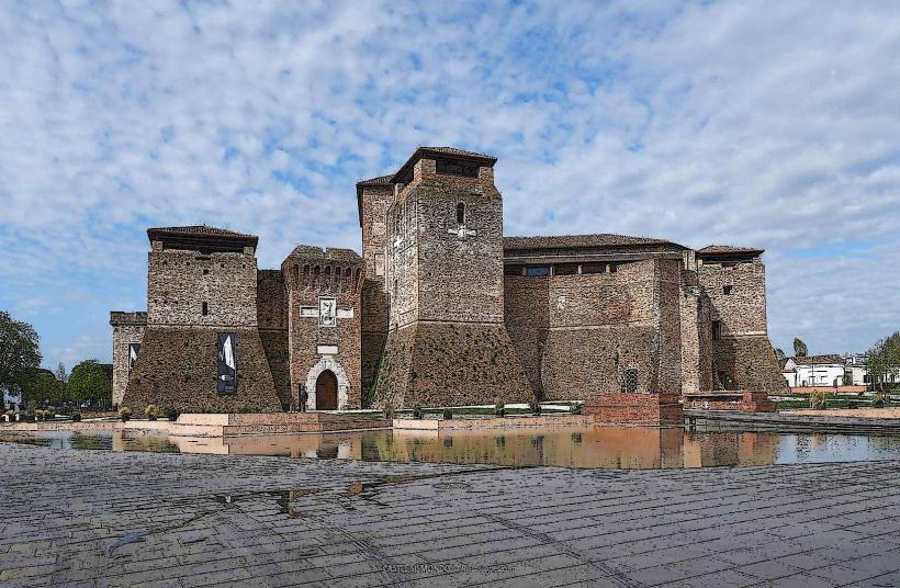
- Castel Sismondo: 0.6km South-West
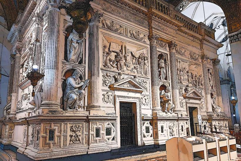
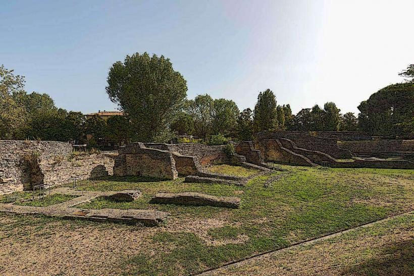
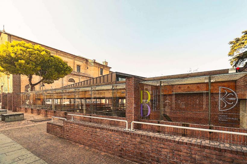
- Domus del Chirurgo: 0.5km South
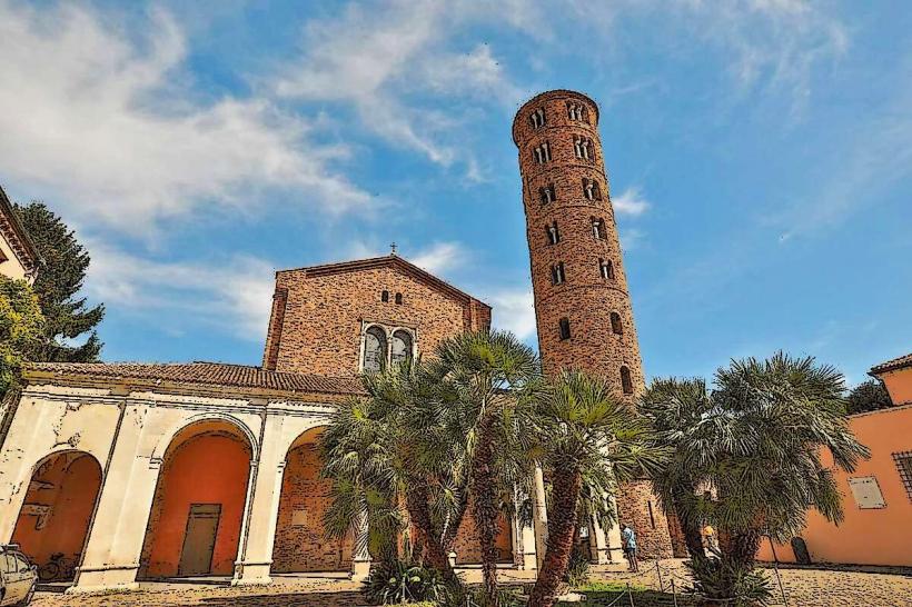
- Parco XXV Aprile: 0.1km West