Information
Landmark: Praia de Ponta NegraCity: Natal
Country: Brazil
Continent: South America
Praia de Ponta Negra, Natal, Brazil, South America
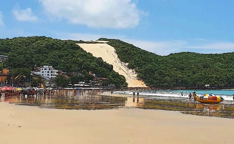
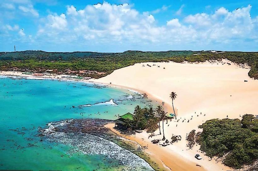
Praia de Ponta Negra is a prominent urban beach situated in Natal, the capital city of Rio Grande do Norte, Brazil.
Visual Characteristics
The beach features a crescent-shaped shoreline approximately 4 kilometers in length. The sand is light brown and moderately fine-grained. The water is typically a clear turquoise, with wave action varying from gentle to moderate. Dominating the southern end of the beach is Morro do Careca, a large sand dune reaching approximately 120 meters in height. Coastal vegetation, primarily scrub and small trees, is present on the slopes of the dune and in areas adjacent to the urban development.
Location & Access Logistics
Praia de Ponta Negra is located in the Ponta Negra neighborhood, approximately 10 kilometers south of Natal's city center. Access is primarily via Avenida Engenheiro Roberto Freire, a major arterial road. Numerous public bus lines, including lines 10, 33, 46, 54, 60, 64, 73, 77, 83, and 101, serve the area, with stops directly along the avenue and adjacent streets. Paid parking is available in designated lots and on some side streets. Taxis and ride-sharing services are readily available.
Historical & Ecological Origin
The geological formation of Morro do Careca is attributed to aeolian processes, with sand accumulating over millennia. The beach itself is part of the Atlantic coastline, shaped by oceanic currents and sediment deposition. Historically, the area was less developed, with the urban expansion of Natal leading to its current status as a popular recreational zone.
Key Highlights & Activities
Swimming and sunbathing are primary activities. Bodyboarding and surfing are possible, particularly during periods of higher swell. Walking along the promenade (calçadão) is common. Boat tours depart from nearby points to view the coastline and marine life. Morro do Careca is a protected area, and climbing it is prohibited to prevent erosion.
Infrastructure & Amenities
The promenade is lined with numerous hotels, restaurants, bars, and shops. Public restrooms are available at intervals along the promenade, often associated with commercial establishments. Shade is provided by umbrellas and tents available for rent, as well as by the buildings lining the beach. Cell phone signal (4G/5G) is generally strong throughout the area. Food vendors and kiosks are abundant.
Best Time to Visit
For photography, the morning hours (approximately 7:00 AM to 10:00 AM) offer direct sunlight on Morro do Careca. The late afternoon (approximately 4:00 PM to 6:00 PM) provides softer light. The best months for weather are typically from September to March, which corresponds to the drier season. Tidal variations have minimal impact on beach access, though higher tides can reduce the visible sand area.
Facts & Legends
Morro do Careca is a natural monument and a symbol of Natal. Local folklore suggests that the dune's shape is the result of a giant's footprint. It is a protected environmental area, and access to climb the dune is restricted to preserve its structure.
Nearby Landmarks
- Via Costeira (0.8km Northwest)
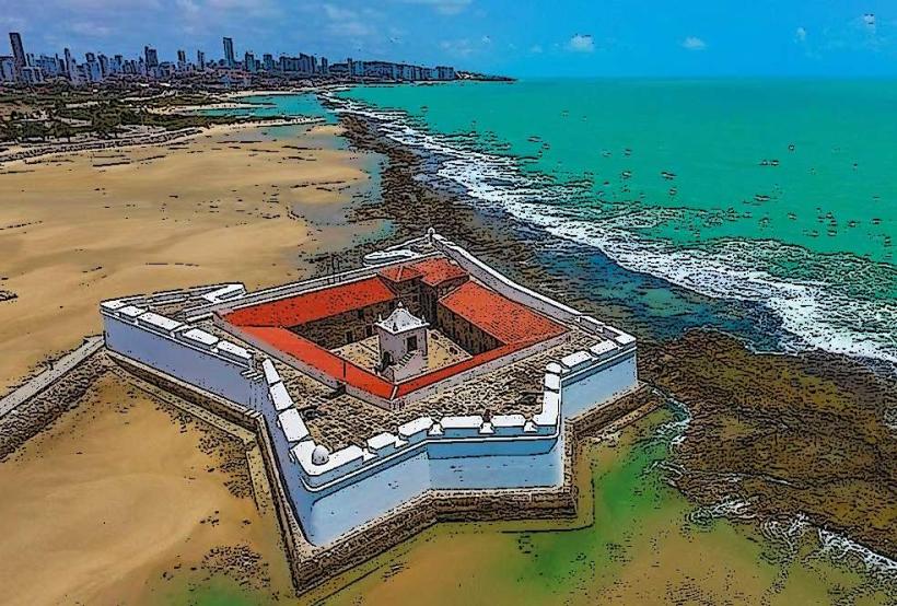
- Forte dos Reis Magos (7.5km Northeast)
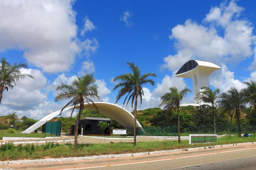
- Parque das Dunas (3.2km West)
- Praia de Genipabu (22km North)
- Praia de Pipa (85km South)