Information
Landmark: Praia do FrancêsCity: Maceio
Country: Brazil
Continent: South America
Praia do Francês, Maceio, Brazil, South America
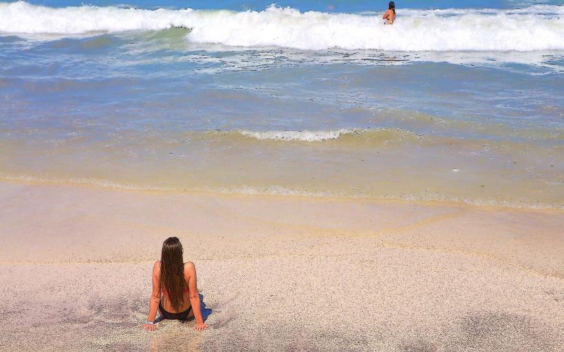
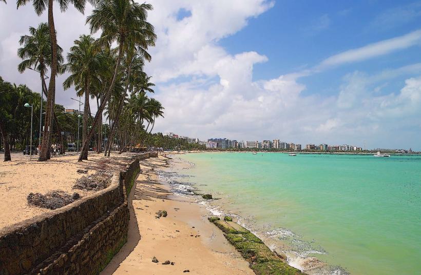
Praia do Francês is a beach located in the municipality of Marechal Deodoro, Alagoas, Brazil, approximately 20 kilometers south of Maceió.
Visual Characteristics
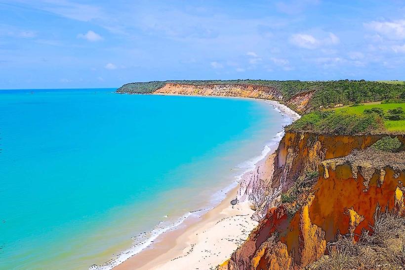
The beach features a barrier reef that divides the coastline into two distinct sections. The northern section, exposed to open ocean, has rougher waves and a sandy bottom. The southern section is protected by the reef, creating a calm, lagoon-like environment with clear, shallow water and a fine, light-colored sand. The vegetation along the shoreline consists primarily of coconut palms.
Location & Access Logistics
Praia do Francês is accessible via the AL-101 highway. From Maceió city center, travel south on AL-101 for approximately 20 kilometers. Turn off at the sign for Praia do Francês. Parking is available along the main road and in designated lots, with fees typically applied. Public transport options include local buses (e.g., line 500) that run from Maceió to Marechal Deodoro, with stops near the beach entrance.
Historical & Ecological Origin
The geological formation of the barrier reef is a result of marine sedimentation and biological activity over millennia. The beach's name, "Praia do Francês" (Frenchman's Beach), is attributed to historical accounts of French pirates using the area as a base in the 16th century, though concrete archaeological evidence is limited.
Key Highlights & Activities
Swimming and sunbathing are primary activities in the protected southern section. Snorkeling is possible within the reef area during low tide. Kayaking and stand-up paddleboarding are available for rent. The northern section is suitable for surfing, particularly during certain swell conditions.
Infrastructure & Amenities
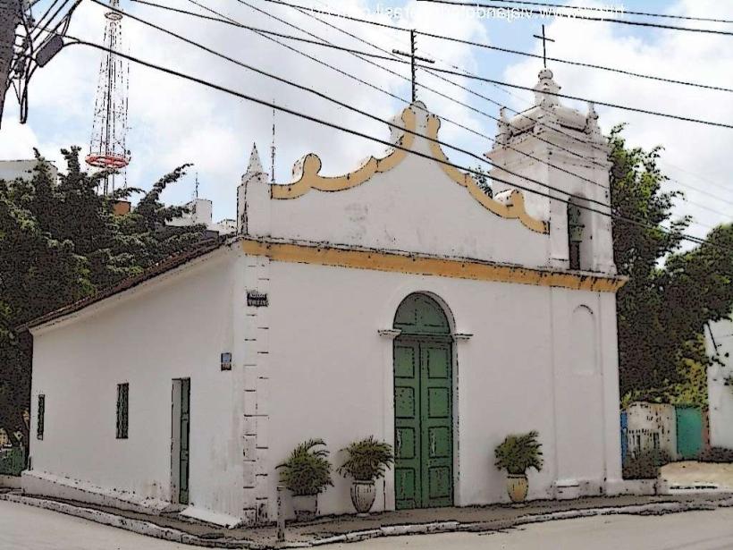
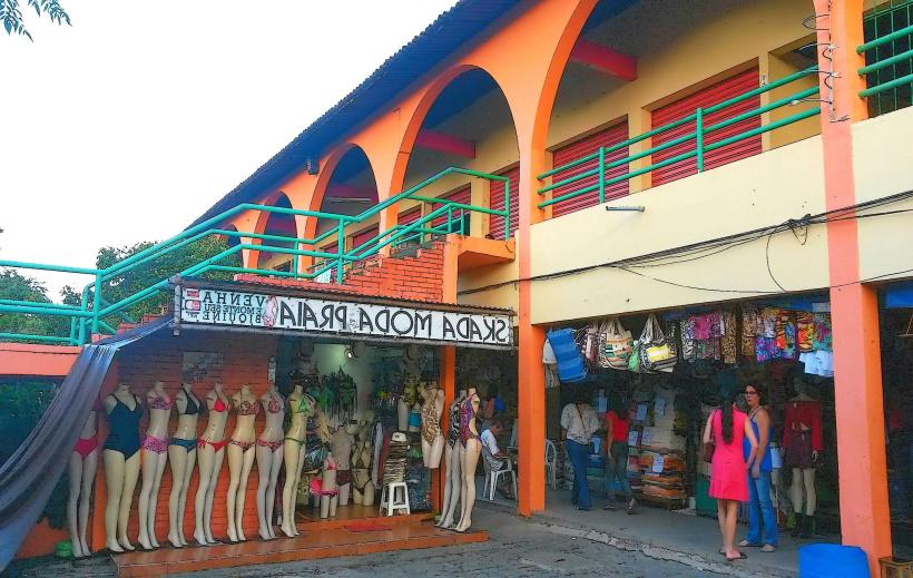
Restrooms are available at beachside establishments. Shade is provided by natural palm trees and temporary structures erected by vendors. Cell phone signal (4G) is generally available. Numerous food vendors and small restaurants are located along the beachfront, offering local cuisine and beverages.
Best Time to Visit
For calm waters and swimming, visit during low tide. The best time of day for photography, capturing the contrast between the reef and open sea, is typically mid-morning or late afternoon when the sun angle is lower. The dry season, from September to March, generally offers more consistent sunny weather. High tide can bring stronger currents to the unprotected areas.
Facts & Legends
A local legend suggests that a French ship sank offshore centuries ago, and its treasure is still hidden beneath the waves, though no verifiable discoveries have been made. The reef itself acts as a natural breakwater, significantly moderating wave energy on the southern side.
Nearby Landmarks
- Praia do Gunga (2.5km South)
- Mirante do Gunga (3km South)
- Foz do Rio São Miguel (4km South)
- Praia do Pontal do Coruripe (4.5km South)