Information
Landmark: Puerto Viejo de TalamancaCity: Limon
Country: Costa Rica
Continent: North America
Puerto Viejo de Talamanca, Limon, Costa Rica, North America
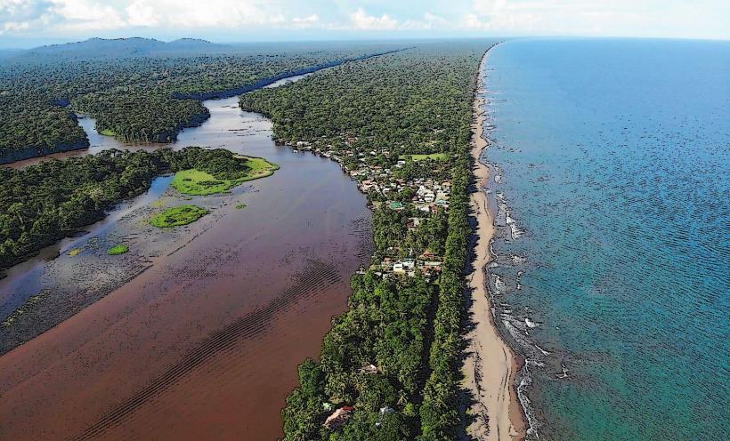
Puerto Viejo de Talamanca is a coastal town situated on the Caribbean coast of Costa Rica, within the Limón Province.
This settlement functions as a primary hub for the surrounding region, offering access to beaches and natural reserves.
Visual Characteristics
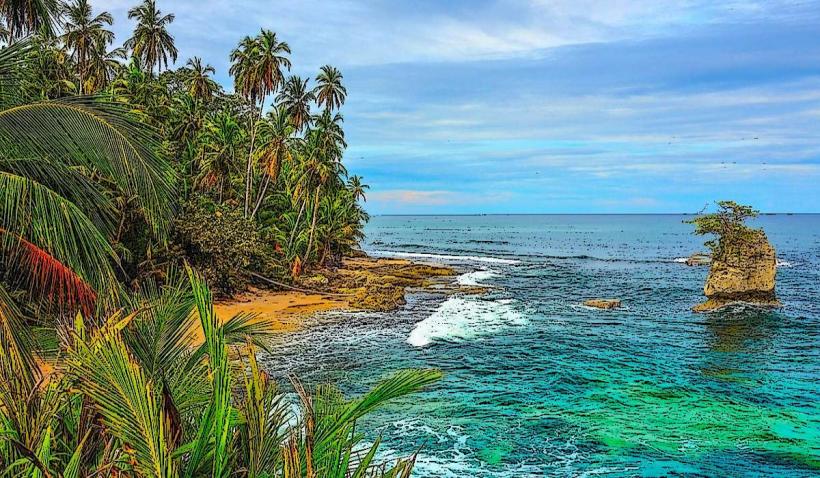
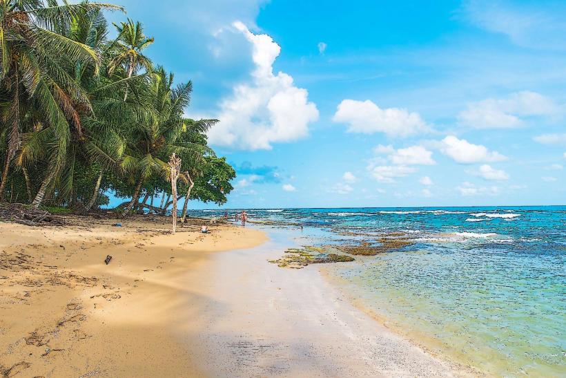
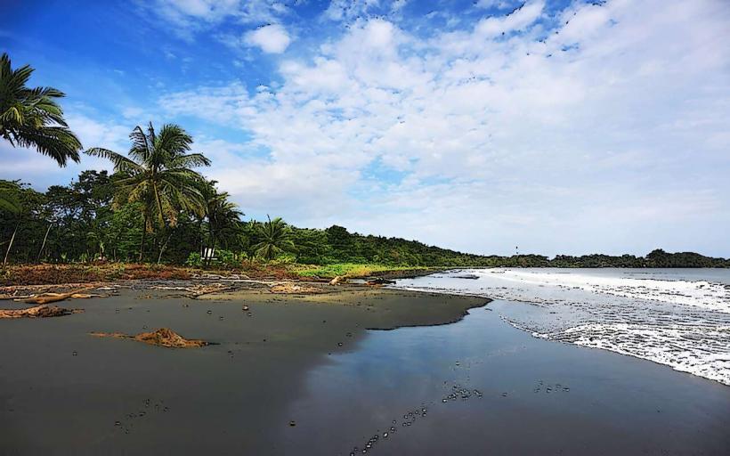
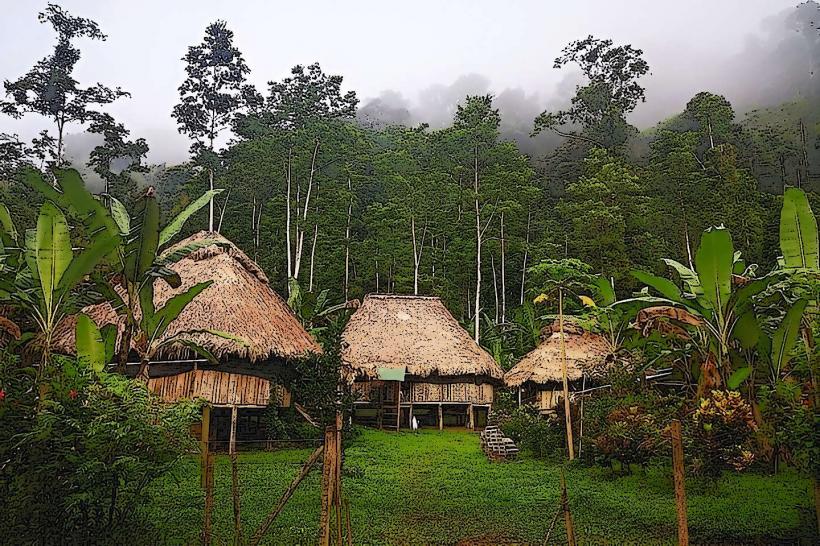
The town exhibits a low-rise architectural style, predominantly featuring wooden structures painted in a variety of bright colors. Buildings are generally one to two stories high. The coastline is characterized by dark volcanic sand beaches interspersed with sections of coral reefs visible at lower tides. Vegetation is dense, with tropical rainforest extending close to the shoreline.
Location & Access Logistics
Puerto Viejo de Talamanca is located approximately 220 kilometers (137 miles) southeast of San José, the capital city. Access is primarily via Route 32, transitioning to Route 240, and finally Route 256. The journey from San José typically takes 4 to 5 hours by car. Public bus services operate from the San José terminal to Puerto Viejo. Parking is available in designated areas within the town, though it can be limited during peak seasons. There are no direct boat transfers to the town itself.
Historical & Ecological Origin
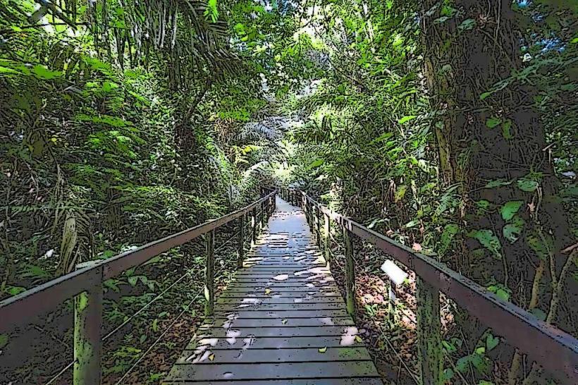
The area's history is tied to indigenous Bribri and Cabécar communities. Modern settlement began with Afro-Caribbean populations arriving in the late 19th and early 20th centuries, primarily for banana plantation work. The region's ecological significance lies in its position within the Talamanca Caribbean Biological Corridor, supporting diverse marine and terrestrial ecosystems, including coral reefs and lowland rainforest.
Key Highlights & Activities
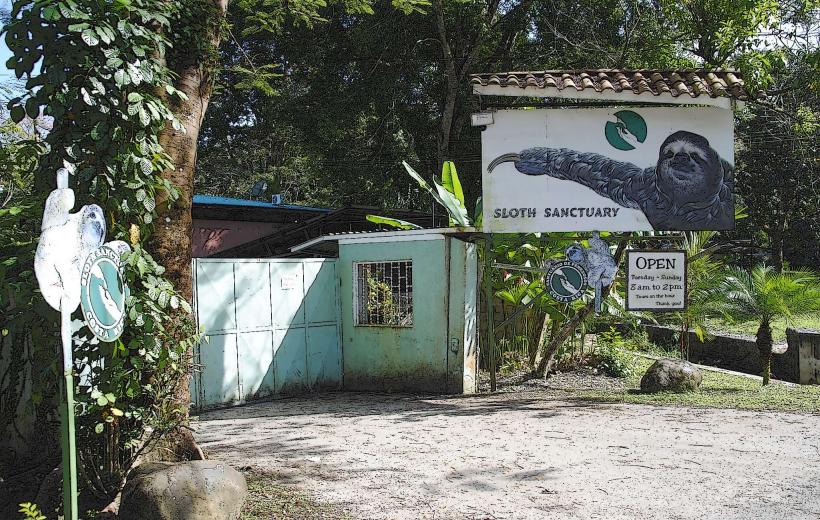
Activities include surfing at Salsa Brava, snorkeling and diving in the Cahuita National Park marine reserve (requires park entry fee), and exploring the Jaguar Rescue Center. Hiking trails are available within nearby protected areas. Beachcombing along the various sand stretches is also a common pursuit.
Infrastructure & Amenities
Restrooms are available at public beaches and within businesses. Shade is provided by palm trees and some man-made structures. Cell phone signal (4G) is generally available within the town center. Food vendors and small restaurants are located along the main road and side streets.
Best Time to Visit
The driest months are typically September and October, and again from February to April. For photography, early morning and late afternoon offer softer light. High tide is generally preferred for swimming and snorkeling, while low tide exposes more of the reef structure.
Facts & Legends
A local legend speaks of a mythical sea creature said to inhabit the waters off the coast, occasionally seen by fishermen during calm seas. The town's name, "Puerto Viejo," translates to "Old Port," referencing its historical role as a trading post.
Nearby Landmarks
- Cahuita National Park (16km Northeast)
- Playa Cocles (3km West)
- Jaguar Rescue Center (4km West)
- Bribri Indigenous Reserve (20km Inland)
- Manzanillo Wildlife Refuge (12km Southeast)