Information
Landmark: Punta Sur Eco ParkCity: Cozumel
Country: Mexico
Continent: North America
Punta Sur Eco Park, Cozumel, Mexico, North America
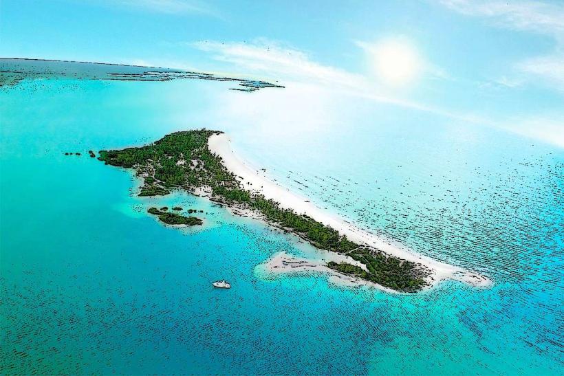
Punta Sur Eco Park is an ecological reserve located at the southern tip of Cozumel Island, Mexico.
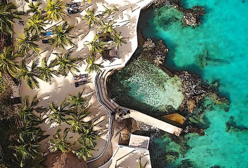
This park encompasses a significant portion of the island's natural landscape, including coastal areas and interior jungle.
Visual Characteristics
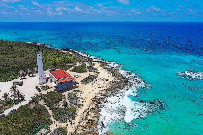
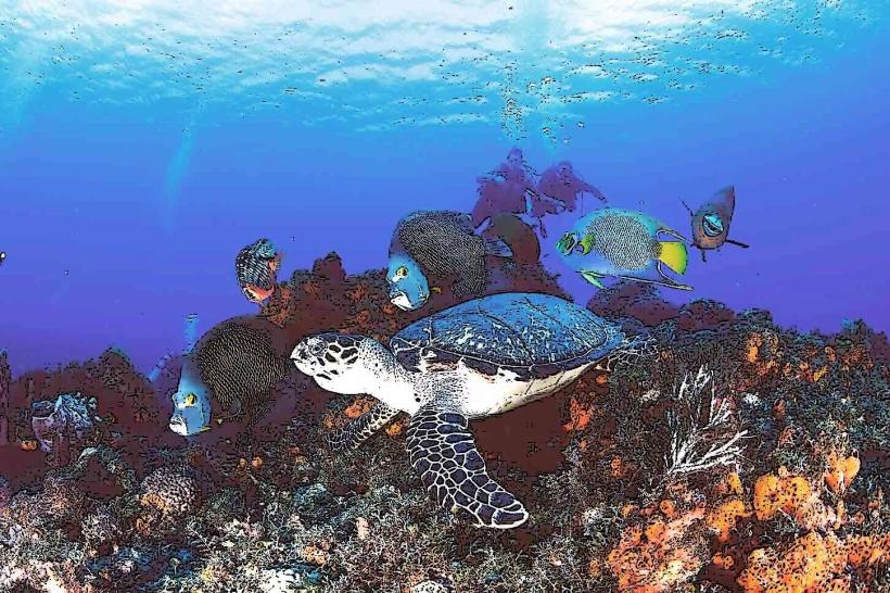
The park features a varied terrain. Coastal areas consist of limestone cliffs and rocky shorelines with clear, turquoise water. Inland, the landscape is characterized by dense tropical vegetation, including palm trees and various shrubs. A prominent feature is the Celarain Lighthouse, a white, cylindrical structure with a red top, standing at approximately 20 meters in height.
Location & Access Logistics
Punta Sur Eco Park is situated at the southernmost point of Cozumel. Access is via the paved road that circles the island, known locally as the Carretera Transversal and then the Carretera Costera Sur. The park entrance is approximately 25 kilometers south of San Miguel de Cozumel. Driving is the primary method of access; rental cars or taxis are recommended. Parking is available at designated areas within the park. Public transportation does not directly service the park entrance.
Historical & Ecological Origin
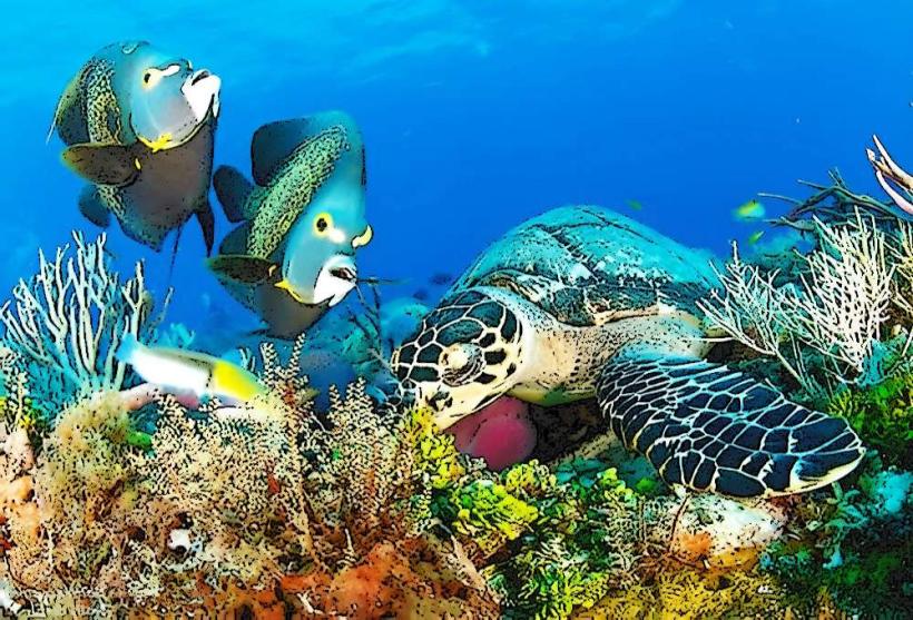
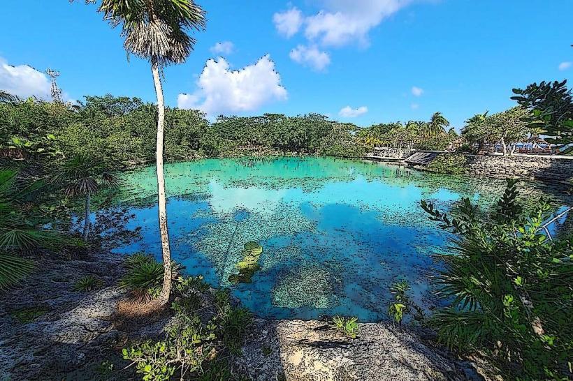
The Celarain Lighthouse was constructed in 1907 to aid maritime navigation in the region. The area is ecologically significant as a protected reserve, preserving a portion of Cozumel's natural habitat. It includes mangrove systems and coastal dunes that support diverse flora and fauna.
Key Highlights & Activities
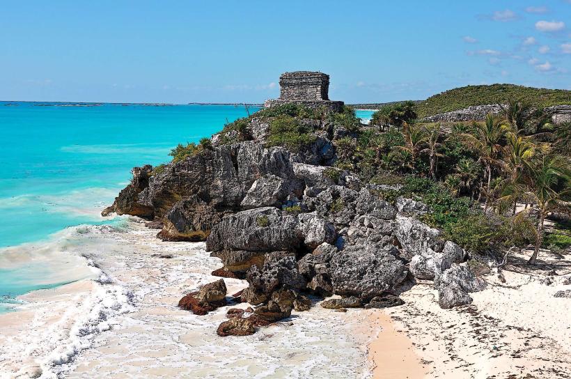
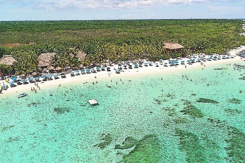
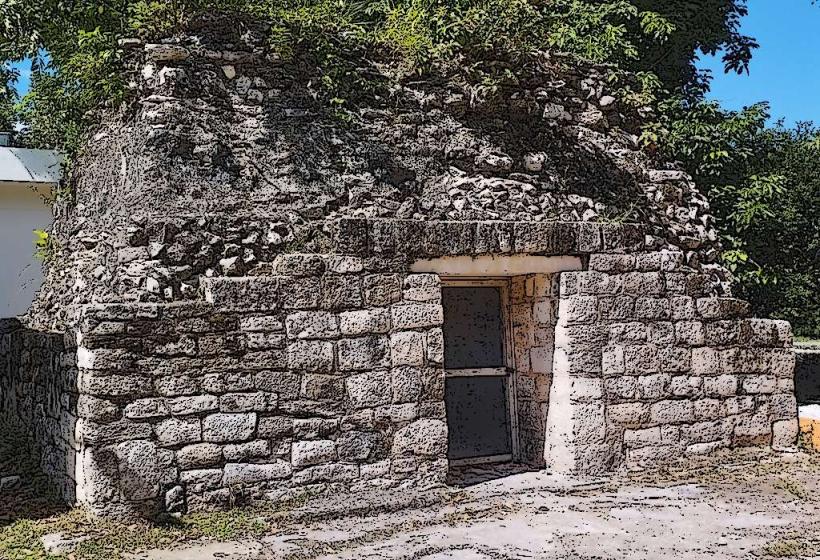
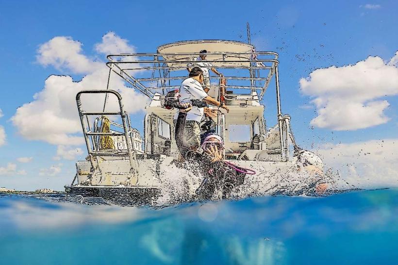
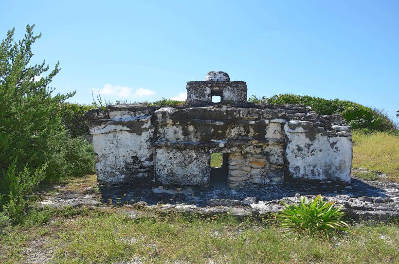
Activities include visiting the Celarain Lighthouse for panoramic views, exploring the El Caracol Mayan ruin, observing crocodiles in their natural habitat at the Laguna Colombia lagoon, and birdwatching. Snorkeling and swimming are possible at designated beach areas, particularly near the lighthouse. Kayaking is available on the lagoon.
Infrastructure & Amenities
Restrooms are available at the park entrance and near the lighthouse. Shaded areas are provided by palapas at the beach. Cell phone signal (4G/5G) is generally available but can be intermittent within denser vegetation. Limited food and beverage vendors operate near the main visitor areas.
Best Time to Visit
For optimal lighting for photography, visit between 9:00 AM and 11:00 AM or 3:00 PM and 5:00 PM. The dry season, from December to April, offers the most pleasant weather conditions. High tide is not a critical factor for most activities, but can affect access to certain shoreline areas.
Facts & Legends
The El Caracol ruin is believed to have been a navigational marker or a small ceremonial site for Mayan sailors. Local lore suggests that the lagoon's crocodiles are descendants of animals released from a private collection decades ago.
Nearby Landmarks
- Celarain Lighthouse (within park)
- El Caracol Mayan Ruin (within park)
- Laguna Colombia (within park)
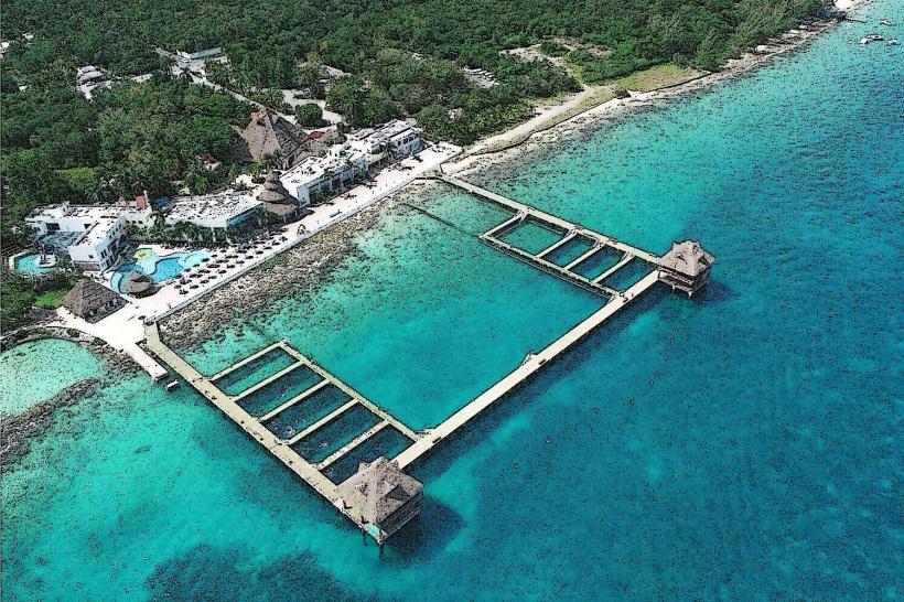
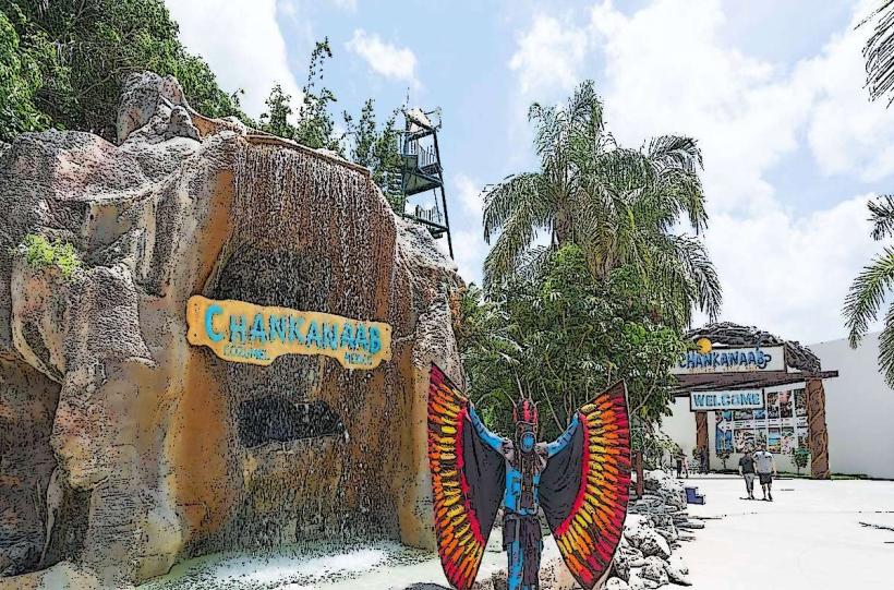
- Chankanaab National Park (15km North)
- San Gervasio Mayan Ruins (20km North)